

UPDATE: Blustery conditions decreasing; National Weather Service cancels wind advisory
Update at 4:28 a.m. Feb. 19, 2026: A wind advisory originally issued early Monday morning (Feb. 16), then extended twice and was last set to expire at 6 a.m. today (Feb. 19) — almost 4 entire days after east winds started battering a good portion of the Big Island — is canceled.
National Weather Service forecasters in Honolulu lifted the advisory earlier than expected because winds have fallen below advisory thresholds.
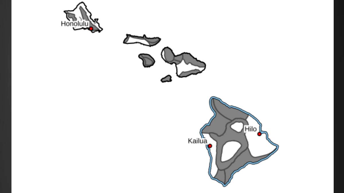
North, northeast, northwest, south, southeast, southwest and interior portions of the island were included in the advisory, with areas with higher terrain, passes and locations immediately south and west of the island’s mountains most at risk.
Those areas were still expected to see blustery east winds of 20 to 30 mph, with gusts up to 50 mph, until early today.
Forecasters report, however, that while winds will remain breezy today, they are largely expected to remain just below advisory levels and continue to gradually decrease throughout the day.
The past few days have been very windy for several locations around the Big Island.
National Weather Service on Wednesday evening provided data from Monday through Wednesday from preliminary highest wind gusts reports:
- Puʻuloa: 72 mph, 6:10 a.m. Feb. 18; elevation of 3,366 feet.
- Kohala Mountain Road: 67 mph, 8 p.m. Feb. 18; elevation of 3,479 feet.
- Kawaihae: 58 mph, 11 a.m. Feb. 17; elevation of 371 feet.
- Kohala Ranch: 58 mph, 11:35 p.m. Feb. 16; elevation of 1,326 feet.
- ʻAla Kahua Drive: 57 mph, 10:50 p.m. Feb. 16; elevation of 533 feet.
- Kawaihae Road: 51 mph, 1:20 p.m. Feb. 17; elevation of 2,248 feet.
- Hulukūpuna Street: 50 mph, 3:10 a.m. Feb. 18; elevation of 285 feet.
- Waikōloa Road Site 2: 50 mph, noon Feb. 16; elevation of 1,073 feet.
- Lālamilo Wells: 50 mph, 6:50 p.m. Feb. 17; elevation of 1,152 feet.
- Waikōloa: 48 mph, 1:35 p.m. Feb. 16; elevation of 977 feet.
- Waikōloa Road: 47 mph, 12:10 p.m. Feb. 16; elevation of 1,096 feet.
- Old Puakō Road: 47 mph, 12:30 a.m. Feb. 17; elevation of 48 feet.
- Hōkūloa United Church of Chirst: 46 mph, 11:10 a.m. Feb. 16; elevation of 2,638 feet.
- Kawaihae: 45 mph, 6:48 a.m. Feb. 18; no elevation available.
Update at 2:30 p.m. Feb. 17, 2026: The National Weather Service has extended the wind advisory for portions of the Big Island until 6 p.m. on Wednesday, Feb. 18.
East winds of 25 to 35 mph are forecast, with gusts up to 60 mph.
Areas most at risk include higher terrain, passes and areas immediately south through west of mountains.
The wind advisory also affects portions of Oʻahu, Maui and Molokaʻi, as well as the islands of Lanaʻi and Kahoʻolawe.
Story originally posted at 3:59 a.m. Feb. 16, 2026: A new wind advisory is in effect for the majority of the Big Island as National Weather Service forecasters expect east winds of 15 to 30 mph with gusts up to 50 mph through Tuesday evening (Feb. 17).
Areas under the advisory include north, northeast, northwest, south, southeast, southwest and interior portions of the island.
The advisory runs through 6 p.m. Tuesday.
Winds as strong as those forecast can tear off shingles, knock down tree branches, blow away tents and awnings and make it difficult to steer, especially for drivers of high-profile vehicles.
Forecasters advise the public to:
- Watch out for falling tree branches when walking or driving.
- Make sure tents and awnings are secure or taken down.
- Be prepared for power outages.
- Secure trash cans, lawn furniture and other loose outdoor objects that can be easily blown around by strong winds.
Sponsored Content

_1770333123096.webp)

