


Hilo, Big Island Weather
- Change Towns
- Hilo
- Kona
- Ocean View
- Pahala
- Waimea
Overnight
Saturday
Saturday Night
Sunday
Sunday Night
Monday
Monday Night
Tuesday
Tuesday Night
Wednesday
Wednesday Night
Thursday
Thursday Night
Friday
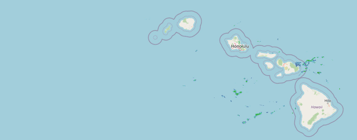 Weather Radar
Regional Big Island Weather Forecast National Weather Service issues coastal flood statement for weekend
Peak monthly tides combined with water levels running higher than predicted could lead to minor coastal flooding issues for the state’s typically vulnerable low-lying coastal areas this weekend.
The National Weather Service forecast office in Honolulu issued a coastal flood statement for Big Island shores from midnight through late Sunday night because of expected higher than normal water levels.
Isolated minor coastal flooding is expected.
Best chance for impacts — which will include flooding of normally dry beaches, minor coastal erosion and saltwater inundation — will occur especially during the early morning high tides and daybreak.
The National Weather Service advises the public:
- Avoid driving through flooded roadways.
- If you are forced to drive through salt water, be sure to rinse your vehicle with fresh water.
- Move electronics, vehicles and other valuables to higher ground.
- Monitor vessels to ensure mooring lines don’t get too tight.
- Watch out for overwash around boat ramps.
- Secure canoes or other watercraft stowed on beaches.
Submit your coastal flooding photos to the University of Hawai‘i Sea Grant College Program’s Hawai‘i and Pacific Islands King Tides Project online.