


Tropical Depression Fausto Wednesday update: Storm now forecast to become post-tropical remnant low by late this morning
High surf along east-facing shores of the island chain generated by Fausto also is declining quickly as the system passes by the state.
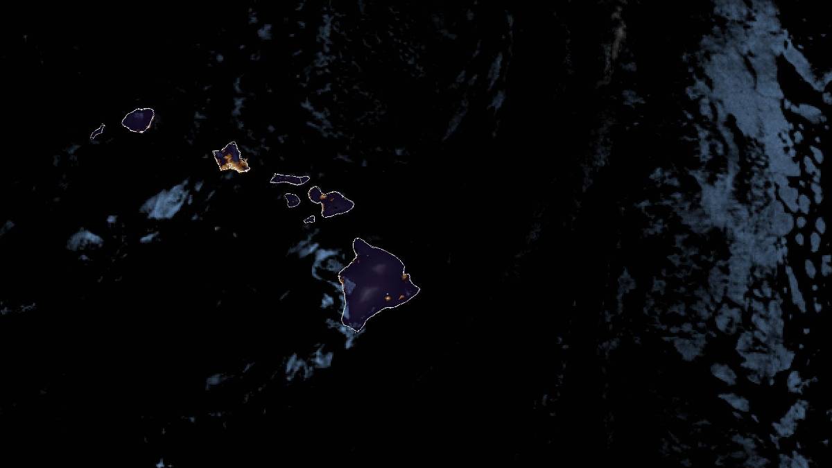
This story was updated at 4:55 a.m. July 29, 2026.
Fausto is now a tropical depression, weakening from a tropical storm earlier than the July 29 timeline forecasters originally set, and the storm will continue weakening as it passes north of the Hawaiian Islands through Wednesday night.
It is possible Fausto even could dissipate sooner than forecast; in fact, the National Hurricane Center forecast as of 11 p.m. July 28 show the system becoming a post-tropical remnant low by later this morning.
High surf along east-facing shores of the island chain generated by Fausto also is declining quickly as the storm passes by the state.
A high surf warning previously in effect until 6 p.m. Wednesday was canceled early this morning and replaced with a high surf advisory until 6 p.m. today for all eastern shores of the islands.
The swell from Fausto fell below warning levels and will continue to rapidly decrease Wednesday, with surf expected to diminish below the advisory threshold by this afternoon as the depression continues to weaken.
Surf of 8 to 12 feet is still forecast through the morning, then quickly diminishing below 10 feet by this afternoon.
Strong breaking waves and strong currents will continue to make swimming and other ocean recreation activities dangerous while the advisory is in effect.
Heed all advice from ocean safety officials, and remember: when in doubt, don’t go out.
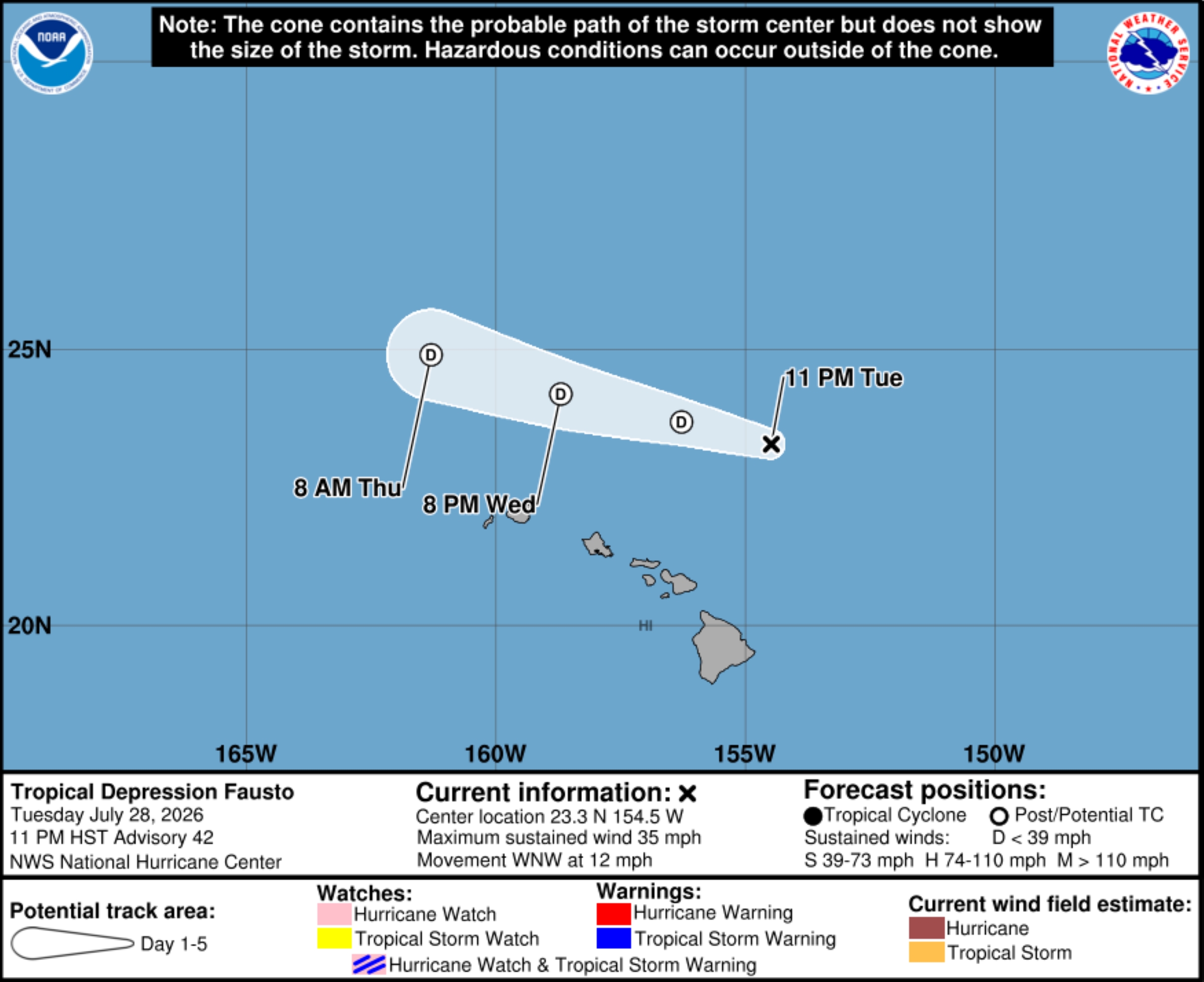
Fausto was located about 250 miles north of Hilo by the 11 p.m. storm update from the Central Pacific Hurricane Center in Honolulu. Its winds were down to a sustained 35 mph and the storm continued a west-northwest track at 12 mph.
While the system is expected to dissipate sooner than later, because of high surf conditions persisting, forecasters advise all interests and stakeholders in Hawai’i to monitor what’s left of Fausto until it moves away from the islands.
Fausto reached a wall of westerly vertical wind shear as it traverses through mid-level relative humidity values hovering near only 30%.
“In these conditions, it will be quite difficult for Fausto to redevelop enough convection to stay alive as a tropical cyclone,” said the 11 p.m. advisory discussion on the National Hurricane Center and Central Pacific Hurricane Center website.
Global forecast models suggest the remnant low Fausto becomes will then open up into a trough about 36 hours later, with dissipation just after that time.






