Advisory Level Swell + King Tides This Holiday Weekend
Alerts (as of 1:00 a.m.)
High Surf Advisory: Through 6 p.m. Saturday for all south shores.
Special Weather Statement: Coastal flooding associated with king tides is possible over Labor Day weekend. The greatest potential is in the afternoon hours when the highest tides are expected. This coupled with an elevated south swell could compound the problem.
**Click directly on the images below to make them larger. Charts include: Big Island projected winds, tides, swell direction & period and expected wave heights.**
Big Island Surf Forecast
Hilo side: Surf heights are expected to be waist high or less today. Many spots will be flat.
Kona side: Surf heights are expected to be waist/shoulder high today. The best breaks will get up to head high or more.
South: Surf heights are expected to be waist/shoulder high today. The best breaks will get up to head high or more. Around South Point waves could get up to overhead or more.
Our current south swell is forecast to keep wave heights above advisory levels for southern facing shores. Surf is expected to slowly trend down on Saturday.
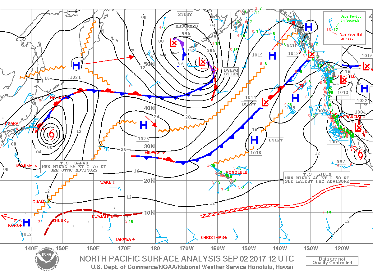
Out of the north Pacific, Tropical Cyclone Sanvu near Japan and a gale-force low developing near the eastern Aleutians are forecast to bring swells if they develop as the models are currently showing. If so, a small west-northwest swell and a larger north-northwest swell are possible next week.
Keep in mind, surf heights are measured on the face of the wave from trough to crest. Heights vary from beach to beach, and at the same beach, from break to break.
Sponsored Content
Comments


_1770333123096.webp)


