

Update: High surf advisory extended through Friday for west-facing shores of Big Island
Update, Jan. 15, 3:27 p.m. The high surf advisory has been extended through 6 p.m. tomorrow for west-facing shores of the Big Island as an exceptionally large northwest swell moves through the region, according to forecasters with the National Weather Service.
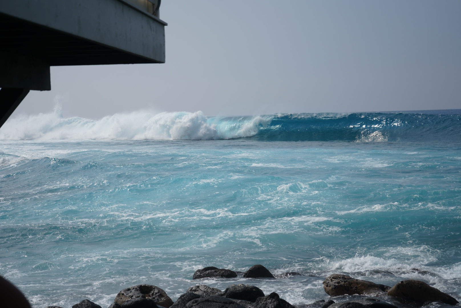
The National Weather Service said a long-period northwest swell is expected to continue building this afternoon, peak later today, and gradually subside on Jan. 16.
Original Post: A high surf advisory is in effect for west-facing shores of the Big Island until 6 p.m. Friday (Jan. 16) as an extra-large, long-period northwest swell is forecast to build this morning, peak this afternoon and then gradually fade through Friday afternoon.
Surf heights also could swiftly rise to above warning criteria along the same shorelines.
The National Weather Service forecast office in Honolulu expects surf building to 7 to 10 feet along western shorelines of the Big Island, bringing with it strong breaking waves and strong currents that will make swimming and other ocean activities dangerous.
Forecasters advise the public to heed all advice from ocean safety officials — when in doubt, don’t go out.
Sponsored Content


