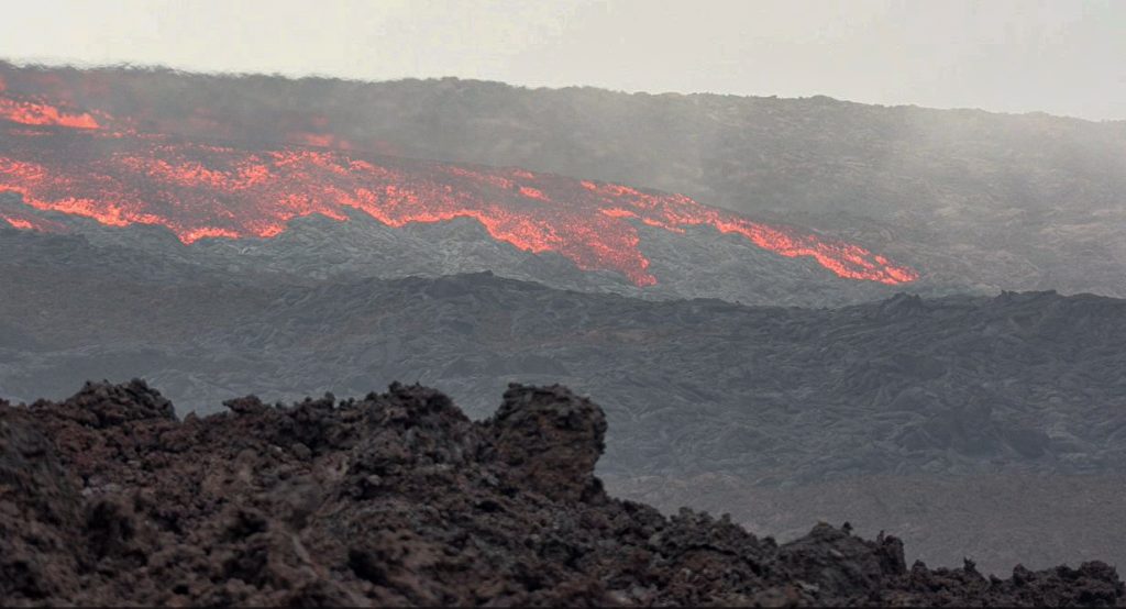
Mauna Loa Forest Reserve and other state-managed areas are closed due to eruption
Due to the ongoing eruption of Mauna Loa, the Hawaiʻi State Department of Land and Natural Resources today closed Unit J of the Kapāpala Game Management Area on the Big Island until further notice.
On Monday, the state closed the massive 50,000-acre Mauna Loa Forest Reserve, the Kipuka ‘Ainahou Nēnē Sanctuary, the ʻĀinapō Trail and cabin, and the Kapāpala Forest Reserve for at least 90 days.
“No one should be accessing Mauna Loa at this time,” said Steve Bergfeld, Hawai‘i Island Branch manager for the state Division of Forestry and Wildlife, in a news release. “Our sole focus is on public safety, which depends on where lava ultimately flows.”
The National Park Service has closed access to the Mauna Loa summit from the south, due to the initial period of volcanic unrest.
Jack Corrao, Chief Ranger at Hawai’i Volcanoes National Park, said in a statement: “As part of our eruption response plan, Hawai‘i Volcanoes has implemented further closures to the main, easy, access points that lead up to the Mauna Loa Summit.
“These include the Mauna Loa Observatory Access Road through Hawai‘i County and Mauna Loa Road, known locally as Strip Road. These have been closed physically through barriers. Individuals attempting to access through these are subject to fines and arrest.”

On Monday, officers from the Hawaii Police Department and the state Division of Conservation and Resources Enforcement set up and began manning a roadblock at the intersection of Daniel K. Inouye Highway (Saddle Road) and the Mauna Loa Observatory Access Road.
Above the roadblock, Bergfeld got a glimpse of the lava flow which he estimated at about one-mile-long. Lava appeared to be flowing slowly from the mountain’s caldera, which is continuing to send large plumes of gas and ash high into the sky. Much of the 50,000-acre Mauna Loa Forest Reserve is covered in lava from previous eruptions.

Bergfeld and his staff are concerned that if lava begins flowing the opposite direction and into the Puʻu Makaʻala Natural Area Reserve, years of restoration work could be destroyed.
Puʻu Makaʻala has been fenced to keep feral ungulates out to create habitat for numerous endangered Hawaiian forest birds and to re-establish native vegetation. It’s much too early to tell if the eruption is impacting other natural or cultural resources in the forest reserve.
There are numerous other state forest reserves and natural area reserves on both sides of Mauna Loa. Teams will continue monitoring lava flows as they occur.
Sponsored Content
Comments


_1770333123096.webp)


