

UPDATE: Dangerously large breaking waves of 20 to 30 feet now forecast through Saturday night for parts of Big Island
Update 7:30 a.m. Friday: A large medium period swell from the north-northeast direction (010-030 degrees) will move into Hawaiian waters today. North-facing shores on the Big Island will continue to see warning-level surf lasting through Saturday.
The forecast calls for dangerously large breaking waves of 20 to 30 feet along north-facing shores until 6 p.m. Saturday for north-facing shores of the Big Island, Niʻihau, Kauaʻi, Oʻahu, Molokaʻi and Maui.
The National Weather Service in Honolulu also has issued a high surf advisory for west-facing shores of the Big Island.
A shift in swell direction will lead to lower surf heights along west-facing shores today. The current High Surf Advisory was canceled for all west-facing shores, except on the Big Island.
Expect very strong breaking waves and powerful currents. Waves breaking in channel entrances may make navigating the channels dangerous.
Trade winds will begin to diminish today, and weaken further to light and variable on Saturday.
Stay away from the shoreline along the affected coasts. Be prepared for road closures. Postpone entering or leaving channels affected by the high surf until the surf subsides.
Original post: The National Weather Service in Honolulu has issued a high surf warning for north and east shores of the Big Island. The agency also issued a high surf advisory for the Kohala area in West Hawaiʻi, and a wind advisory remains in effect for the entire island.

The high surf warning and high surf advisory are in effect until 6 p.m. Friday, while the wind advisory will be in effect until 6 a.m. Friday.
Large surf is forecast to impact the north and east shores of the island, from ʻUpolu Point in North Kohala to Cape Kumukahi in Puna. Dangerously large breaking waves of 20 to 30 feet are forecast for these shores.
The National Weather Service says very strong breaking waves and powerful currents are expected in the warning area. Waves breaking in channel entrances could make navigating the channels dangerous. Significant overwash issues over low-lying roadways and beach erosion will also occur with the large wave runup along the shoreline.
The agency advises people to stay away from the shoreline along the affected coasts, be prepared for road closures and postpone entering or leaving channels affected by the high surf until the surf subsides.
This swell will produce high to extra-large surf through tonight. West-facing shores exposed to the large north swell will also experience a significant rise in surf from north wrap.
Large breaking waves of 8 to 10 feet are forecast along the Kohala coastline in the high surf advisory area. Strong breaking waves and strong currents will make swimming dangerous.
The swell coincides with strong to gale-force northeast winds, as well as a spring high tide during the early morning hours Friday, which will likely resulting in significant shoreline runup.
A cold front moving into the northwestern islands will produce strong and gusty northeast winds after passing through each island today. The potential for very strong wind gusts continues for typical windier locations, such as mountain ridges or leeward areas prone to gusty winds.
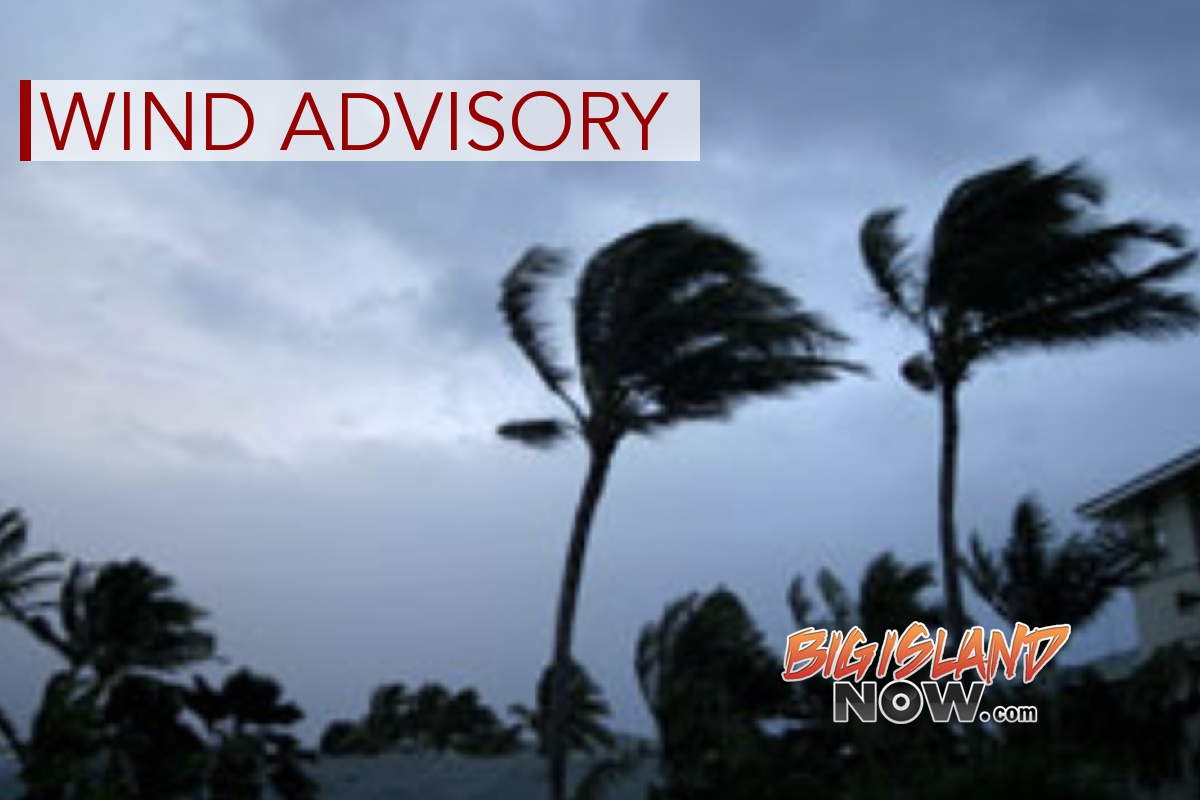
Sustained north winds of 25 to 35 mph are expected, with gusts of up to 55 mph, and downslope winds could become accelerated. Winds this strong can tear off shingles, knock down tree branches, blow away tents and awnings and make driving difficult, especially for drivers of high profile vehicles. Power outages also are possible.
Because of the advisories, Hawai‘i County Civil Defense issued the following:
- Beachgoers, swimmers and surfers should exercise caution and heed all advice given by ocean safety officials. Beaches could close without notice.
- Secure all outdoor items and be aware of downed trees.
- Motorists should drive with caution.
- Road closures could occur without notice.
Sponsored Content


