
Sat, Apr 5, 2025 · 4:45 pm - 10:00 pm
Weather 


High Surf Warning in Effect for Kona Side
A
A
A

Image: Chris Arruda
Alerts (as of 1:00 a.m.)
High Surf Warning: West shores of Big Island through 6 p.m. Thursday.
Small Craft Advisory: All island waters through 6 p.m. Thursday.
Special Weather Statement: Very windy conditions are expected this weekend. These winds will be especially gusty at higher elevations and through mountain gaps and downsloping areas. If you have outdoor activities planned, you may want to postpone them or reconsider your plans.
ARTICLE CONTINUES BELOW AD
ARTICLE CONTINUES BELOW AD
**Click directly on the images below to make them larger. Charts include: Big Island projected winds, tides, swell direction & period and expected wave heights.**
SWIPE LEFT OR RIGHT
ARTICLE CONTINUES BELOW AD
 Big Island Surf Forecast
Hilo side: Wave heights are forecast to be head high to overhead or more today for the best exposures.
Kona side: Wave heights are expected to be head high to overhead today with waves up to double overhead on the sets at the best exposures.
South: Wave heights are expected to be head high to overhead today with waves up to double overhead on the sets at the best exposures.
ARTICLE CONTINUES BELOW AD
 A new elevated west-northwest swell is expected to peak Thursday up to double overhead at the best exposures. The swell starts easing into Friday but a reinforcement is right behind it. The new swell is expected to build Friday and peak late that day, then hold into Saturday morning and ease late Saturday into Sunday. Another swell is expected on the 25th as well.
Saturday and Saturday night a High Surf Advisory is forecast for east facing shores.
A small southwest swell is forecast for the 22nd through the 24th.
Keep in mind, surf heights are measured on the face of the wave from trough to crest. Heights vary from beach to beach, and at the same beach, from break to break.
**Click here for your detailed Big Island weather report.**
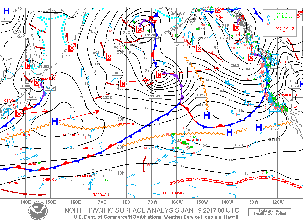
Image: NOAA
Image: NOAA
Image: NOAA
Image: NOAA
Image: NOAA
Image: NOAA
Sponsored Content

Subscribe to our Newsletter
Stay in-the-know with daily or weeklyheadlines delivered straight to your inbox.
Comments
This comments section is a public community forum for the purpose of free expression. Although Big Island Now encourages respectful communication only, some content may be considered offensive. Please view at your own discretion. View Comments