

Trade Winds Build Today

Image: James Grenz
Alerts (as of 1:00 a.m.)
A Small Craft Advisory is in effect for all Big Island windward waters through 6 a.m. Friday.
A High Surf Warning is posted for the west side of the Big Island through 6 p.m. Thursday.
A High Surf Advisory is posted for the north shore of the Big Island through 6 p.m. Thursday.
Marine Alert – Beginning Wednesday a large, very dangerous northwest swell will produce harbor surges and large breaking waves at the harbor entrances exposed to this swell. This includes Honokohau boat harbors.
**Click directly on the images below to make them larger. Charts include: Big Island high/low forecasted temperatures, projected winds, chance of cloud cover, projected localized weather conditions, vog/SO2 forecast and expected wave heights.**
Looking Ahead
Light trade winds are forecast to gradually strengthen Thursday. Moderate trade winds are expected to continue into the weekend bringing clouds and a few showers to windward areas, mainly on Friday and Saturday. The atmosphere is quite stable so that will limit shower coverage and intensity. Winds are forecast to weaken and shift to the southeast on Saturday and Sunday. Gusty trade winds are then expected to return along with showers for windward spots making for a wet trade wind pattern from Monday night into Wednesday.
Today
Today we expect partly sunny skies with areas of haze. Isolated showers for windward spots. Winds are out of the northeast from 10 to 20 mph. High temperatures from 79° to 84°.
UV index at 10 (“very high” exposure level)
Tonight
Northeast winds are expected from 10 to 20 mph tonight. Low temperatures from 66° to 71° with partly cloudy skies and scattered showers for windward areas.
Our Big Island Now Weather homepage always includes daily: Sunrise | Sunset | Moonrise | Moonset | Moon Phase | Live Weather Cams | 5-day Forecast | Current Temperature & Conditions
**Click here for your detailed Big Island surf report.**

Image: NOAA /NWS

Image: NOAA /NWS

Image: NOAA /NWS

Image: NOAA /NWS
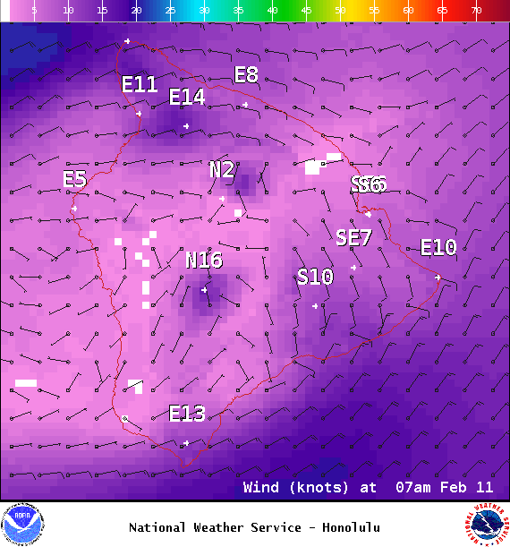
Image: NOAA /NWS
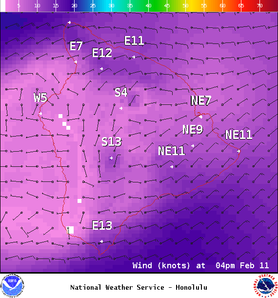
Image: NOAA /NWS
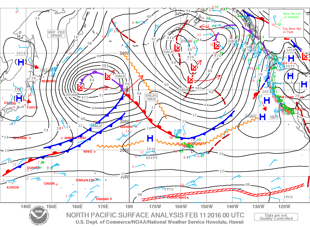
Image: NOAA /NWS
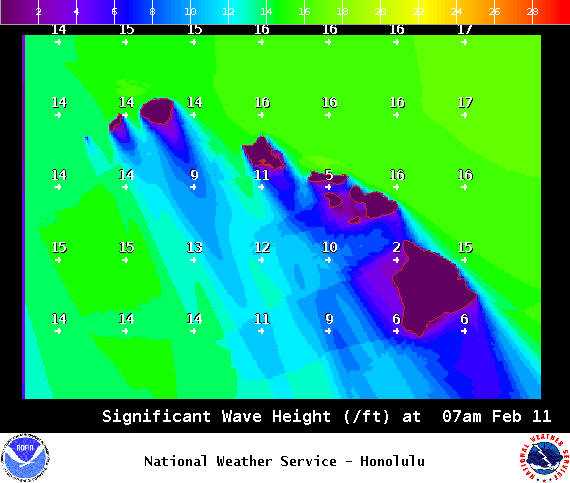
Image: NOAA /NWS
Sponsored Content


