
Every Tuesday · 9:00 am - 2:30 pm
Weather 


High Winds Expected for Weekend, Today’s Forecast
A
A
A

Image: James Grenz
Alerts (as of 1:00 a.m.)
High Surf Warning: West shores of Big Island through 6 p.m. Thursday.
Small Craft Advisory: All island waters through 6 p.m. Thursday.
Special Weather Statement: Very windy conditions are expected this weekend. These winds will be especially gusty at higher elevations and through mountain gaps and downsloping areas. If you have outdoor activities planned, you may want to postpone them or reconsider your plans.
ARTICLE CONTINUES BELOW AD
ARTICLE CONTINUES BELOW AD
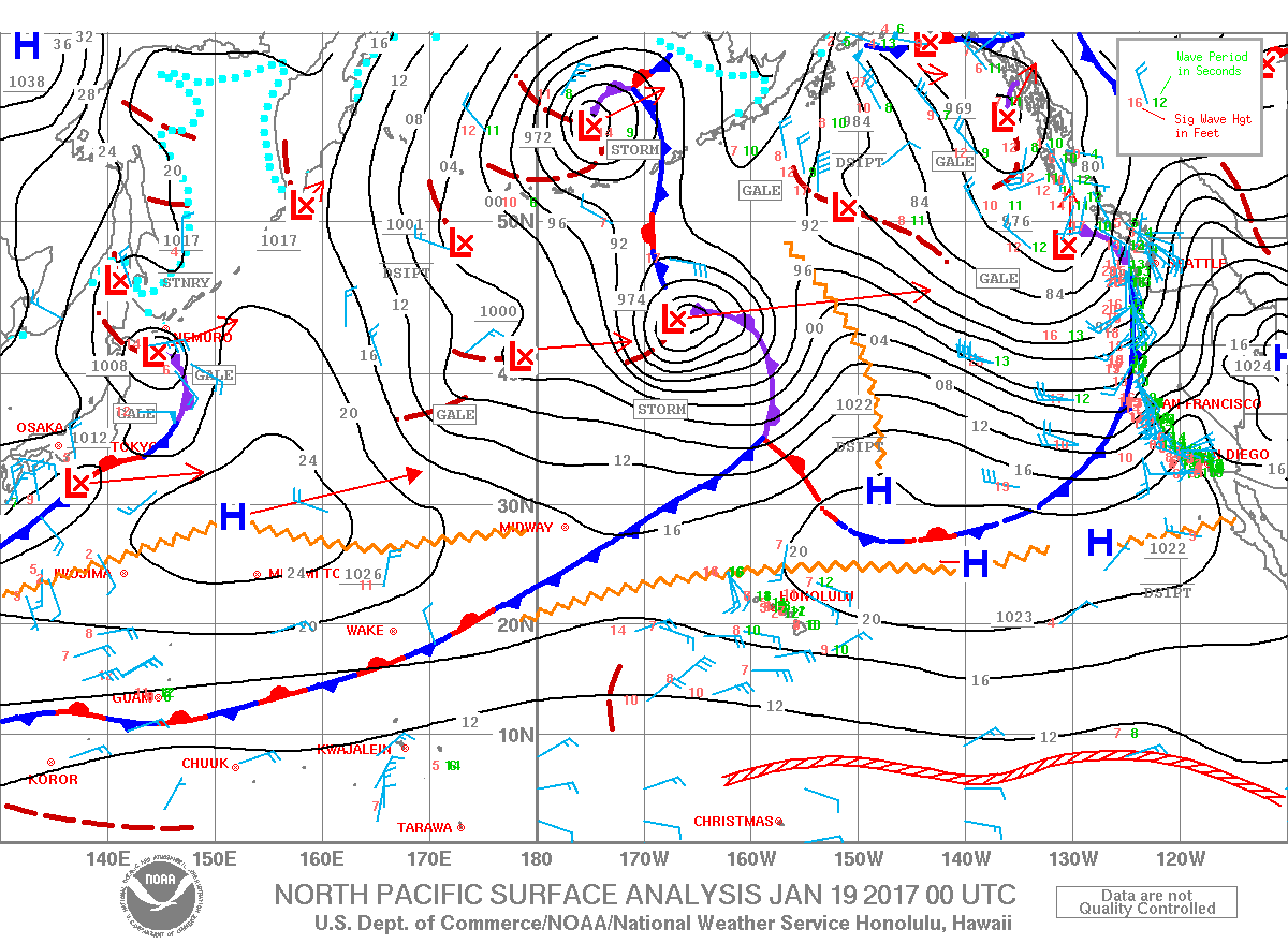
**Click directly on the images below to make them larger. Charts include: Big Island high/low forecasted temperatures, projected winds, chance of cloud cover, projected localized weather conditions, vog/SO2 forecast and expected wave heights.**
SWIPE LEFT OR RIGHT
Looking Ahead
ARTICLE CONTINUES BELOW AD
Moderate to breezy trade winds are expected through Thursday with winds becoming light and variable Thursday night and Friday as a front approaches. The front will pass over the islands this weekend and stalling out near the Big Island early next week bringing an increase in showers across the state. Very strong trade winds are expected this weekend, before easing early next week.
Today
We have east winds today from 10 to 15 mph with high temperatures from 79° to 84°. Partly cloudy skies are forecast for windward and mauka spots with scattered morning showers and party cloudy skies and isolated showers in the afternoon. Mostly sunny skies for the Kona side with some clouds building in the afternoon.
ARTICLE CONTINUES BELOW AD
UV index at 5 (“moderate” exposure level)
Tonight
East winds 10 to 15 mph tonight. Scattered windward showers with clearing skies for the leeward side. Low temperatures from 67° to 72°.
Our Big Island Now Weather homepage always includes daily: Sunrise | Sunset | Moonrise | Moonset | Moon Phase | Live Weather Cams | 5-day Forecast | Current Temperature & Conditions
**Click here for your detailed Big Island surf report.**
Image: NOAA
Image: NOAA
Image: NOAA
Image: NOAA
Image: NOAA
Image: NOAA
Image: NOAA
Image: NOAA
Sponsored Content

Subscribe to our Newsletter
Stay in-the-know with daily or weeklyheadlines delivered straight to your inbox.
Comments
This comments section is a public community forum for the purpose of free expression. Although Big Island Now encourages respectful communication only, some content may be considered offensive. Please view at your own discretion. View Comments