


Hawaii County Surf Forecast for November 14, 2026
Forecast for Big Island Windward and Southeast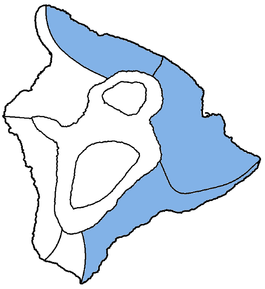
| Shores | Tonight | Saturday | ||
|---|---|---|---|---|
| Surf | Surf | |||
| PM | AM | AM | PM | |
| North Facing | 6-8 | 6-8 | 6-8 | 6-8 |
| East Facing | 4-6 | 4-6 | 4-6 | 4-6 |
| South Facing | 1-3 | 1-3 | 1-3 | 1-3 |
| Weather | Mostly cloudy. Scattered showers. | |||||
|---|---|---|---|---|---|---|
| Low Temperature | In the lower 70s. | |||||
| Winds | Northeast winds 5 to 10 mph. | |||||
|
||||||
| Weather | Partly sunny. Numerous showers. | ||||||
|---|---|---|---|---|---|---|---|
| High Temperature | In the lower 80s. | ||||||
| Winds | Northeast winds 5 to 10 mph. | ||||||
|
|||||||
| Sunrise | 6:28 AM HST. | ||||||
| Sunset | 5:41 PM HST. | ||||||
Forecast for Big Island Leeward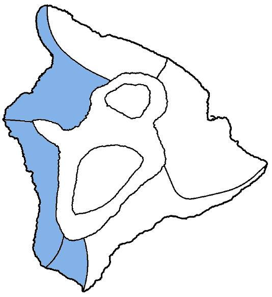
| Shores | Tonight | Saturday | ||
|---|---|---|---|---|
| Surf | Surf | |||
| PM | AM | AM | PM | |
| West Facing | 2-4 | 2-4 | 1-3 | 1-3 |
| South Facing | 1-3 | 1-3 | 1-3 | 1-3 |
| Weather | Mostly cloudy until 6 PM, then partly cloudy. Scattered showers. |
|---|---|
| Low Temperature | In the upper 60s. |
| Winds | Northwest winds around 5 mph, becoming southeast in the evening, then becoming east after midnight. |
| Weather | Mostly sunny. Scattered showers. |
|---|---|
| High Temperature | In the mid 80s. |
| Winds | Southeast winds around 5 mph, becoming west in the afternoon. |
| Sunrise | 6:32 AM HST. |
| Sunset | 5:45 PM HST. |
Swell Summary
A moderate, north-northwest swell will continue to decline tonight into the weekend, allowing surf to become moderate to small and then small. A new small, north- northwest swell will support continued small surf into Saturday before the arrival of a more significant north swell. This moderate, long- period north swell arriving late Saturday night may bring surf to advisory levels on Sunday for north and west- facing shores. Surf to at least moderate levels will last into Monday before the swell really begins to fade on Tuesday. A small to moderate northwest swell is then possible by next weekend.
Surf along east-facing shores will remain rough and choppy due to the strong trade winds this afternoon, then may decrease slightly tonight and Saturday as trades ease early this weekend. Surf will increase again Sunday into early next week as trades restrengthen. South shore surf will stay tiny to small for the next few days, then a small long period swell could boost surf heights towards the end of next week.
NORTH EAST
NORTH WEST
WEST
SOUTH EAST
Data Courtesy of NOAA.gov and SwellInfo.com