


Hawaii County Surf Forecast for November 13, 2026
Forecast for Big Island Windward and Southeast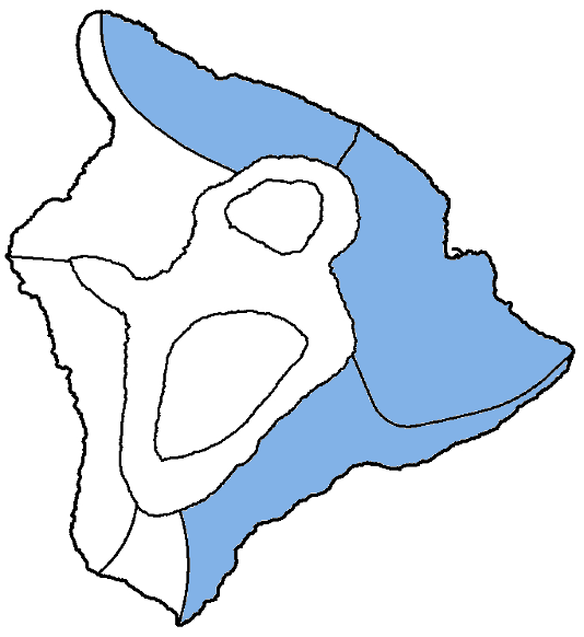
| Shores | Tonight | Friday | ||
|---|---|---|---|---|
| Surf | Surf | |||
| PM | AM | AM | PM | |
| North Facing | 9-12 | 8-12 | 6-8 | 5-7 |
| East Facing | 5-7 | 5-7 | 5-7 | 5-7 |
| South Facing | 2-4 | 2-4 | 1-3 | 1-3 |
| Weather | Mostly cloudy. Scattered showers. | ||||||
|---|---|---|---|---|---|---|---|
| Low Temperature | Around 70. | ||||||
| Winds | Northeast winds around 10 mph. | ||||||
|
|||||||
| Weather | Mostly sunny. Isolated showers. | |||||
|---|---|---|---|---|---|---|
| High Temperature | In the lower 80s. | |||||
| Winds | Northeast winds around 10 mph. | |||||
|
||||||
| Sunrise | 6:27 AM HST. | |||||
| Sunset | 5:42 PM HST. | |||||
Forecast for Big Island Leeward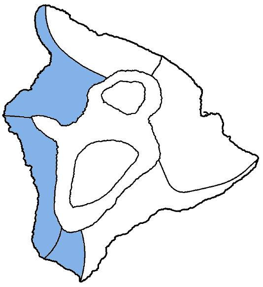
| Shores | Tonight | Friday | ||
|---|---|---|---|---|
| Surf | Surf | |||
| PM | AM | AM | PM | |
| West Facing | 4-6 | 4-6 | 3-5 | 3-5 |
| South Facing | 2-4 | 2-4 | 1-3 | 1-3 |
| Weather | Partly cloudy. Isolated showers. |
|---|---|
| Low Temperature | In the upper 60s. |
| Winds | Light and variable winds, becoming east around 5 mph in the evening, then becoming light and variable after midnight. |
| Weather | Sunny. |
|---|---|
| High Temperature | In the mid 80s. |
| Winds | Light and variable winds, becoming northwest around 5 mph in the afternoon. |
| Sunrise | 6:31 AM HST. |
| Sunset | 5:46 PM HST. |
Swell Summary
A High Surf Advisory (HSA) remains in effect for north and west facing shores of Niihau, Kauai, Oahu, and Molokai, and north facing shores of Maui, through tonight. The current northwest swell will decline tonight, with surf falling below advisory criteria by early Friday. Surf will continue to decrease throughout the day on Friday, but will experience another small bump on Saturday with a new north- northwest swell, followed by a more significant north swell which could push surf back to advisory levels on Sunday.
Surf along east-facing shores will remain rough and choppy due to the strong trade winds through Friday. East-facing shores may decrease briefly as trades begin to ease early this weekend, but will increase again Sunday into early next week as trades increase again. South shore surf will tiny to small for the next few days.
NORTH EAST
NORTH WEST
WEST
SOUTH EAST
Data Courtesy of NOAA.gov and SwellInfo.com