


Uncertainty at Kīlauea summit prompts safety closures at Hawai‘i Volcanoes National Park
Temporary closures of Halemaʻumaʻu Trail and part of Byron Ledge Trail go into effect at 5 p.m. today (Oct. 7) because of continued inflation and increased seismicity at Kīlauea volcano summit; more than 200 shallow earthquakes were recorded during the past week, with 6 more during the past 24 hours.
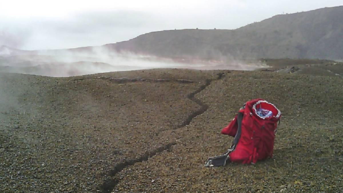
Hawaiʻi Volcanoes National Park is temporarily closing Halemaʻumaʻu Trail and part of Byron Ledge Trail by 5 p.m. today (Oct. 7) because of continued inflation and increased seismicity at the summit of Kīlauea volcano.
The trail closures encompass a total of 1.3 miles.
Hawaiian Volcano Observatory reports more than 200 shallow earthquakes were recorded during the past week below Kīlauea summit, and six more happened during the past 24 hours.
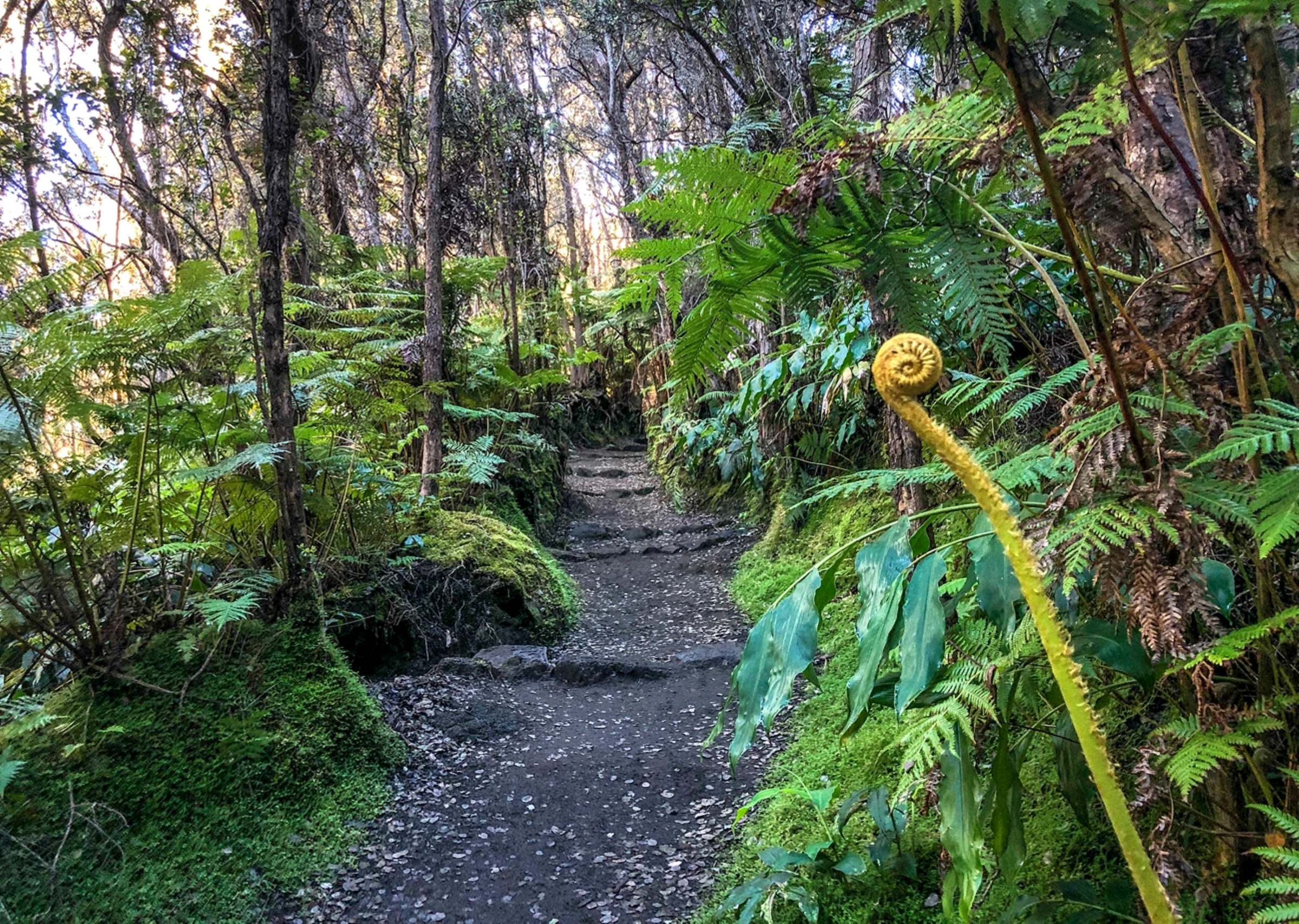
A magnitude-3.4 earthquake at 9:52 p.m. Sept. 30 caused small rockfalls along the north wall of the caldera.
The increased seismicity could trigger additional rock falls and presents a serious safety risk. Both trails descend from the caldera rim to the floor and have been the site of dangerous rock falls in the past.
Kīlauea volcano is highly pressurized, and while forecasting is not possible because of the irregularity in inflation and deflation, changes could occur quickly at the summit.
Hawaiian Volcano Observatory scientists report that additional cracks opened on the caldera floor between Uēkahuna and Wahinekapu (Steaming Bluff) likely because a short-lived magma intrusion to the area Sept. 30 to Oct. 1.
Observatory scientists suggest lava fountains could resume within Halemaʻumaʻu Crater from the north-south-west vent complex.
The last eruption was Aug. 25 and the 43 days since represent the longest period of time without fountains since the eruptive cycle began Dec. 23, 2024.
It also is possible another magma intrusion could occur and cause an eruption along the weak crack system at the summit.
Viewing areas on the Keanakākoʻi side of the caldera closed last week for safety purposes. With the closest parking about a mile from the overlooks, the area is difficult to evacuate quickly.
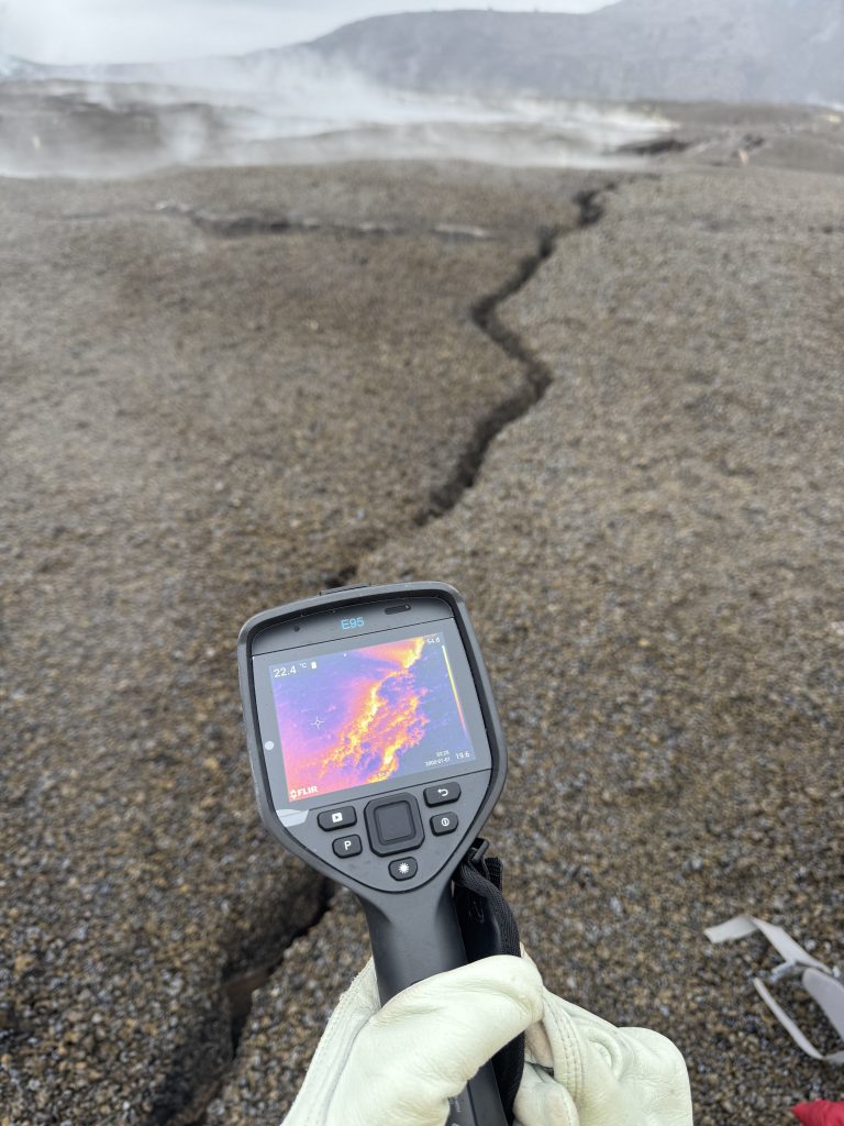
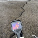
 Some of the new cracks that formed on Kīlauea caldera floor between Sept. 30 and Oct. 1, 2026, were steaming and warm, at about 140 degrees when they were measured by thermal camera Oct. 6, 2026. This area has been covered in warm, steaming cracks for decades; however, there was no sign of magmatic gas associated with the recent intrusive activity. (M.Patrick/U.S. Geological Survey)
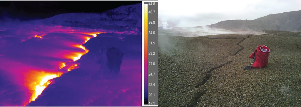
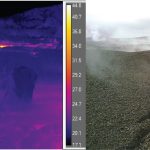
- A comparison of a thermal image and visual image of new cracking in the north caldera at Kīlauea summit. The bands of higher ground temperatures extend to the left of the crack because the warm steam is carried southwest by the tradewinds. The maximum observed temperatures in these cracks is about 140 degrees. (M.Patrick/U.S. Geological Survey)
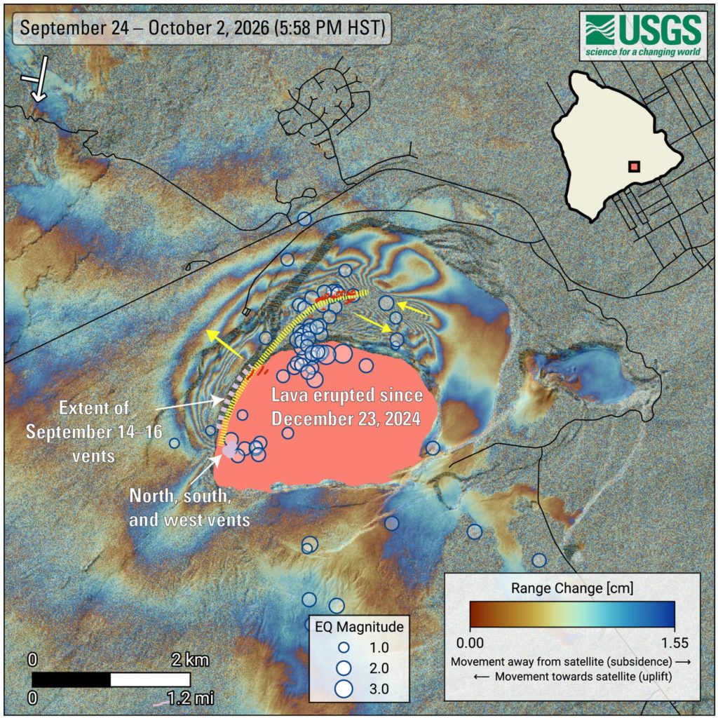
- COSMO-SkyMed Second Generation (CSG) interferogram showing deformation of the ground surface around the summit of Kīlauea volcano from Sept. 24 to Oct. 2, 2026. Blue circles mark earthquakes, with larger circles representing stronger earthquakes. Most quakes happened between Sept. 30 and October 1. The yellow dotted line and arrows show the main path of the underground magma intrusion and relative ground surface motion, respectively. New cracks are shown in red. The symbol in the upper-left corner shows the satellite’s flight direction with an arrow and its viewing direction with a bar. The pink polygon represents lava flows covering the crater floor. Main vents are shown as light purple circles, while the extent of vents and fissures that opened between Sept, 14 and 16, 2026, is shown as a light purple dashed line. Roads are shown in black. (Courtesy Graphic: ASI, Agenzia Spaziale Italiana)
Visitors are required to stay out of closed areas and away from cliff edges, which are unstable and can collapse without warning.
Kīlauea’s current volcano alert level is watch, with its aviation color code holding at orange.
Read the latest Kīlauea status report from Oct. 7 at the Hawaiian Volcano Observatory website.







