

UPDATE: High wind, winter weather warning issued for Big Island summits
Update at 3 p.m. March 12: A high wind warning is in effect for Big Island summits until 6 p.m. on Sunday.
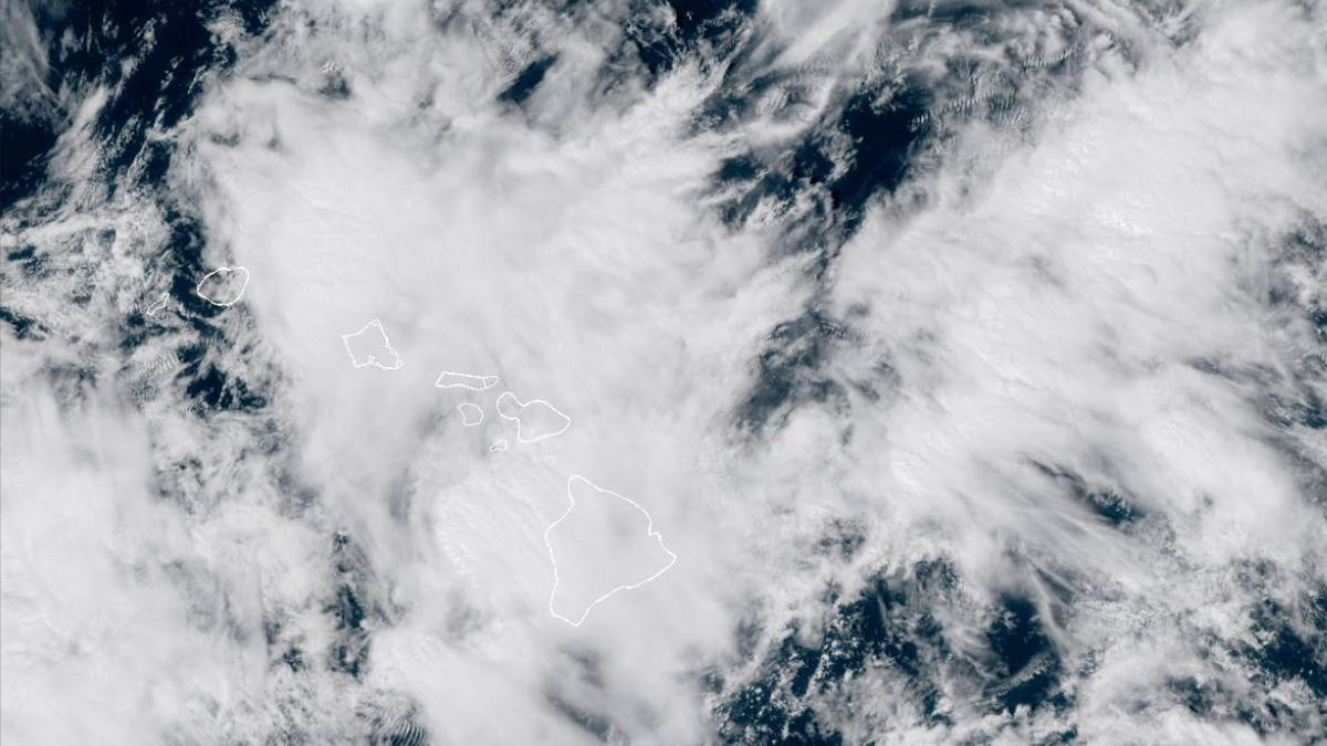
Southwest winds reaching 55 to 75 miles per hour with gusts up to 110 miles per hour are expected for the summits of Mauna Kea and Mauna Loa beginning at 6 p.m. Thursday.
Winds this strong can make driving and walking dangerous. The winds can forcefully open doors and damage hinges or slam doors shut, possibly causing injuries.
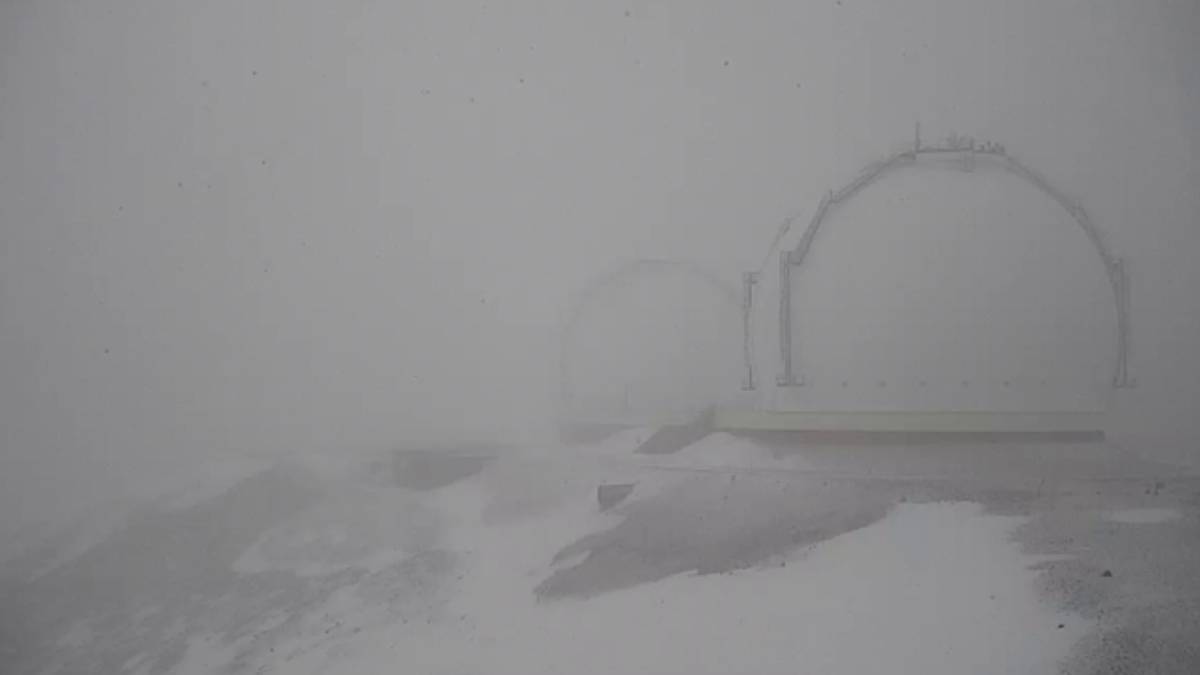
The National Weather Service has also issued a winter weather warning for Big Island summits above 12,000 feet. Blizzard conditions are possible with total snow accumulation of 12 to 18 inches.
A winter storm warning means significant amounts of snow, sleet, and ice are expected or occurring until 6 p.m. on Saturday.
Travel will be hazardous or impossible with blowing snow significantly reducing visibility at times, with periods of zero visibility. Any travel plans to the summits should be postponed until the threat diminishes.
Update at 1:45 p.m. March 12: Conditions are favorable for flooding and possible for all of Hawaiʻi Island through Saturday.
Residents in flood-prone areas should be prepared for heavy rain and potential flooding. If lightning threatens your area, the safest place to be is indoors.
Road closures may occur without notice, so do not attempt to cross flowing water in a vehicle or on foot.
The National Weather Service in Honolulu has issued a special marine warning for the ʻAlenuihāhā Channel and leeward waters from ʻUpolu Point to South Kona through this afternoon.
A special marine warning indicates severe thunderstorms with winds exceeding 50 knots are occurring offshore. Boaters should take precautions to avoid these conditions.
Radar indicated that severe thunderstorms were located 35 nautical miles west of FAD Buoy F, or 47 nautical miles west of Kahaluʻu-Keauhou, moving northeast at 20 knots.
Boats could suffer significant structural damage in high winds. Small craft could capsize in suddenly higher waves.
Locations impacted include Honokōhau Harbor, ʻUpolu Point, FAD Buoy OT, FAD Buoy C, Keāhole Point, FAD Buoy XX, FAD Buoy UU, and FAD Buoy ZZ.
Update at 8:36 p.m. March 11: National Weather Service forecasters in Honolulu have issued a winter weather advisory in effect from 9 p.m. today (March 11) to 6 p.m. Thursday (March 12) for Big Island summits of Mauna Kea and Mauna Loa above 12,000 feet.
More than a foot of snow — possibly close to 2 feet — is now forecast on both summits. Original forecasts called for only up to 8 inches of the white stuff.
The advisory is a precursor to the winter storm watch that remains in effect from 6 p.m. Thursday through 6 p.m. Saturday (March 14) for the summits above the same level.
A powerful kona low located northwest of the state will bring periods of heavy snow, thunderstorms and strong winds Thursday night through Saturday. Freezing fog and light snow flurries are possible through Thursday afternoon at the summits.
Snow flurries and freezing fog will create slick icy road conditions with possible blizzard conditions moving in later. Visibilities are forecast to fall below a 1/4 of a mile because of falling and blowing snow.
Total snow accumulation of 12 to 18 inches is possible on both summits throughout the duration of the winter weather, with winds potentially gusting as high as 110 mph.
A winter weather advisory means periods of snow, sleet or ice will make travel difficult, causing slippery roads and limited visibilities. Motorists are advised to use caution if they must travel to the summits.
Meanwhile, a winter storm watch means there is a potential for significant snow, sleet or ice accumulations that could impact travel.
The public is advised to continue to monitor the latest forecasts.
Story originally posted at 7:21 a.m. March 11: National Weather Service forecasters has issued a winter storm watch that will be in effect from 6 p.m. Thursday (March 12) to 6 p.m. Saturday (March 14) for above the Big Island summits of Mauna Kea and Mauna Loa above 12,000 feet.
A powerful Kona low storm located northwest of the state will bring periods of heavy snow, thunderstorms and strong winds Thursday night through Saturday to the island and summits.
Heavy snow is forecast atop both mountains, with total snow accumulations up to 8 inches possible.
A winter storm watch means there is potential for significant snow or ice accumulations that can impact the summits.
Anyone planning travel to the summits, including hikers and campers, should monitor the latest weather forecasts and consider postponing their trip until weather conditions improve.
Travel could be very difficult to impossible. Blowing snow will significantly reduce visibility at times, including periods of zero visibility.
Sponsored Content


