


Hawaiʻi County, state urge preparation ahead of impending inclement weather
Hawai‘i County and state emergency management officials urge residents and visitors alike to be storm ready before the arrival of expected inclement weather this weekend and into early next week that could bring heavy rainfall, flooding and strong, gusty winds to parts of the Big Island.
Forecasters at the National Weather Service office in Honolulu indicate the greatest chance of heavy rain is expected along the Hāmākua Coast on the windward side of the island.
North and South Hilo plus Puna also could see drenching rainfall.
Strong and gusty trade winds are forecast to move in late Sunday and Monday, especially affecting downslope areas and other places where terrain funnels the wind, such as Kohala, South Point and the saddle region between Mauna Kea and Mauna Loa.
“The public should be ready for what this storm could bring,” said Hawai‘i County Mayor Kimo Alameda in a Friday (Feb. 6) afternoon press release. “Take time before the system arrives to check your property and be prepared.”
Weather conditions are forecast to be bad enough throughout the next several days that Hawai‘i Gov. Josh Green on Friday issued a pre-emptive emergency proclamation for the storm event.
National Weather Service issued a statewide flood watch that will be in effect from noon Saturday (Feb. 7) through the afternoon of Feb. 9.
“The front will stall over Maui County this weekend, allowing deep tropical moisture to pool over the island chain,” said the forecast service when issuing the flood watch Friday. “This — in combination with a disturbance aloft moving over the state — will bring the potential for heavy rainfall, a few thunderstorms and flash flooding.”
The soil is relatively dry around Hawai‘i Island, allowing light rainfall to soak in quickly.
The approaching winter storm, however, could generate locally heavy rain, potentially causing flash flooding in low-lying areas and drainages.
Wind and rain also can make travel hazardous on a weekend with many planned events, including Waimea Cherry Blossom Heritage Festival today in Waimea and Super Bowl parties Sunday around the island.
“The county has already started coordinating preparations ahead of the storm, and we’ll update the public as conditions change,” said Hawai‘i County Civil Defense Administrator Talmadge Magno in the county release.
Now is a great time to sign up for emergency alerts, if you haven’t already, at the Civil Defense website to receive weather-related updates on your cellphone.

Facility impacts
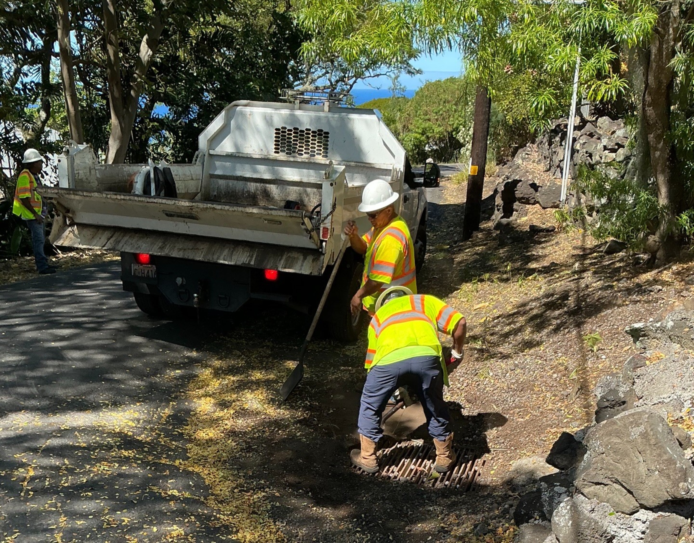
Hawai‘i County Parks and Recreation — as a result of the incoming storm threat — canceled camping permits and day-use pavilion permits for Sunday at Spencer Park at ʻŌhai’ula Beach in Waikui in Kohala and Laupāhoehoe Point Beach Park in Laupāhoehoe on the east side of the island.
Camping permits at Gilbert Kahele Recreation Area in the saddle region also were canceled for Sunday.
General safety information
- Consider changing or delaying travel plans and outdoor activities during inclement weather, including routes with low-lying areas prone to flooding.
- Know the areas prone to flooding, especially near your home, and use extra caution around them. Heavy rainfall uphill from your location can cause flooding, even if it’s not raining where you are.
- Never try to cross moving water, on foot or in a vehicle: Turn around, don’t drown.
- Monitor forecasts from reliable sources for the latest information about the storm and its potential hazards.
- The safest place to be is indoors if lightning threatens. If you’re in a vehicle, stay in the vehicle but pull off the road if rain is dangerously heavy and it is safe to pull over.
- Have a “go bag” ready in case you must evacuate the area, especially if your home is in an area prone to flooding. Your “go bag” should include food, water, necessary medication, important documents and other necessities for the members of your household — including pets — if you need to leave in a hurry.
- Check in with neighbors, especially those with mobility problems, to make sure they have a safe way to evacuate if flooding strikes.
Stay informed
The county will provide updates as conditions evolve. Residents can sign up for updates from Civil Defense to receive emergency notifications.
View the Hawai‘i County Hazard Impact Map here.
State emergency management officials weigh in
Hawaiʻi Emergency Management Agency echoed the county’s message of preparedness ahead of the storm, with the most dangerous weather expected the evening of Feb. 8, which is Super Bowl Sunday, and into the day Feb. 9.
National Weather Service forecasters in Honolulu warn that impacts to all islands could include power outages, wind-borne debris, downed tree limbs, uprooting of weaker trees, flooding of streams and roads as well as difficulty driving.
County and state officials advised that people in all areas of the islands should have at least started preparing Friday for anticipated hazards.
Additional preparation and safety advice from the state
- Make sure you are receiving local emergency alerts about severe weather developments in your area. Sign up online.
- Prepare for power outages. Consider how you will operate without electricity, including communicating, getting information, operating medical devices, storing food and cooking.
- Have a plan in case of emergencies. Know a safe place to go — such as a friend or relative’s home — in case you lose power or need to get away from flash flooding in your area.
- Check your home’s stock of emergency supplies. You could lose running water if your electricity is shut off. Have drinking water ready, plus shelf-stable food that is ready to eat, a radio and flashlight with extra batteries, cellphone batteries, personal hygiene supplies, pet food and first aid. You can find a supply list online.
- Prepare your property for high winds and heavy rain. Pick up loose objects that could be blown about, move or secure outdoor furniture and grills, remove weak or dead tree limbs, secure gutters and shutters, clear drains and gutters to ensure drainage, check your sump pump for operability and move valuable objects to higher ground in case of floods.
- Be extremely cautious during heavy rainfall. Flash floods are a serious threat can be deadly in Hawaiʻi. Stay away from streams, ravines, valleys and river mouths. Do not hike; terrain will be unstable and prone to landslides. Be aware that paved streets will funnel floodwaters; do not enter or drive through floodwaters.
- Don’t swim after a flash flood. Contaminated brown water can run off into the ocean or swimming pools.
Click here to sign up for free state cellphone alerts, follow official state and county social media and tune in to your local emergency radio stations.
Visit the Hawaiʻi Emergency Management Agency website for additional information about preparing for flash flooding.
Find detailed forecast information and the latest weather updates at the National Weather Service Honolulu forecast office website.
Sponsored Content


