

UPDATE: Wind advisory again extended for North Hawai’i, parts of Kaʻū and Puna
Update at 4:32 a.m. Aug. 3, 2025: National Weather Service forecasters in Honolulu have again extended the wind advisory as blustery trade winds continue to blow across portions of the Big Island.
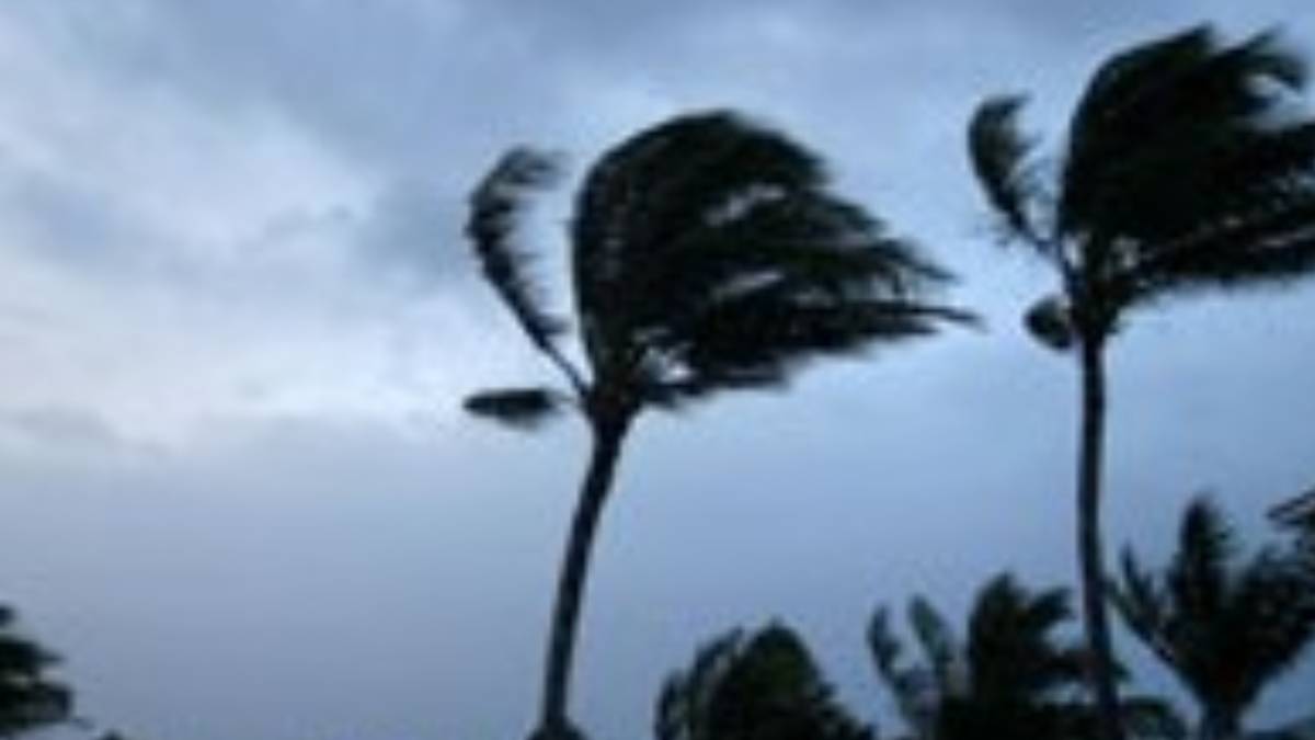
The advisory is now in effect until 6 p.m. today for North and South Kohala as well as northern and interior portions of North Kona and Hāmākua along with south and southeasten portions of Kaʻū and Puna, with sustained winds of 20 to 30 mph expected and gusts up to 50 mph.
Those in the advisory areas are reminded to watch out for falling tree branches when walking or driving, make sure tents and awnings are secured or taken down and be prepared for power outages.
Also, use extra caution when driving, especially if you’re operating a high-profile vehicle, and secure all outdoor objects.
Get the latest weather forecasts and information about any advisories, watches or warnings in effect for your community at the National Weather Service website.
Update at 5:12 p.m. Aug. 2, 2025: Trades are still blustery across parts of the Big Island and have picked up speed after calming down for a bit in others, so forecasters in Honolulu again extended a wind advisory until 6 a.m. Aug. 3 for North Hawaiʻi and added back in portions of south and southeastern areas of the island.
East winds of 15 to 25 mph, with gusts up to 50 mph, are expected to continue in North and South Kohala as well as northern and interior portions of North Kona and Hāmākua.
Meanwhile, after getting a break from windy conditions for about a day as trades fell to below advisory levels after about 3:30 p.m. Aug. 1, northeast winds have increased once more across south and southeastern areas of the island and are expected to be sustained at 20 to 30 mph, with gusts up to 50 mph, in parts of Kaʻū and Puna.
Remember: Winds this strong can tear off shingles, knock down tree branches, blow away tents and awnings and make it difficult to steer, especially for drivers of high-profile vehicles.
The public is advised to watch out for falling tree branches when walking or driving. Make sure tents and awnings are secured or taked down. Also, be prepared for power outages.
A red flag warning for leeward and interior sections of the Big Island also was extended until 6 p.m. Sunday as dry and windy conditions persist, continuing critical fire weather conditions and the danger of wildfires.
Update at 9:42 a.m. Aug. 2, 2025: Surf fell below advisory levels early this morning along south-facing shorelines of the island, prompting forecasters at the National Weather Service in Honolulu to cancel the high surf advisory that previously had been extended through today.
Surf along those shorelines in South Kona, Kaʻū and Puna will continue to decline throughout today.
Meanwhile, a wind advisory continues until 6 p.m. today for North and South Kohala as well as northern and interior portions of North Kona and Hāmākua as blustery northeast to east trade winds at 20 to 30 mph, with gusts up to 50 mph, persist.
And a combination of strong winds and low relative humidity in many of the same areas as the wind advisory also led forecasters in Honolulu to extend a red flag warning until 6 p.m. today for leeward areas — particularly portions of North and South Kohala, North and South Kona, Kaʻū, Puna and other interior locations of the Big Island — because of a continued danger for wildfires.
Update at 8:17 p.m. Aug. 1, 2025: Blustery northeast to east trade winds at 20 to 30 mph, with gusts up to 50 mph, are expected to continue into the first part of the weekend for northern parts of the Big Island.
As a result, forecasters at the National Weather Service office in Honolulu have extended until 6 p.m. Aug. 2 a wind advisory for North and South Kohala as well as northern and interior portions of North Kona and Hāmākua.
Remember: Winds this strong can tear off shingles, knock down tree branches, blow away tents and awnings and make it difficult to steer, especially for drivers of high-profile vehicles.
The public is advised to watch out for falling tree branches when walking or driving and to make sure tents and awnings are secured or taken down.
Also, be prepared for power outages.
It’s a different story on the opposite end of the Big Island, where windy to breezy conditions are also often the norm.
Winds were also previously expected to howl over areas on the southern side of the island until about 6 p.m. Aug. 1; however, forecasters lifted the wind advisory for portions of Kaʻū and Puna early, just before 3:30 p.m., after winds fell below advisory levels.
A combination of strong winds and low relative humidity in many of the same areas as the wind advisory also led forecasters in Honolulu to extend a red flag warning in effect for portions of North and South Kohala, North and South Kona, Kaʻū, Puna and other interior locations of the Big Island through Saturday as there is a continued risk of wildfire ignition.
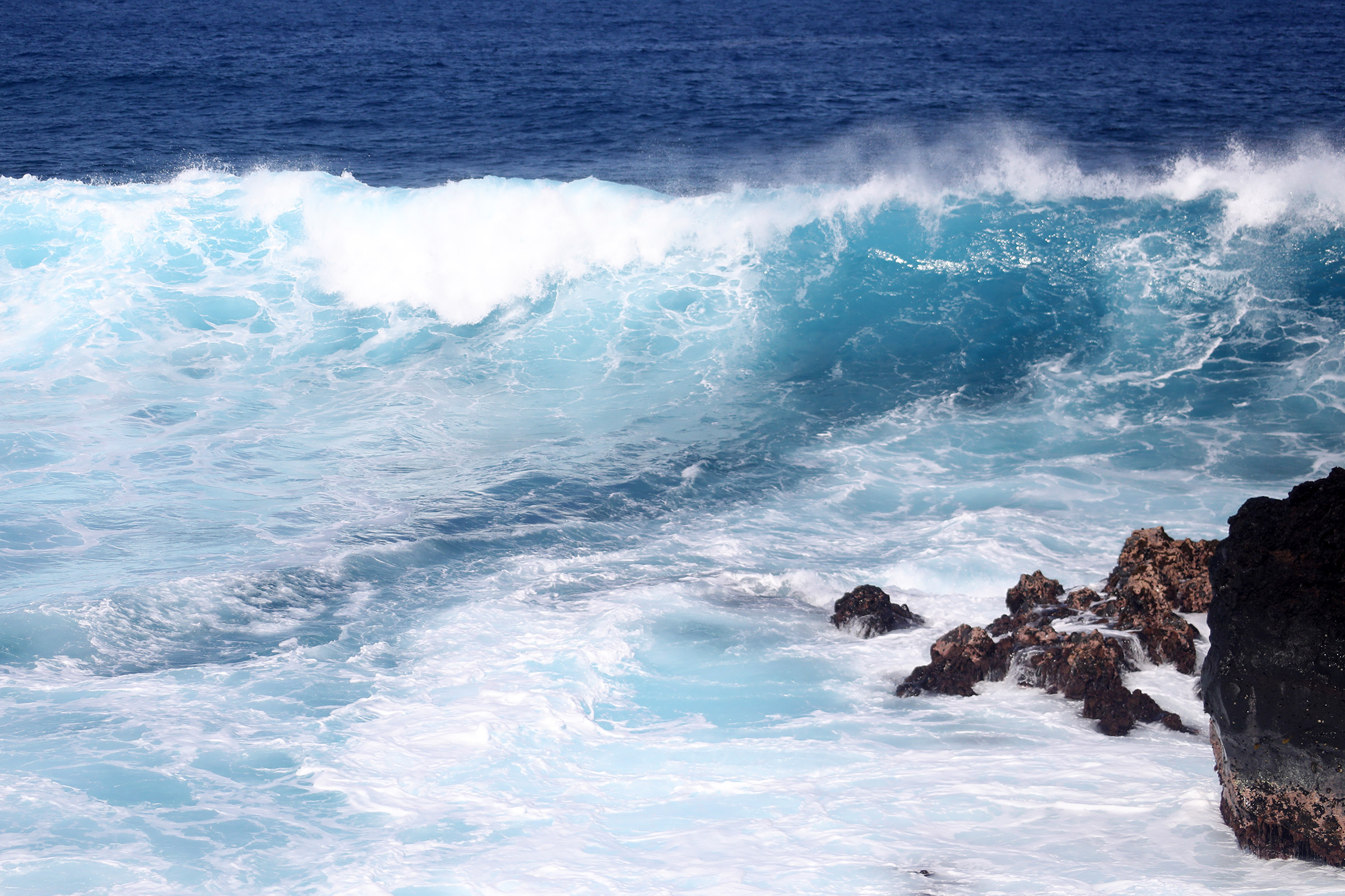
Update at 9:18 a.m. Aug. 1, 2025: A high surf advisory is in now effect for all south-facing shores until 6 a.m. Saturday after National Weather Service forecasters in Honolulu extended an advisory originally issued early the morning of July 31.
Surf of 10 to 14 feet can be expected through this afternoon and then begn to fall to 8 to 12 feet this evening through tonight.
Strong breaking waves and strong currents will make swimming dangerous.
The public is advised to proceed with caution and heed all advice from ocean safety officials.
Original post at 5:27 a.m. July 31, 2025: A long-period south swell will build to advisory levels today, with forecasters expecting it to peak near warning levels. Meanwhile, a series of tropical cyclones passing well south of the state will help increase trade wind speeds during the next couple of days.
The National Weather Service forecast office in Honolulu issued a high surf advisory for south-facing shores of the Big Island in response to the building swell — specifically for South Kona, Kaʻū and Puna — in effect until 6 p.m. Aug. 1.
Forecasters also issued a wind advisory in effect until 6 p.m. Aug. 1 for North Kohala, South Kohala and portions of Hāmākua, Puna, Kaʻū and North Kona because of the expected breezy to windy trade wind conditions.
Surf will build to 10 to 14 feet by this afternoon along south-facing shores in South Kona, Kaʻū and Puna, accompanied by strong breaking waves and strong currents that will make swimming dangerous.
The public is advised to heed all advice from ocean safety officials, and always remember: when in doubt, don’t go out.
Trades from the northeast are forecast at a sustained 20 to 35 mph, with gusts up to 50 mph, in the island’s typically windiest areas of North Kohala, South Kohala and portions of Hāmākua, Puna, Kaʻū and North Kona.
Winds this strong can tear off shingles, knock down tree branches, blow away tents and awnings and make it difficult to steer, especially for drivers of high-profile vehicles.
The public is advised to watch out for falling tree branches when walking or driving. Be sure to secure all tents and awnings or take them down and be prepared for possible power outages.
Hawaiʻi County Civil Defense also reminds residents to take the necessary precautions to prepare for the high wind advisory, drive with caution and be aware of any debris, including downed trees and utility lines.
Stay clear of downed utility lines and report all hazards to authorities.
National Weather Service forecaters in Honolulu said in their 3:56 a.m. area forecast discussion for the state today that surface high pressure far north of the state continues to interact with a series of tropical cyclones passing well south of the state, tightening the local pressure gradient.
That will cause trades to increase in speed, bringing breezy to locally windy conditions during the next couple of days.
As the tropical cyclones weaken and move farther away early next week, the local pressure gradient might relax some, allowing trades to ease slightly. However, other than a slight decrease in wind speeds, typical trade wind weather should continue through Tuesday.
Long-period forerunners from the south swell event have already begun to show up at local nearshore buoys.
This swell will continue to build in throughout the island chain through this afternoon, peak late today through Friday and then slowly lower thereafter.
This first south swell event will be followed by another long-period south swell early next week, so the high surf advisory might need to be extended or even upgraded depending on buoy observations toward this swell’s peak.
Get the latest weather forecasts and information about any advisories, watches or warnings in effect for your community at the National Weather Service website.
Sponsored Content


