

Flash flood warning continues for south, southeastern portions of Big Island now until 1 a.m. Saturday

- Brown water advisory issued for entire island as Kona Low continues to produce heavy rainfall leading to stormwater runoff
- Flood watch also still in effect for entire state
- Big Island summits getting a winter storm
- High surf advisory remains in effect for east-facing shores
- Another round of unstable showers might develop by Tuesday to Wednesday next week
This story was updated at 10:03 p.m. Friday, Feb. 17.
The flash flood warning in effect for south and southeastern portions of the Big Island will continue into Saturday as the National Weather Service has again issued an extension, this time until 1 a.m., because of excessive rainfall.
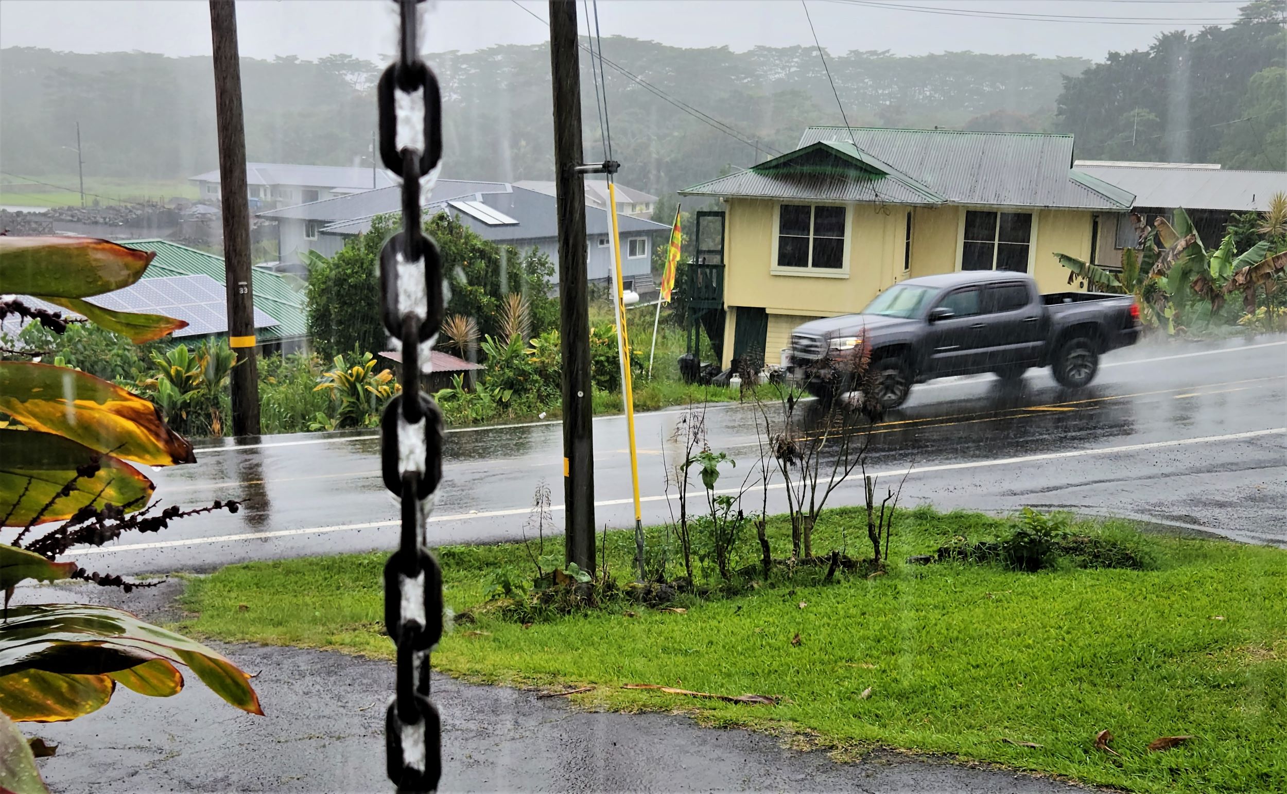
At 9:46 p.m., radar showed heavy showers repeatedly forming over the slopes of Kaʻū and Puna, with rainfall rates between 1 and 2 inches per hour leading to significant runoff. Rainfall over the South Hilo area had eased by earlier in the afternoon.

Some locations that will continue to experience flash flooding include Hawaiʻi Volcanoes National Park, Wood Valley, Volcano, Pāhala, Glenwood, Punaluʻu Beach, Kawa Flats, Mountain View, Nāʻālehu, Hawaiian Acres, Fern Forest, Eden Roc, Fern Acres, Waiʻōhinu and Kurtistown.
Flooding in drainages, streams, rivers, roads, properties and other low-lying areas is possible and likely. Landslides are also possible in steep terrain.
The National Weather Service reported at 8:44 p.m. that unstable tropical moisture just west to southwest of the Hawaiian Islands will keep widespread rainfall, heavy at times, with developing thunderstorms across much of the state into Sunday.
The upper level low several hundred miles from the state is also producing scattered thunderstorms just south of O’ahu and Maui County. Some of these thunderstorms could drift northward into the islands later tonight through Saturday morning with the potential for additional heavy rainfall.
Southeasterly wind flow near the Big Island and Maui has lifted this deep tropical moisture up the southeastern mountain slopes of both islands during the past 24 hours, producing widespread rainfall accumulations of 4 to 8 inches with a few locations showing more than 10 inches.
The low will slowly weaken from Sunday into Monday, with decreasing rainfall trends as more stable trade winds begin to build in from the east.
Another round of unstable showers could develop by Tuesday to Wednesday of next week as another cut off low drops in west of the island chain. Breezy trade winds will herald a return to more stable conditions by next week Thursday.

From Hawaiʻi County Civil Defense:
- Do not attempt to cross flowing water in your vehicle or on foot; turn around, don’t drown.
- There are no beach closures at this time. But beachgoers, swimmers and surfers should heed all advice given by ocean safety officials; when in doubt, don’t go out.
Stay away from streams, rivers, drainage ditches and culverts, even if they are currently dry.
A brown water advisory also has been issued for the Big Island.
The Hawaiʻi Department of Health said heavy rain has resulted in stormwater runoff entering coastal waters. The public is advised to stay out of flood waters and stormwater runoff because of possible overflowing cesspools, sewers, manholes, pesticides, animal fecal matter, dead animals, pathogens, chemicals and associated flood debris.
Not all coastal areas could be impacted by runoff; however, if the water is brown stay out. The Health Department advises to practice good personal hygiene and follow-up with your primary care physician if you have any health concerns.
A flood watch also remains in effect for the entire state through Saturday afternoon as the Kona Low continues to move through the islands.

The summits of Maunakea and Mauna Loa on the Big Island are still under a winter storm warning as well. More than a foot of new snow is expected, along with significant icing and winds gusting to about 40 mph.
Travel to the summits is extremely dangerous, with roads quickly becoming snow covered and icy. Additionally, gusty winds will produce widespread blowing and drifting snow as well as near-zero visibility at times.
And a high surf advisory remains in effect until 6 p.m. Saturday for east-facing shores of Hawaiʻi Island, from Upolu Point in North Kohala through Cape Kumukahi in Puna to South Point in Kaʻū. Surf of 6 to 10 feet is expected, building to 7 to 11 feet tonight and Saturday.
The National Weather Service plans to continue the existing flood watch statewide through Saturday. Depending on how the storm unfolds tonight and Saturday, that watch could be extended into Sunday for a portion of the state.
Click here for everything you need to know about the Kona Low storm as it sweeps over the Big Island. Stay up-to-date on power outages, road closures, public transportation, emergency shelters and more.
Sponsored Content


