

August 22, 2018 Surf Forecast
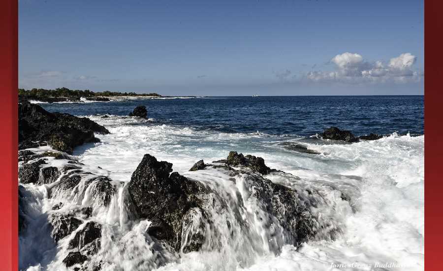
Photo: James Grenz
Swell Summary
Outlook through Tuesday August 28: Choppy surf along east facing shores will gradually increase this week as trade winds strengthen. Most importantly, Hurricane Lane is forecast to pass south and southwest of the islands this week, and is expected to bring rough and extra large surf to south facing shores Thursday and Friday. Be sure to monitor forecast updates on Lane as it could bring significant impacts later this week.
Surf heights are forecast heights of the face, or front, of waves. The surf forecast is based on the significant wave height, the average height of the one third largest waves, at the locations of the largest breakers. Some waves may be more than twice as high as the significant wave height. Expect to encounter rip currents in or near any surf zone.
North East
am ![]()
![]() pm
pm ![]()
![]()
Surf: Chest to head high mix of SE medium period swell and NNW ground swell for the morning. This fades in the afternoon with sets up to shoulder high.
Conditions: Choppy/disorganized with ESE winds 15-20mph.
North West
am ![]()
![]() pm
pm ![]()
![]()
Surf: Ankle to knee high N ground swell.
Conditions: Light sideshore texture in the morning with SSW winds 10-15mph. Sideshore/choppy conditions for the afternoon as the winds increase to 15-20mph. Fairly clean conditions are expected by late afternoon with S winds 5-10mph.
West
am ![]()
![]() pm
pm ![]()
![]()
Surf: Knee high SSE ground swell for the morning with occasional thigh sets. This rotates more SW and builds in the afternoon with sets up to chest high.
Conditions: Light sideshore texture in the morning with SSE winds 5-10mph. Semi glassy/semi bumpy conditions for the afternoon with the winds shifting to the SSW. Glassy conditions are expected by late afternoon with NNE winds less than 5mph.
South East
am ![]()
![]() pm
pm ![]()
![]()
Surf: 1-3′ overhead high SE ground swell for the morning going more SSE during the day.
Conditions: Sideshore texture/chop with NNE winds 10-15mph in the morning shifting ENE for the afternoon.

Image: NOAA

Image: NOAA

Image: NOAA
Image: NOAA

Image: NOAA
**Click directly on the images below to make them larger. Charts include: Hawaii County projected winds, tides, swell direction & period and expected wave heights.**
Data Courtesy of NOAA.gov and SwellInfo.com
Sponsored Content


