

April 10, 2018 Surf Forecast
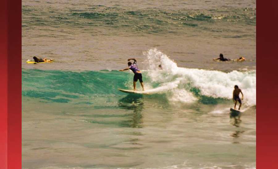
Photo: James Grenz
Swell Summary
Outlook through Monday April 16: The northwest swell will slowly ease Tuesday night through Wednesday. Another smaller northwest swell will bring sub advisory level surf on Thursday. Another large northwest swell is expected to come in on Friday and Saturday. Surf along east facing shores will rise this week and become choppy as trades return. Surf along south facing shores will remain small through Saturday, with a moderate bump up in southerly swell possible Sunday and Monday.
Surf heights are forecast heights of the face, or front, of waves. The surf forecast is based on the significant wave height, the average height of the one third largest waves, at the locations of the largest breakers. Some waves may be more than twice as high as the significant wave height. Expect to encounter rip currents in or near any surf zone.
North East
am ![]()
![]() pm
pm ![]()
![]()
Surf: 1-3′ overhead high NNW ground swell with occasional well overhead high sets.
Conditions: Bumpy/choppy with E winds 10-15mph in the morning shifting SE for the afternoon.
North West
am ![]()
![]() pm
pm ![]()
![]()
Surf: Ankle to knee high NW ground swell.
Conditions: Light sideshore texture in the morning with SSW winds 5-10mph. Sideshore texture/chop conditions for the afternoon with the winds shifting SW 10-15mph. Fairly clean conditions are expected for the late day with S winds 5-10mph.
West
am ![]()
![]() pm
pm ![]()
![]()
Surf: Knee to waist high NW ground swell for the morning with occasional stomach sets. This rotates more SW and builds in the afternoon with sets up to chest high.
Conditions: Glassy in the morning with SSE winds less than 5mph. Semi glassy/semi bumpy conditions for the afternoon with the winds shifting to the S.
South East
am ![]()
![]() pm
pm ![]()
![]()
Surf: Knee to waist high ESE wind swell with occasional stomach high sets.
Conditions: Sideshore texture/chop in the morning with NE winds 10-15mph. Light sideshore texture conditions for the afternoon as the winds lighten to 5-10mph.

Image: NOAA

Image: NOAA

Image: NOAA

Image: NOAA

Image: NOAA
**Click directly on the images below to make them larger. Charts include: Hawaii County projected winds, tides, swell direction & period and expected wave heights.**
Data Courtesy of NOAA.gov and SwellInfo.com
Sponsored Content


