

WNW Continues, Large WNW Builds Soon

Image: James Grenz
Alerts (as of 1:00 a.m.)
Small Craft Advisory for the ʻAlenuihāhā channel and leeward waters through 6 p.m. Tuesday.
**Click directly on the images below to make them larger. Charts include: Big Island projected winds, tides, swell direction & period and expected wave heights.**
 Big Island Surf Forecast
Hilo side: Wave heights are forecast to be head high or more today for the best exposures.
Kona side: Wave heights are expected to be knee/waist high today with waves up to chest high on the sets.
South: Wave heights are expected to be knee/waist high today with waves up to chest high on the sets.
Our current moderate west-northwest swell continues through Wednesday.
 Elevated west-northwest swell is slated to arrive Tuesday night through Wednesday. On Thursday, the swell starts easing. Warning level surf is expected with the WNW swell for most north and west facing shores of the smaller islands starting as early as Tuesday night. The swell is forecast to peak late Wednesday and drop a bit by Thursday night.
Saturday and Saturday night a High Surf Advisory is forecast for east facing shores.
A small southwest swell is forecast for the 22nd through the 24th.
Keep in mind, surf heights are measured on the face of the wave from trough to crest. Heights vary from beach to beach, and at the same beach, from break to break.
**Click here for your detailed Big Island weather report.**

Image: NOAA

Image: NOAA
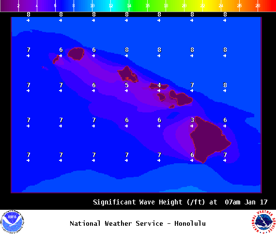
Image: NOAA
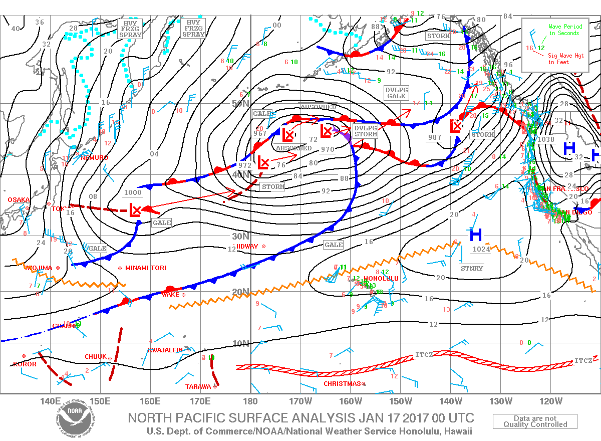
Image: NOAA
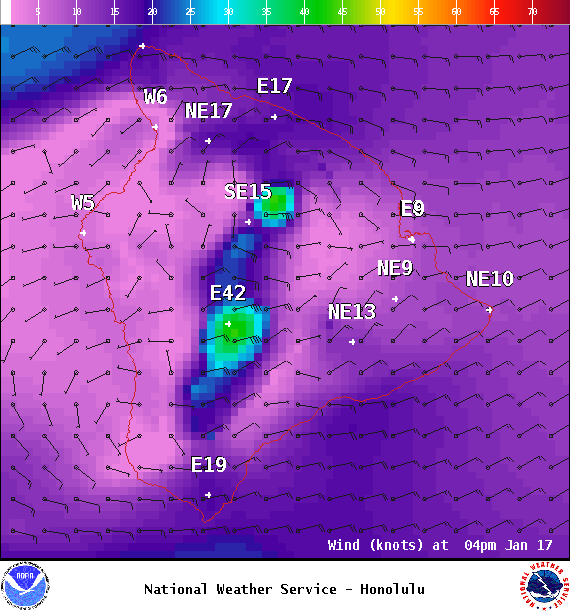
Image: NOAA

Image: NOAA
Sponsored Content


