

NW Swell Builds Today

Image: James Grenz
Alerts (as of 1:00 a.m.)
A Small Craft Advisory is posted for our typically windy channels and coastal waters.
**Click directly on the images below to make them larger. Charts include: Big Island projected winds, tides, swell direction & period and expected wave heights.**
 Big Island Surf Forecast
Hilo side: Wave heights are forecast from knee/shoulder high today.
Kona side: Wave heights are expected to be knee/waist high from wrap out of the northwest. Otherwise, it should be flat.
South: Wave heights are expected to be knee/waist high from wrap out of the northwest. Otherwise, it should be flat out of the south.
 Minimal south-southwest energy this week. Nothing significant is expected, just a small southwest swell for around the 13th.
Our current northwest swell is gradually weakening another northwest swell is expected to build late Tuesday into Wednesday. Knee to waist high sets are expected with this swell for the Kona side. Additional northwest pulses are also on the radar later in the week and through the weekend.
Keep in mind, surf heights are measured on the face of the wave from trough to crest. Heights vary from beach to beach, and at the same beach, from break to break.
**Click here for your detailed Big Island weather report.**

Image: NOAA

Image: NOAA
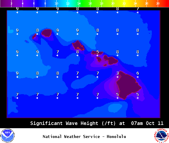
Image: NOAA
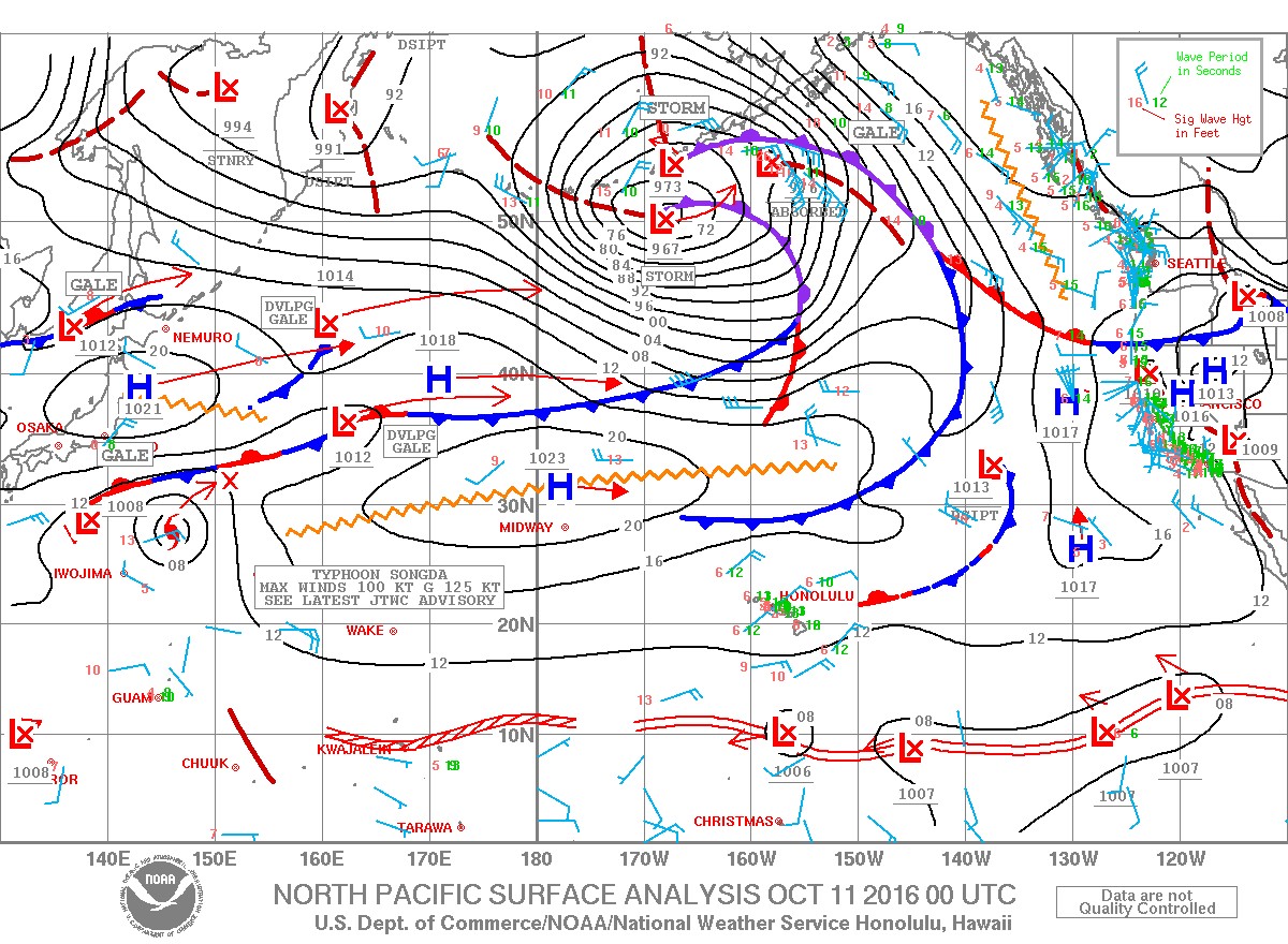
Image: NOAA
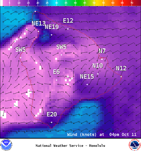
Image: NOAA
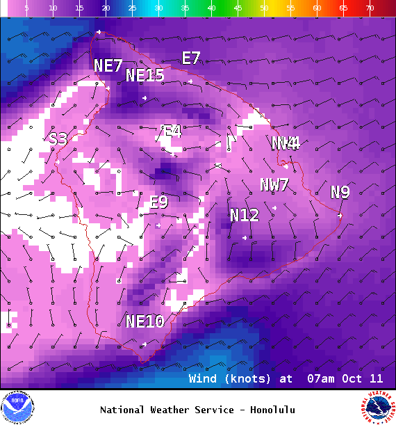
Image: NOAA
Sponsored Content


