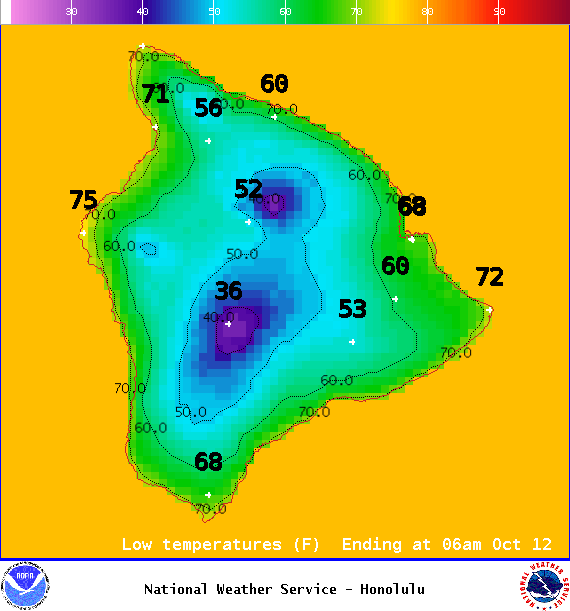
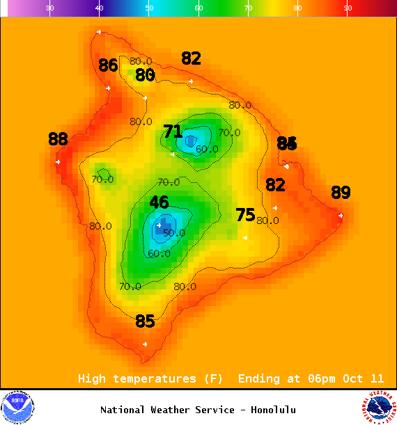
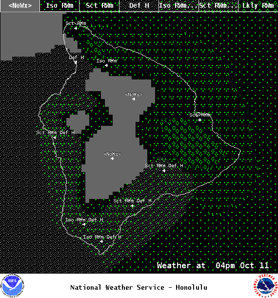
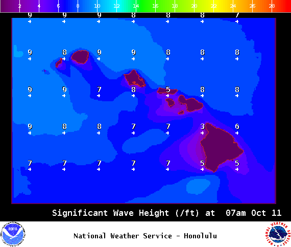
**Click directly on the images below to make them larger. Charts include: Big Island high/low forecasted temperatures, projected winds, chance of cloud cover, projected localized weather conditions, vog/SO2 forecast and expected wave heights.**
+
SWIPE LEFT OR RIGHT
ARTICLE CONTINUES BELOW AD
ARTICLE CONTINUES BELOW AD
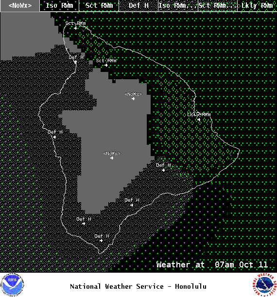
Looking Ahead
The atmosphere will remain stable and trade winds will strengthen behind a weak front. Typical windward focused rainfall is forecast from Tuesday into the weekend.
ARTICLE CONTINUES BELOW AD
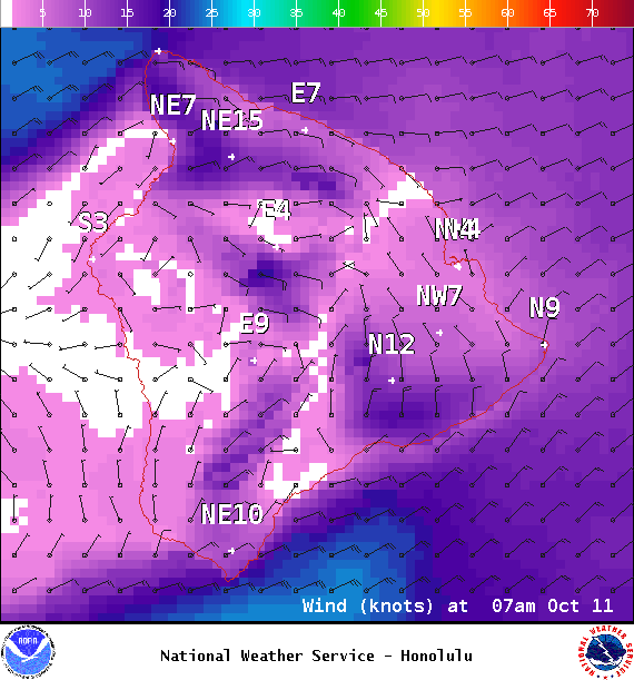
Today
Mostly cloudy with showers likely for windward and mauka areas in the morning and partly cloudy skies with scattered showers in the afternoon. Hazy skies for the Kona side. Sunny in the morning with scattered showers and building clouds in the afternoon. High temperatures from 84° to 89°. Winds will be northeast from 15 to 25 mph.
UV index at 9 (“very high” exposure level)
ARTICLE CONTINUES BELOW AD
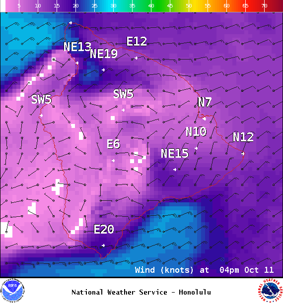
Tonight
Winds will be northeast around 15 to 20 mph with higher gusts. Partly cloudy with scattered windward showers. Kona side should be mostly clear. Low temperatures from 70° to 75°.
This comments section is a public community forum for the purpose of free expression. Although Big Island Now encourages respectful communication only, some content may be considered offensive. Please view at your own discretion. View Comments