

Trade Winds Drop Off Slightly Today

Image: Greg Ruhland / Honolii
Alerts (as of 1:00 a.m.)
A Small Craft Advisory is posted for the ʻAlenuihāhā channel and leeward waters through 6 a.m. Saturday.
**Click directly on the images below to make them larger. Charts include: Big Island high/low forecasted temperatures, projected winds, chance of cloud cover, projected localized weather conditions, vog/SO2 forecast and expected wave heights.**
Looking Ahead
Trade winds are expected to weaken slightly on Saturday. Starting Sunday, trade winds are expected to increase in speed again through the middle of next week. Trade showers will remain focused over the windward sides of the islands through next week. An increase in trade showers is possible over parts of the state around mid-week.
Today
We expect partly to mostly cloudy skies with scattered windward showers during the day. The Kona side will be mostly sunny with isolated showers in the afternoon as clouds build. Hazy areas are expected. Northeast winds are forecast from 10 to 20 mph. High temperatures from 80° to 85°.
UV index at 11 (“extreme” exposure level)
Tonight
Northeast winds are expected around 10 – 20 mph. Mostly cloudy skies are forecast with windward showers likely. For the Kona side mostly cloudy to start with clearing skies as the night goes on. Low temperatures from 69° to 74°.
Our Big Island Now Weather homepage always includes daily: Sunrise | Sunset | Moonrise | Moonset | Moon Phase | Live Weather Cams | 5-day Forecast | Current Temperature & Conditions
**Click here for your detailed Big Island surf report.**

Image: NOAA / NWS

Image: NOAA / NWS

Image: NOAA / NWS

Image: NOAA / NWS

Image: NOAA / NWS
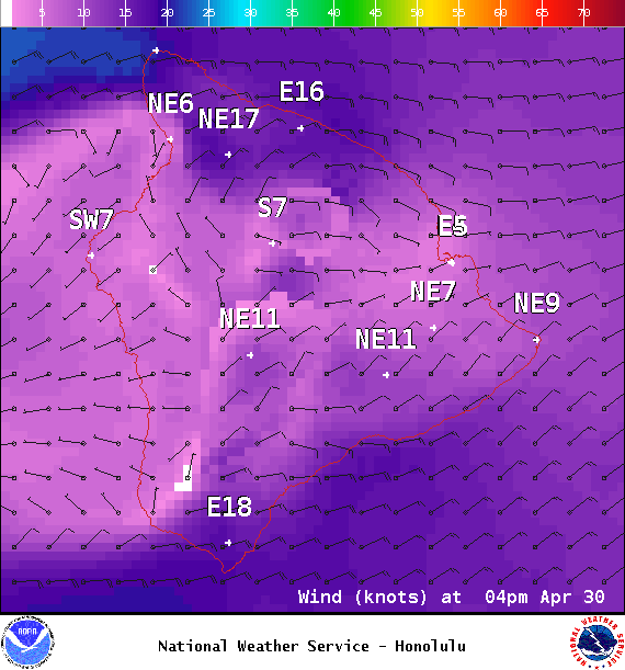
Image: NOAA / NWS
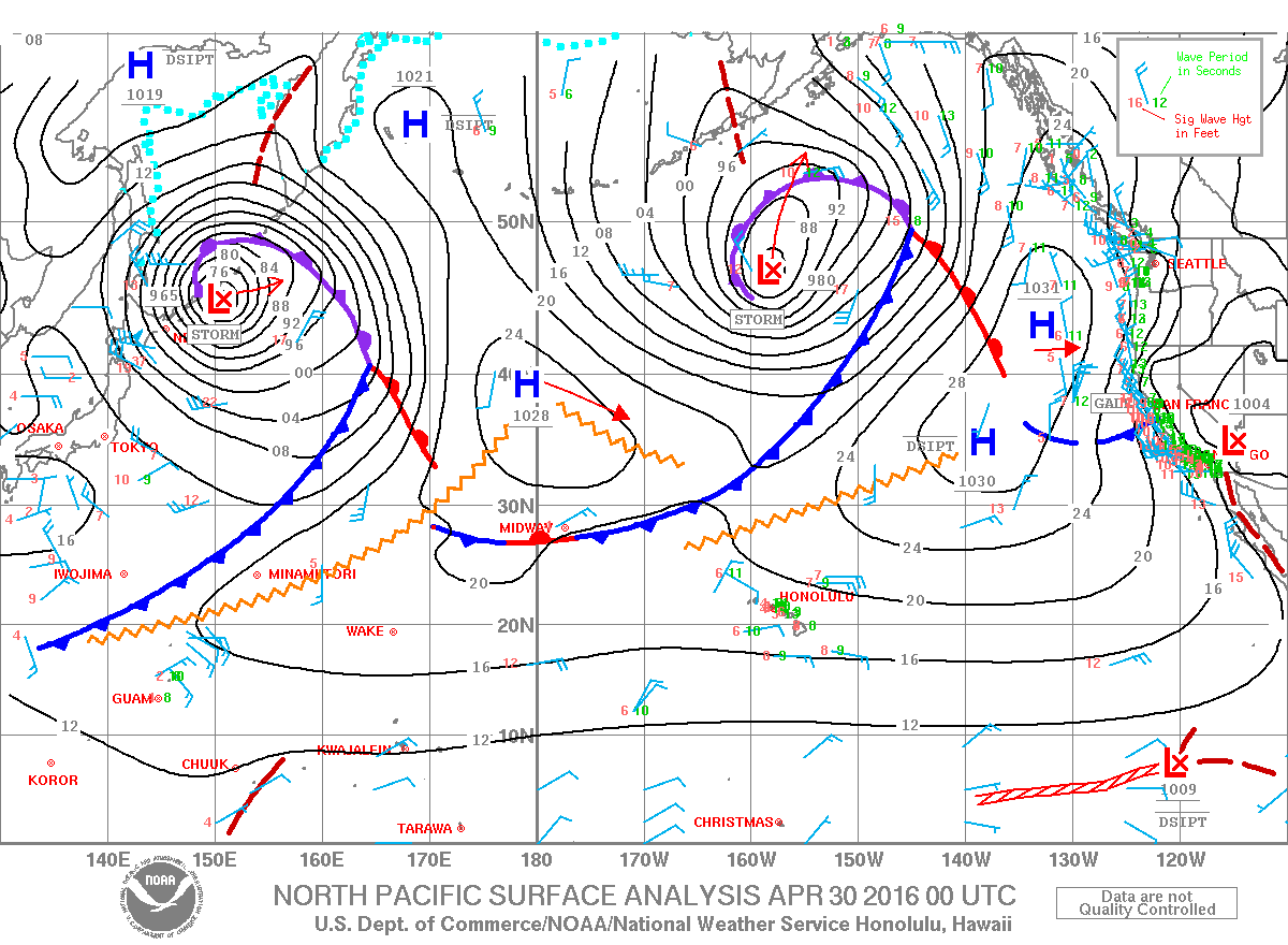
Image: NOAA / NWS
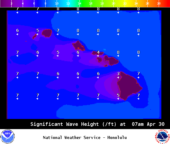
Image: NOAA / NWS
Sponsored Content


