

Big Island Swells Trending Down Today
Alerts
There are no marine alerts posted at this time.
Check our breaking news section for any urgent weather alerts.
**Click directly on the images below to make them larger. Charts include: Big Island projected winds, tides, swell direction & period and expected wave heights.**
 Big Island Surf Forecast
Hilo side: Wave heights are expected knee/waist high today as the swell trends down. Trade swell could get into the waist/chest high range as the day goes on.
Kona side: Wave heights knee/waist high are expected today. The best breaks could get a bit bigger on the sets. Some south-southwest will filter in for spots open to the swell in the knee/waist high range.
South: Breaks open to the south-southwest swell could get up to knee/waist high. The best spots could hit tummy high on the sets.
 Our current west-northwest swell (300° to 320°) is expected to continue on this downward trend getting down to just leftovers by midweek. A small north/northeast should fill in Tuesday into Wednesday but isn’t expected to add much size.
A small south-southwest keeps wave heights around knee/waist high through midweek. Later in the week another pulse of south-southwest is expected to bring knee to shoulder high waves with a slightly bigger swell on its heels for the weekend.
Keep in mind, surf heights are measured on the face of the wave from trough to crest. Heights vary from beach to beach, and at the same beach, from break to break.
**Click here for your detailed Big Island weather report.**
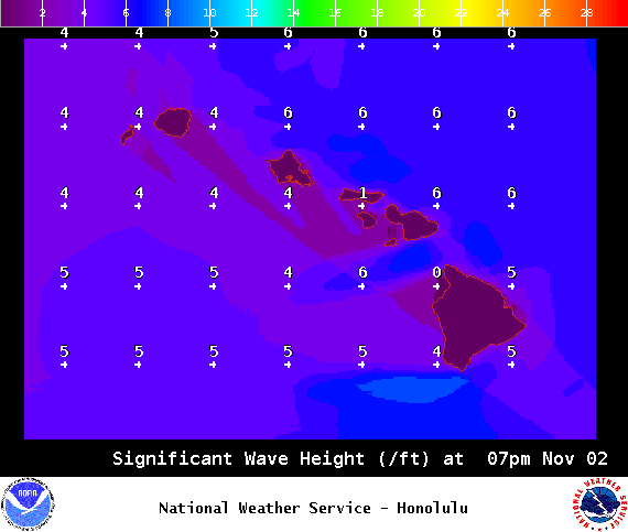
Image: NOAA / NWS

Image: NOAA / NWS

Image: NOAA / NWS

Image: NOAA / NWS
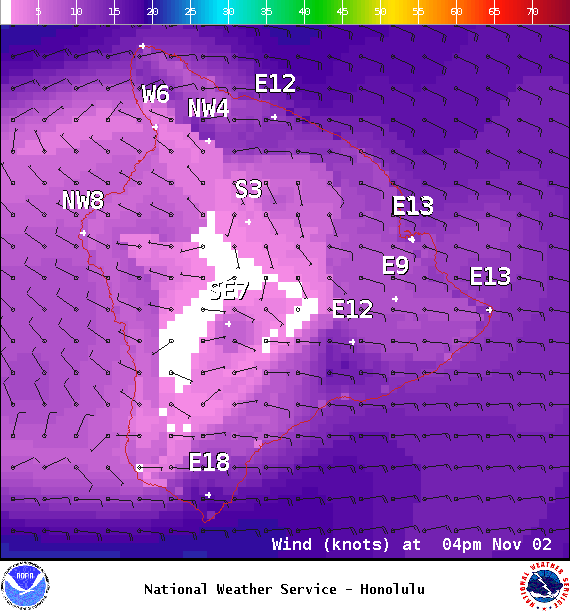
Image: NOAA / NWS
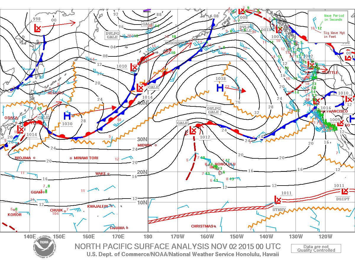
Image: NOAA / NWS
Sponsored Content


