

Guillermo Swell Peaks, New SSW Fills in
Alerts
A High Surf Warning has been issued through 6:00 p.m. Thursday for east-facing shores. Wave heights of 10 to 15 foot faces are expected today and tonight. Expect ocean water occasionally sweeping across portions of beaches. Very strong breaking waves and strong longshore rip currents. Breaking waves may occasionally impact harbors making navigating the harbor channel dangerous.
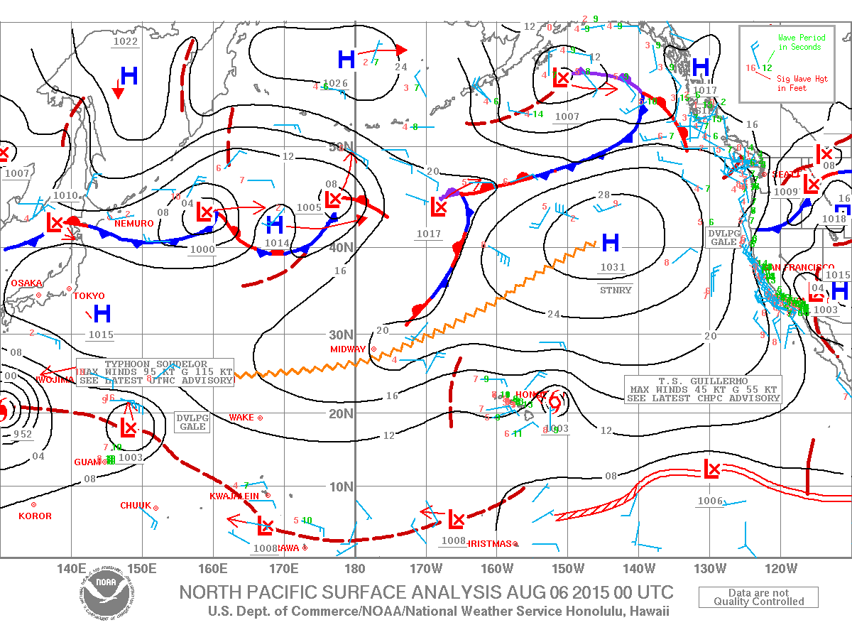
A Tropical Storm Warning is in effect for offshore waters beyond 40 nm and out to 240 nm.
**Click directly on the images below to make them larger. Charts include: Big Island projected winds, tides, swell direction & period and expected wave heights.**
 Big Island Surf Forecast
Hilo side: Overhead waves are expected today. Later in the day we expect the swell to drop off some.
Kona side: Wave heights knee/waist high are expected. Most spots are pretty flat. By sundown small SSW builds bringing occasional belly/chest high waves on the sets.
South: Wave heights waist/chest high are expected for spots catching the Guillermo swell. This swell will fade throughout the day. Some new SSW swell will also mix in.
 Guillermo swell has peaked for the Big Island will begin to drop off Thursday while also shifting out of the NE. Waist/head high leftovers expected Friday.
New south-southwest swell is expected to fill in today and peak on Friday in the chest/shoulder high range at the best breaks open to the swell.
Keep in mind, surf heights are measured on the face of the wave from trough to crest. Heights vary from beach to beach, and at the same beach, from break to break.
**Click here for your detailed Big Island weather report.**
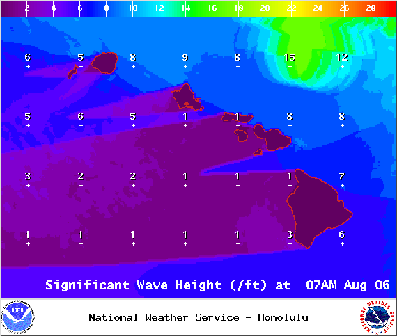
Image: NOAA / NWS

Image: NOAA / NWS

Image: NOAA / NWS
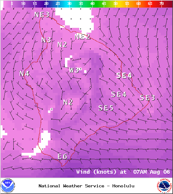
Image: NOAA / NWS
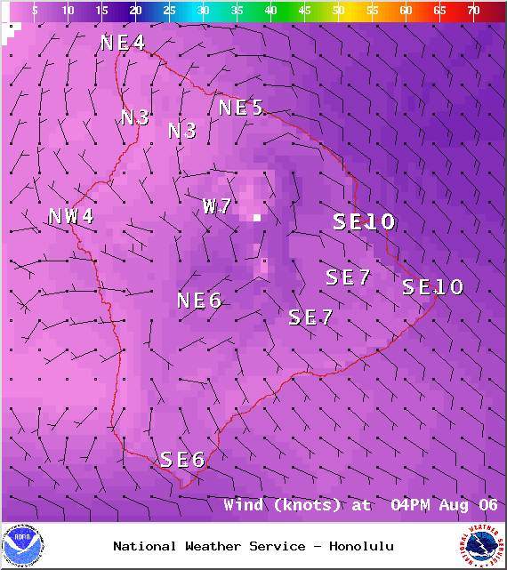
Image: NOAA / NWS
Image; NOAA / NWS
Sponsored Content


