

Hawaii County Surf Forecast for November 22, 2026
Forecast for Big Island Windward and Southeast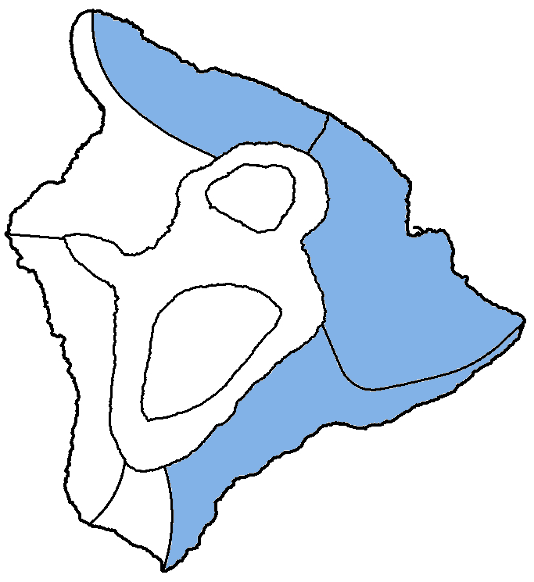
| Shores | Tonight | Sunday | ||
|---|---|---|---|---|
| Surf | Surf | |||
| PM | AM | AM | PM | |
| North Facing | 3-5 | 3-5 | 5-7 | 5-7 |
| East Facing | 5-7 | 4-6 | 4-6 | 4-6 |
| South Facing | 3-5 | 3-5 | 2-4 | 2-4 |
| Weather | Mostly cloudy. Numerous showers. | |||||
|---|---|---|---|---|---|---|
| Low Temperature | In the upper 60s. | |||||
| Winds | Northeast winds around 10 mph. | |||||
|
||||||
| Weather | Partly sunny. Numerous showers. | |||||
|---|---|---|---|---|---|---|
| High Temperature | Around 80. | |||||
| Winds | Northeast winds around 10 mph. | |||||
|
||||||
| Sunrise | 6:32 AM HST. | |||||
| Sunset | 5:40 PM HST. | |||||
Forecast for Big Island Leeward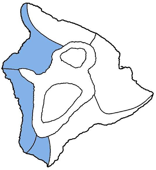
| Shores | Tonight | Sunday | ||
|---|---|---|---|---|
| Surf | Surf | |||
| PM | AM | AM | PM | |
| West Facing | 2-4 | 2-4 | 2-4 | 2-4 |
| South Facing | 3-5 | 3-5 | 2-4 | 2-4 |
| Weather | Sunny. Isolated showers. |
|---|---|
| High Temperature | In the lower 80s. |
| Winds | Light and variable winds, becoming northwest around 5 mph in the afternoon. |
| Sunrise | 6:36 AM HST. |
| Sunset | 5:44 PM HST. |
Swell Summary
Small surf will continue along north- and west-facing shores for the next couple of days followed by much larger swells next week. A small north-northwest will continue a slow rise tonight, peak Sunday, then decline on Monday. A large northwest swell will build on Tuesday and will push surf along north- and west-facing shores above High Surf Advisory thresholds into Wednesday. An extra large northwest swell is expected on Thanksgiving Day. While surf will well exceed High Surf Warning thresholds, northerly winds brought by the front will likely produce rough conditions. This swell will shift more northerly and decline on Friday.
Fresh trade winds will maintain rough surf above seasonal average along east-facing shores into tonight. As trades decline, east shore surf will fall below seasonal average Sunday and will be very small through Wednesday. Fresh to strong northerly winds and wrapping north swell will likely affect eastern shores Thursday and Friday. A small, long-period south swell will fade late Sunday, with another small bump possible late in the week.
NORTH EAST
NORTH WEST
WEST
SOUTH EAST
Data Courtesy of NOAA.gov and SwellInfo.com