


Hawaii County Surf Forecast for November 15, 2026
Forecast for Big Island Windward and Southeast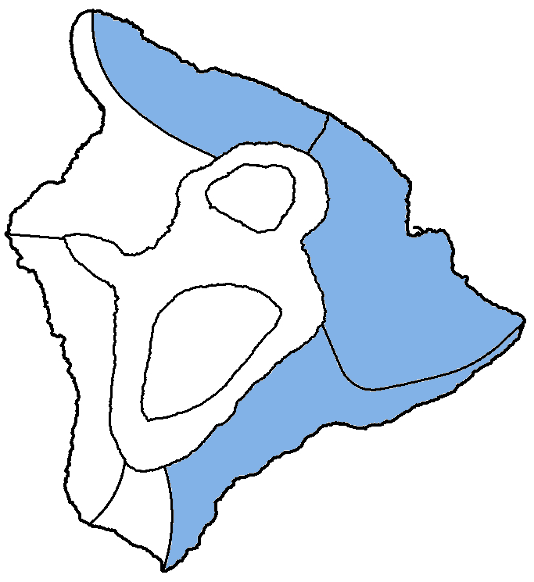
| Shores | Tonight | Sunday | ||
|---|---|---|---|---|
| Surf | Surf | |||
| PM | AM | AM | PM | |
| North Facing | 3-5 | 3-5 | 7-10 | 10-14 |
| East Facing | 4-6 | 5-7 | 5-7 | 6-8 |
| South Facing | 1-3 | 1-3 | 1-3 | 1-3 |
| Weather | Mostly cloudy. Scattered showers. | ||||||
|---|---|---|---|---|---|---|---|
| Low Temperature | In the lower 70s. | ||||||
| Winds | Northeast winds around 10 mph. | ||||||
|
|||||||
| Weather | Partly sunny. Scattered showers. | |||||
|---|---|---|---|---|---|---|
| High Temperature | In the lower 80s. | |||||
| Winds | Northeast winds around 10 mph. | |||||
|
||||||
| Sunrise | 6:28 AM HST. | |||||
| Sunset | 5:41 PM HST. | |||||
Forecast for Big Island Leeward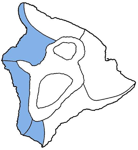
| Shores | Tonight | Sunday | ||
|---|---|---|---|---|
| Surf | Surf | |||
| PM | AM | AM | PM | |
| West Facing | 1-3 | 1-3 | 2-4 | 3-5 |
| South Facing | 1-3 | 1-3 | 1-3 | 1-3 |
| Weather | Mostly sunny. Isolated showers. |
|---|---|
| High Temperature | In the mid 80s. |
| Winds | Light and variable winds, becoming northwest around 5 mph in the afternoon. |
| Sunrise | 6:32 AM HST. |
| Sunset | 5:45 PM HST. |
Swell Summary
A small north-northwest swell will hold through tonight, followed by a moderate, long-period north swell building on Sunday. The north swell (350 to 010 degrees) will produce surf near High Surf Advisory thresholds along north-facing shores, as well as some exposed eastern shores, Sunday afternoon into Monday morning. The north swell will gradually decline late Monday through Wednesday. A tiny pulse of northwest swell will be possible late next week, followed a moderate swell next weekend.
Rough surf along east-facing shores will remain above seasonal average over the next couple of days due to elevated trade wind swell and some wrapping north swell. East shore surf is expected to be around seasonal average Tuesday through the rest of the week. Mainly small background level surf will persist along south- facing shores through much of the week, though a small long-period swell will be possible on Friday.
NORTH EAST
NORTH WEST
WEST
SOUTH EAST
Data Courtesy of NOAA.gov and SwellInfo.com