


Hawaii County Surf Forecast for November 10, 2026
Forecast for Big Island Windward and Southeast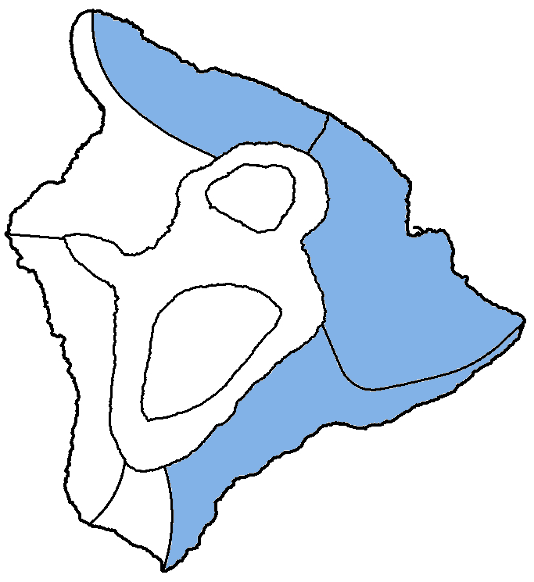
| Shores | Tonight | Tuesday | ||
|---|---|---|---|---|
| Surf | Surf | |||
| PM | AM | AM | PM | |
| North Facing | 4-6 | 4-6 | 4-6 | 3-5 |
| East Facing | 3-5 | 3-5 | 3-5 | 3-5 |
| South Facing | 1-3 | 1-3 | 1-3 | 1-3 |
| Weather | Mostly cloudy. Scattered showers. | ||||||
|---|---|---|---|---|---|---|---|
| Low Temperature | In the lower 70s. | ||||||
| Winds | Northeast winds 5 to 10 mph. | ||||||
|
|||||||
| Weather | Partly sunny. Scattered showers. | |||||
|---|---|---|---|---|---|---|
| High Temperature | In the lower 80s. | |||||
| Winds | Northeast winds 5 to 10 mph. | |||||
|
||||||
| Sunrise | 6:25 AM HST. | |||||
| Sunset | 5:43 PM HST. | |||||
Forecast for Big Island Leeward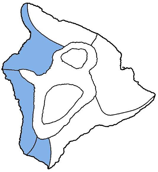
| Shores | Tonight | Tuesday | ||
|---|---|---|---|---|
| Surf | Surf | |||
| PM | AM | AM | PM | |
| West Facing | 2-4 | 2-4 | 2-4 | 2-4 |
| South Facing | 1-3 | 1-3 | 1-3 | 1-3 |
| Weather | Mostly sunny until 12 PM, then mostly cloudy. Isolated showers. |
|---|---|
| Low Temperature | In the upper 60s. |
| Winds | South winds around 5 mph late in the morning, becoming light and variable, then becoming northeast around 5 mph after midnight. |
Swell Summary
Fresh trade winds will continue through Tuesday as a front quickly approaches from the northwest. Trade winds will oveerun this weakening feature and wind speeds will strengthen again Tuesday night. The remnant trough will move in Thursday, spreading clouds and showers across the coastal waters.
A northwest swell will continue through Tuesday night and keep moderate surf in the forecast along north and west facing shores. A much larger northwest to north-northwest swell was generated by a gale force low developing east of Kamchatka. This large north- northwest swell may bring warning level surf heights to exposed north and west facing shores building in through the day on Wednesday, peaking Wednesday night, decreasing to advisory levels on Thursday, and then falling below advisory levels by Friday. A small northwest reinforecement is expected to arrive this weekend.
Surf along east facing shores will decrease as winds taper through Tuesday, but will ramp up again by Wednesday through Friday as wind speeds pick back up. A small south swell will decline through the week.
NORTH EAST
NORTH WEST
WEST
SOUTH EAST
Data Courtesy of NOAA.gov and SwellInfo.com