


Hawaii County Surf Forecast for November 09, 2026
Forecast for Big Island Windward and Southeast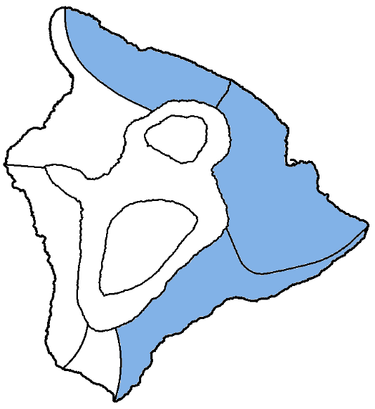
| Shores | Tonight | Monday | ||
|---|---|---|---|---|
| Surf | Surf | |||
| PM | AM | AM | PM | |
| North Facing | 4-6 | 4-6 | 3-5 | 4-6 |
| East Facing | 6-8 | 6-8 | 6-8 | 6-8 |
| South Facing | 3-5 | 3-5 | 3-5 | 3-5 |
| Weather | Mostly cloudy. Scattered showers. | |||||
|---|---|---|---|---|---|---|
| Low Temperature | In the lower 70s. | |||||
| Winds | Northeast winds around 10 mph. | |||||
|
||||||
| Weather | Mostly sunny. Scattered showers. | |||||
|---|---|---|---|---|---|---|
| High Temperature | In the lower 80s. | |||||
| Winds | East winds around 10 mph. | |||||
|
||||||
| Sunrise | 6:25 AM HST. | |||||
| Sunset | 5:43 PM HST. | |||||
Forecast for Big Island Leeward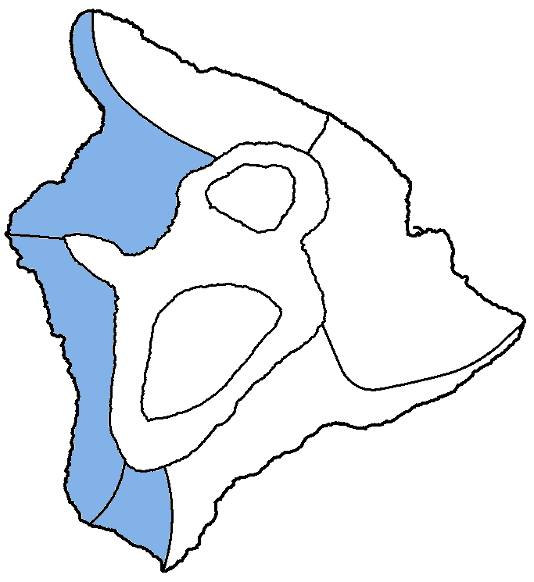
| Shores | Tonight | Monday | ||
|---|---|---|---|---|
| Surf | Surf | |||
| PM | AM | AM | PM | |
| West Facing | 3-5 | 3-5 | 2-4 | 2-4 |
| South Facing | 3-5 | 2-4 | 2-4 | 2-4 |
| Weather | Mostly sunny until 6 PM, then mostly cloudy. Isolated showers. |
|---|---|
| Low Temperature | Around 70. |
| Winds | West winds around 5 mph, becoming southeast after midnight. |
Swell Summary
A medium period swell out of the north-northwest (325 to 350 degree) will hold through the rest of the afternoon before gradually decreasing tonight. Another small to moderate swell fills in Monday night, keeping small to moderate surf in place through Tuesday. A large northwest to north- northwest swell is then forecast to arrive late Wednesday into Thursday and could bring surf near or right at warning levels.
A small south-southwest swell will keep seasonal average surf in place this afternoon before declining Monday through the remainder of the week.
Rough surf along east-facing shores will hold at or above seasonal average tonight and tomorrow. Surf will decrease slightly by Tuesday as trades begin to ease before increasing again by Wednesday.
NORTH EAST
NORTH WEST
WEST
SOUTH EAST
Data Courtesy of NOAA.gov and SwellInfo.com