


Hawaii County Surf Forecast for November 04, 2026
Forecast for Big Island Windward and Southeast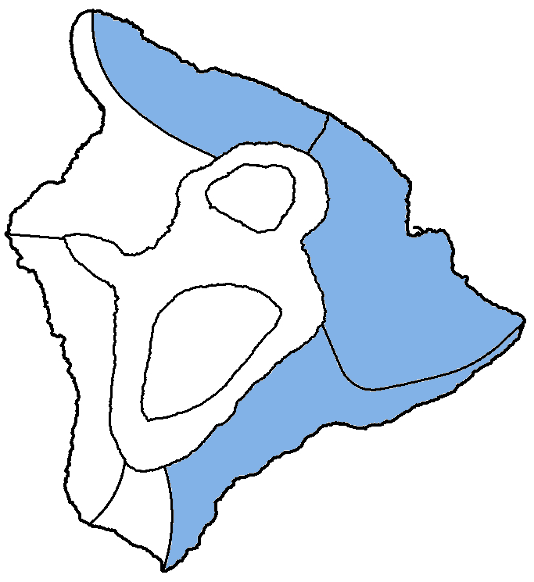
| Shores | Tonight | Wednesday | ||
|---|---|---|---|---|
| Surf | Surf | |||
| PM | AM | AM | PM | |
| North Facing | 7-10 | 6-8 | 6-8 | 5-7 |
| East Facing | 5-7 | 5-7 | 4-6 | 4-6 |
| South Facing | 2-4 | 2-4 | 2-4 | 2-4 |
| Weather | Mostly sunny until 6 PM, then mostly cloudy. Numerous showers. |
||||||
|---|---|---|---|---|---|---|---|
| Low Temperature | Around 70. | ||||||
| Winds | Northeast winds 5 to 10 mph, becoming northwest after midnight. |
||||||
|
|||||||
| Weather | Cloudy. Occasional showers. | ||||
|---|---|---|---|---|---|
| High Temperature | In the lower 80s. | ||||
| Winds | Northeast winds around 10 mph. | ||||
|
|||||
| Sunrise | 6:22 AM HST. | ||||
| Sunset | 5:45 PM HST. | ||||
Forecast for Big Island Leeward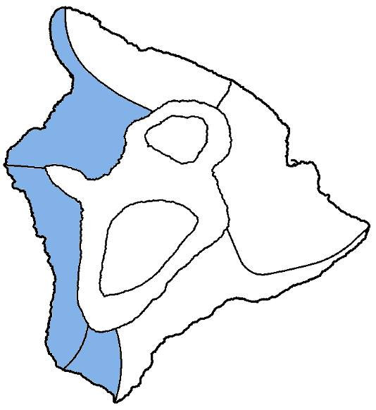
| Shores | Tonight | Wednesday | ||
|---|---|---|---|---|
| Surf | Surf | |||
| PM | AM | AM | PM | |
| West Facing | 1-3 | 1-3 | 1-3 | 1-3 |
| South Facing | 2-4 | 2-4 | 2-4 | 2-4 |
Swell Summary
Surf along north- and west-facing shores will continue to decrease through Wednesday as a moderate, north-northwest swell fades and shifts more northerly, though another small long period north- northwest reinforcement arrives tonight. Another more significant moderate, long-period northwest swell will arrive Wednesday night into Thursday morning and will likely push north and west shore surf back to advisory levels for Thursday into Friday. An additional medium-period swell moderate swell is expected to fill in on Saturday, likely prolonging moderate to large surf action into the weekend.
A tiny long-period reinforcing swell is arriving this evening, but south shore surf will be small to tiny through much of the week with little southerly background energy reaching the islands. East-facing shores will see continued moderate trade wind swell as strong northeast winds remain. Surf along east-facing shores will stay elevated and choppy through much of the week with the trades.
NORTH EAST
NORTH WEST
WEST
SOUTH EAST
Data Courtesy of NOAA.gov and SwellInfo.com