

Hawaii County Surf Forecast for October 27, 2026
Forecast for Big Island Windward and Southeast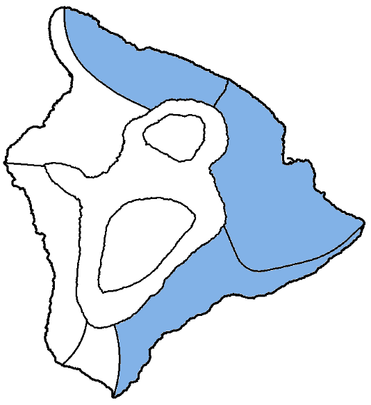
| Shores | Tonight | Tuesday | ||
|---|---|---|---|---|
| Surf | Surf | |||
| PM | AM | AM | PM | |
| North Facing | 4-6 | 4-6 | 4-6 | 4-6 |
| East Facing | 2-4 | 2-4 | 2-4 | 2-4 |
| South Facing | 5-7 | 5-7 | 5-7 | 5-7 |
| Weather | Partly cloudy. Isolated showers. | ||||||
|---|---|---|---|---|---|---|---|
| Low Temperature | In the lower 70s. | ||||||
| Winds | East winds around 5 mph, becoming south after midnight. |
||||||
|
|||||||
| Weather | Partly sunny. Scattered showers. | |||||
|---|---|---|---|---|---|---|
| High Temperature | In the lower 80s. | |||||
| Winds | South winds around 5 mph, becoming east in the afternoon. |
|||||
|
||||||
| Sunrise | 6:19 AM HST. | |||||
| Sunset | 5:49 PM HST. | |||||
Forecast for Big Island Leeward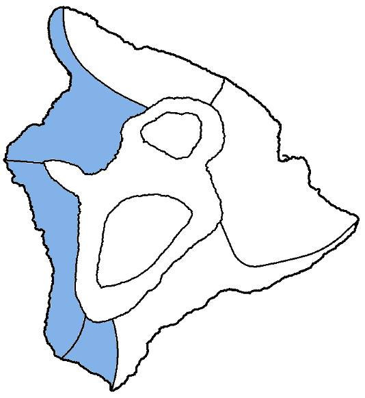
| Shores | Tonight | Tuesday | ||
|---|---|---|---|---|
| Surf | Surf | |||
| PM | AM | AM | PM | |
| West Facing | 2-4 | 2-4 | 2-4 | 2-4 |
| South Facing | 6-8 | 6-8 | 6-8 | 6-8 |
| Weather | Mostly sunny until 6 PM, then mostly cloudy until 12 AM, then partly cloudy. Scattered showers. |
|---|---|
| Low Temperature | In the lower 70s. |
| Winds | West winds around 5 mph early in the afternoon, becoming light and variable. |
| Weather | Mostly sunny until 12 PM, then mostly cloudy. Scattered showers with isolated thunderstorms. |
|---|---|
| High Temperature | In the upper 80s. |
| Winds | Light and variable winds, becoming west around 5 mph in the afternoon. |
| Sunrise | 6:23 AM HST. |
| Sunset | 5:53 PM HST. |
Swell Summary
The current medium to long period northwest swell that has elevated surf along north-facing shores today will continue to build and bring surf to near advisory levels along north and exposed west-facing shores Tuesday, then will gradually decline. An additional small north-northeast reinforcement should arrive by mid-week.
Overlapping south-southwest swells will keep surf along south-facing shores above average through Tuesday. A slightly larger south swell may bring an additional bump to the surf Thursday and Friday.
Surf along most east-facing shores will be small through the first half of the week, but areas exposed to wrapping northerly swells will experience periods of moderate surf. East-facing shores should also see a bump in surf if the north-northeast swell materializes during the latter half of this week.
NORTH EAST
NORTH WEST
WEST
SOUTH EAST
Data Courtesy of NOAA.gov and SwellInfo.com