


Hilo Bay team has been busy keeping Dewy the buoy operational this active hurricane season
Buoys can be damaged, break free or drift from their location during extreme weather.
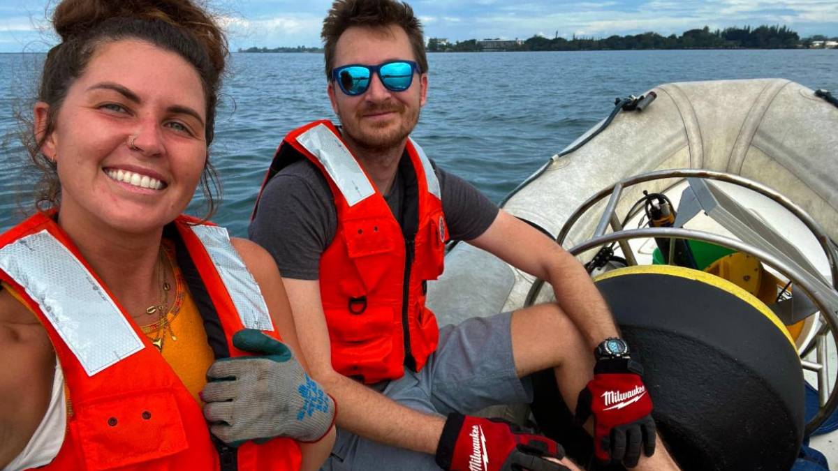
With the exceptionally active hurricane season for Hawaiʻi, the Hilo Bay water quality buoy team has been working to ensure that “Dewy” the buoy remains operational through routine maintenance, biofouling cleanups and the occasional emergency retrieval.
The severe weather has presented challenges to ocean observing equipment that is trying to collect data during the same severe weather.
Buoys can be damaged, break free or drift from their location.
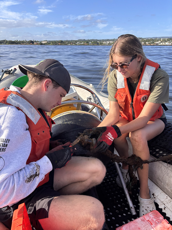
As a precaution, Dewy was removed from the bay during Hurricane Lala, whose outer bands brought strong winds and high surf to the Big island, said a newsletter from the Pacific Islands Ocean Observing System.
During Hurricanes Lowell and Nolo, which passed further away from the Big Island, Dewy remained in place and recorded data uninterrupted.
Dewy (water quality buoy-04) is located offshore of Wailuku River in Hilo Bay on the windward coast of Hawaiʻi Island. Data is recorded every 15 minutes and transmitted hourly.
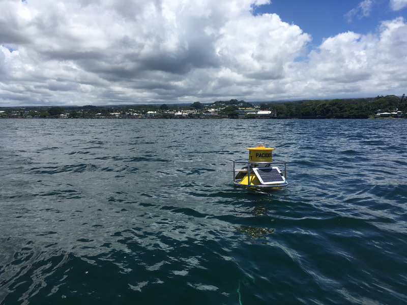
Dewy monitors coastal water conditions to help provide early indications of potentially polluted run-off from storm drainage, sewage spills, and soil erosion from land-based waterways such as streams and other outflows that lead directly into the ocean.
The buoy was especially vital during Hurricane Nolo, capturing a noticeable drop in salinity alongside sharp increases in turbidity, chlorophyll A and oxygen, corresponding with the high rainfall, and input of river and storm runoff into the bay.
These insights highlight just how essential ocean observing systems are for documenting severe, post-storm coastal water changes across Hawaiʻi.
Data from Dewy is available on the PacIOOS website.
Click here to read the behind-the-scenes story of Dewy.








