


Hurricane Nolo strengthens to a Category 4 as it moves toward Papahanaumokuakea
Hurricane Nolo is 400 miles west of Honolulu and is now a category 4 hurricane.
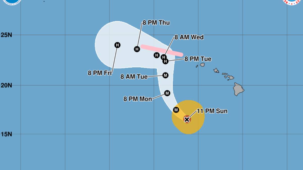
Hurricane Nolo is now moving toward Papahanaumokuakea Marine National Monument and is on track to arrive on Tuesday.
Nolo has strengthened to a category 4 hurricane and additional strengthening is expected. A gradual weakening trend is likely to begin by late Monday.
Hurricane-force winds extend outward up to 35 miles from the center and tropical-storm-force winds extend outward up to 150 miles.
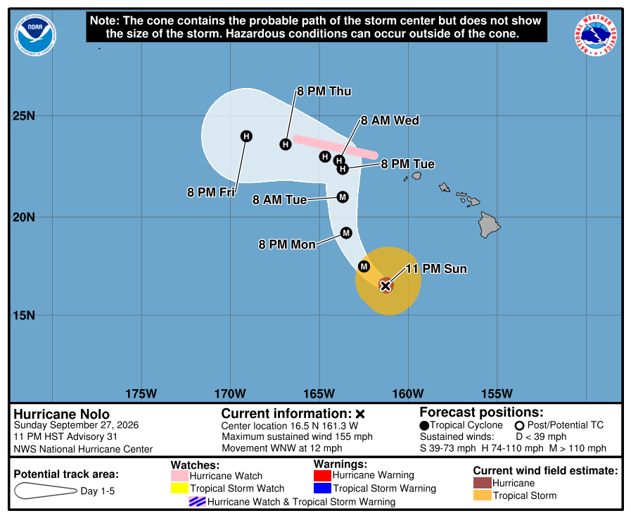
Hazards still expected to affect land
Surf:
- Swells generated by Nolo will be affecting south-facing shores of the main Hawaiian Islands for the next few days. These swells are likely to cause life-threatening surf and rip current
conditions. - Large surf associated with Nolo will affect the Papahanaumokuakea Marine National Monument beginning on Monday. These large waves will likely inundate some of the low-lying atolls, especially from French Frigate Shoals to Nihoa.
More storm forecast Information
For more scientific information about the storm forecast, click here. For storm information specific to your area, including possible inland watches and warnings, monitor products issued by the National Weather Service Honolulu forecast office.
What Big Island residents and visitors need to know
Also be sure to check out “What Big Island residents need to know about Hurricane Nolo” at Big Island Now for information about shelters, closures and other storm-related items that will help keep you safe.






