


University of Hawaiʻi launches Nolo rainfall, wind tracker
Hurricane Nolo is approaching Hawaiʻi and likely to bring heavy, potentially flood-causing rainfall and high winds, among other hazards, especially to Hawaiʻi Island.
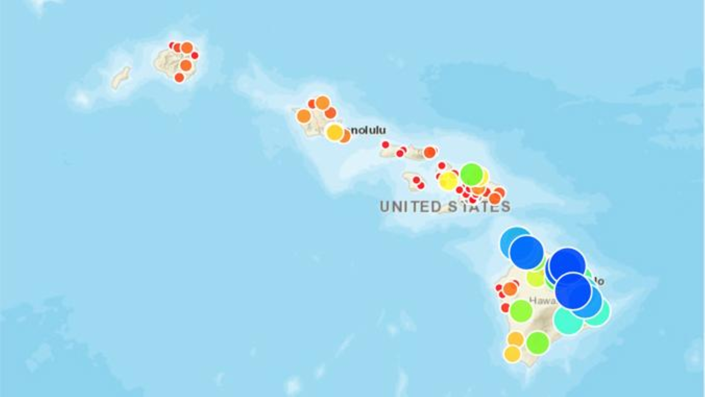
The Hawaiʻi Mesonet – Hawaiʻi Climate Data Portal team at University of Hawaiʻi launched a new website that provides easy access and up-to-date rainfall and wind observations from stations throughout the state.
“The goal is to make the observations collected by the Hawaiʻi Mesonet readily accessible during the storm so people can quickly see where rainfall and strong winds are occurring and how conditions are changing over time,” said Matt Lucas, who along with Cherryle Manzano, developed the Nolo weather tracker.
The website provides two tools for monitoring the storm:
- Current storm conditions: A map at the top of the page allows users to view either cumulative rainfall (current storm total) or maximum wind gust speed at Hawaiʻi Mesonet stations. Selecting an individual station brings up graphs showing rainfall and wind speed through time.
- Storm evolution: An animated map at the bottom of the page displays either 1-hour rainfall or maximum hourly wind gust velocity at all Hawaiʻi Mesonet stations. Users can select a specific hour to examine conditions at that time or play the map as an animation to visualize the chronology of the storm and how rainfall and wind conditions change with time.
The tracker provides observations intended to offer a straightforward way for residents, emergency managers, researchers, media and others to monitor observed rainfall and wind conditions as Hurricane Nolo approaches and moves through Hawaiʻi.








