


UPDATE: Flood watch extended for Big Island as possibility of heavy rain could lead to localized flooding
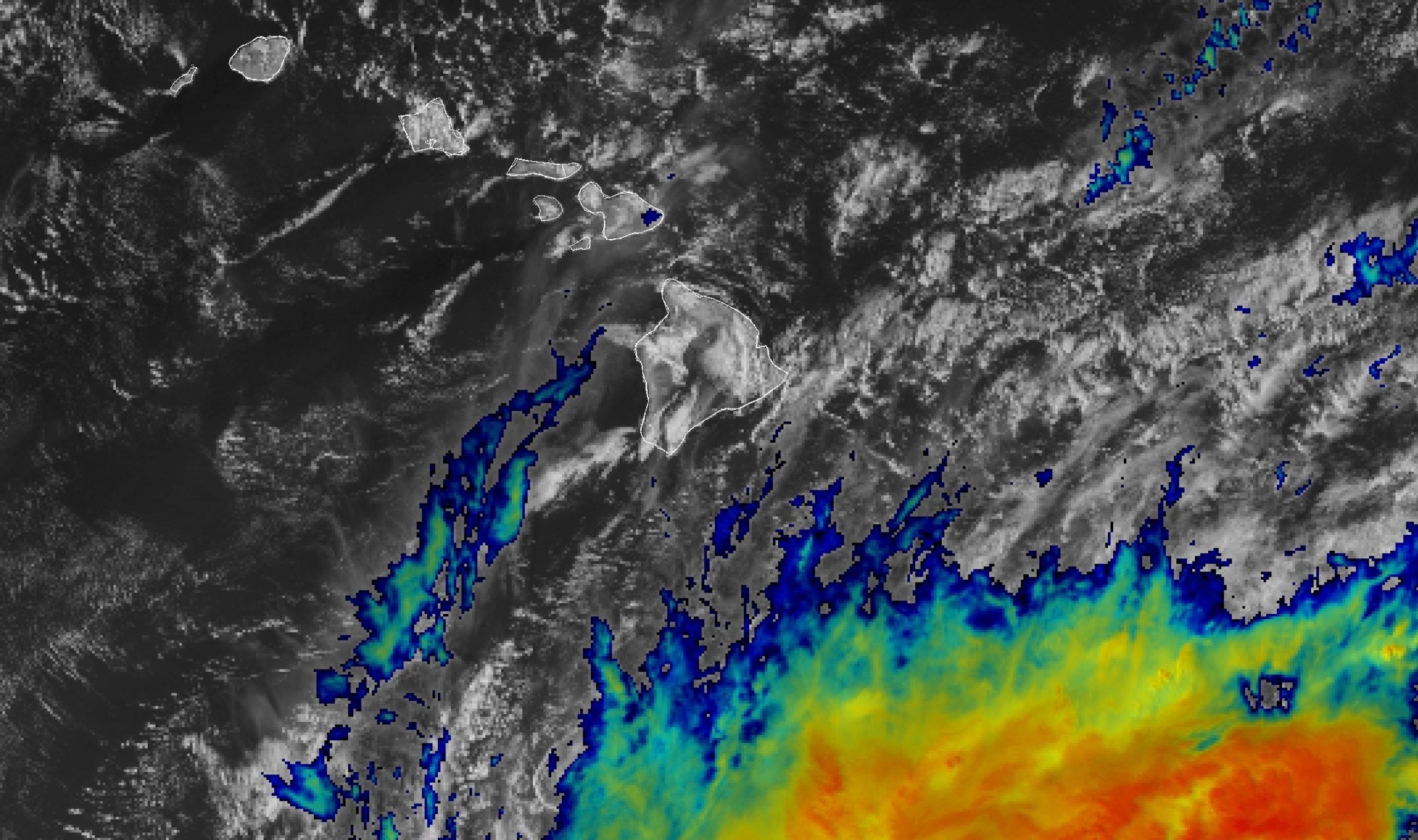
Update at 7:36 p.m. Sept. 26, 2026: Hurricane Nolo is now located south-southeast of the Big Island and beginning to move more quickly to the west. The possibility of heavy rain could lead to localized flooding through Saturday night over portions of the Big Island.
National Weather Service forecasters in Honolulu extended the flood watch in effect for the Big Island until 6 a.m. Sunday because of the potential for flash flooding caused by possible excessive rainfall.
The possibility also remains for localized flooding over areas of the Big Island because of heavy rain from Hurricane Nolo to the south-southeast of the island.
Areas most at risk for flooding are windward and southeast portions of the Big Island, where the ground remains saturated after recent rains.
The public should continue to monitor later forecasts and be prepared to take action should flash flood warnings be issued.
Story originally posted 3:06 p.m. Sept. 22, 2026: While its track is uncertain, a potential tropical cyclone is expected to bring heavy rain to the eastern end of the state throughout the coming days, triggering National Weather Service forecasters in Honolulu to issue a flood watch from the afternoon of Sept. 23 through the afternoon of Sept. 26 for the Big Island.
Flash flooding caused by excessive rainfall is possible. Flood-prone roads and other low-lying areas could be closed because of elevated runoff and overflowing streams. Urban areas also might might receive more significant flooding and property damage because of rapid runoff.
Heavy rain on the north side of a developing tropical system — the future Nolo — should develop Wednesday afternoon. Windward and southeast Big Island and windward Maui are the most likely to experience heavy rain; however, other islands in Maui County are at risk as well.
Very high rainfall rates, which can cause flash flooding, are possible within the entire watch area.
The public should monitor later forecasts and be prepared to take action should flash flood warnings be issued.







