


Magnitude-4.0 quake south of Pāhala rumbles Big Island
Hawaiian Volcano Observatory reports that a magnitude-4.0 earthquake rumbled the Big Island at about 8 a.m. Sunday, centered about 2 miles south of Pāhala at a depth of 8 miles below sea level.
The earthquake had no apparent impact on either Mauna Loa or Kīlauea volcanoes.
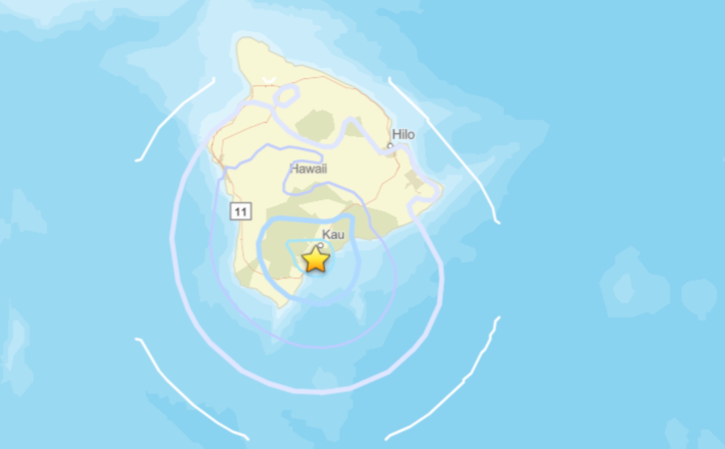
It happened near the long-term seismic swarm under the Pāhala area, which has been going on since 2019. Earthquakes in this region have been observed at least as far back as the 1960s. Click here for additional information.
Aftershocks are possible in the coming days to weeks
No damage to buildings or infrastructure was expected based on the earthquake’s intensity, which was reported by community members and measurement instrumentation as light shaking.
More than 56 “Felt Reports” were sent to the U.S. Geological Survey within the first half-hour following the earthquake. That number increased to 69 by shortly after noon Sunday.
It was felt around the Big Island, with the farthest away reports on the island coming from Kailua-Kona. There was 1 report from Honolulu, which was the farthest away the earthquake was reported felt.








