


Hawaii County Weather Forecast for July 21, 2026
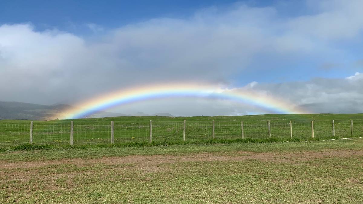
Hilo
Tonight: Mostly cloudy. Scattered showers in the evening, then numerous showers after midnight. Occasional showers late in the night. Lows 65 to 72 near the shore to 56 to 61 at 4000 feet. Northeast winds up to 10 mph in the evening becoming light. Chance of rain 80 percent.
Tuesday: Occasional showers. Highs 79 to 85 near the shore to around 67 at 4000 feet. East winds up to 10 mph. Chance of rain near 100 percent.
Tuesday Night: Occasional showers in the evening, then numerous showers after midnight. Lows 65 to 73 near the shore to 56 to 61 at 4000 feet. Northeast winds up to 10 mph. Chance of rain near 100 percent.
Kona
Tonight: Mostly clear. Lows around 75 near the shore to around 55 near 5000 feet. Light winds.
Tuesday: Sunny in the morning, then mostly cloudy with scattered showers in the afternoon. Highs 85 to 90 near the shore to around 69 near 5000 feet. West winds up to 10 mph. Chance of rain 50 percent.
Tuesday Night: Mostly cloudy. Scattered showers in the evening. Lows 73 to 78 near the shore to around 56 near 5000 feet. Light winds. Chance of rain 50 percent.
Waimea
Tonight: Partly cloudy with isolated showers. Lows 63 to 74 near the shore to 58 to 66 near 3000 feet. East winds up to 15 mph. Chance of rain 20 percent.
Tuesday: Mostly sunny with isolated showers in the morning, then mostly cloudy with scattered showers in the afternoon. Highs around 82 near the shore to 69 to 80 near 3000 feet. East winds up to 15 mph. Chance of rain 50 percent.
Tuesday Night: Mostly cloudy with scattered showers. Lows 63 to 74 near the shore to 57 to 66 near 3000 feet. East winds up to 15 mph. Chance of rain 50 percent.
Kohala
Tonight: Partly cloudy with isolated showers. Lows 63 to 74 near the shore to 58 to 66 near 3000 feet. East winds up to 15 mph. Chance of rain 20 percent.
Tuesday: Mostly sunny with isolated showers in the morning, then mostly cloudy with scattered showers in the afternoon. Highs around 82 near the shore to 69 to 80 near 3000 feet. East winds up to 15 mph. Chance of rain 50 percent.
Tuesday Night: Mostly cloudy with scattered showers. Lows 63 to 74 near the shore to 57 to 66 near 3000 feet. East winds up to 15 mph. Chance of rain 50 percent.
South Big Island
Tonight: Mostly clear. Breezy. Lows around 74 near the shore to around 57 near 5000 feet. Northeast winds up to 20 mph.
Tuesday: Breezy. Sunny in the morning, then partly sunny with scattered showers in the afternoon. Highs around 87 near the shore to around 68 near 5000 feet. East winds 10 to 20 mph. Chance of rain 50 percent.
Tuesday Night: Mostly cloudy. Breezy. Scattered showers in the evening, then isolated showers after midnight. Lows around 74 near the shore to around 56 near 5000 feet. East winds up to 20 mph. Chance of rain 40 percent.
Puna
Tonight: Mostly cloudy. Scattered showers in the evening, then numerous showers after midnight. Occasional showers late in the night. Lows 65 to 72 near the shore to 56 to 61 at 4000 feet. Northeast winds up to 10 mph in the evening becoming light. Chance of rain 80 percent.
Tuesday: Occasional showers. Highs 79 to 85 near the shore to around 67 at 4000 feet. East winds up to 10 mph. Chance of rain near 100 percent.
Tuesday Night: Occasional showers in the evening, then numerous showers after midnight. Lows 65 to 73 near the shore to 56 to 61 at 4000 feet. Northeast winds up to 10 mph. Chance of rain near 100 percent.
Waikoloa
Tonight: Mostly clear. Isolated showers until early morning. Lows around 76 near the shore to 54 to 59 above 4000 feet. Northeast winds up to 10 mph in the evening becoming light. Chance of rain 20 percent.
Tuesday: Sunny in the morning, then mostly cloudy with scattered showers in the afternoon. Highs around 88 near the shore to 66 to 72 above 4000 feet. Northwest winds up to 10 mph. Chance of rain 50 percent.
Tuesday Night: Mostly cloudy. Scattered showers in the evening. Lows around 76 near the shore to 53 to 60 above 4000 feet. Northeast winds up to 10 mph shifting to the southeast after midnight. Gusts up to 30 mph. Chance of rain 50 percent.
Detailed Forecast
Synopsis
Moderate trades turn breezy mid-week delivering showers windward and mauka through the period.
Discussion
Deeper moisture (relative to last night) lurks immediately upstream and will be ushered through the forecast area tonight through Tuesday by persistent moderate trades in the lowest levels. For the most part, a typical distribution of showers focused windward and mauka is expected. However, veering winds within the deepening boundary layer (up to approximately 10kft) yields potential for some leeward convergence downwind of Maui County potentially bringing enhanced shower coverage to Leeward Oahu mainly after midnight tonight continuing into Tuesday morning. As this moisture advances west of the islands mid-week, trades rebound under a broad low amplitude subtropical ridge. Breezy trades, high stability, and limited showers focused windward and mauka then prevail through the weekend.
Aviation
Moderate to locally breezy trade winds will persist through Tuesday and increase slightly Wednesday. This morning, an area of enhanced moisture moved onto windward Maui County, where widespread MVFR conditions have necessitated AIRMET Sierra for mountain obscuration, and as the moisture spreads westward, the AIRMET will likely be expanded to additional islands overnight. VFR conditions will prevail over most leeward areas. Drier conditions are expected to build in from the east late Wednesday.
Marine
The trade winds will hold at mostly moderate speeds today through Tuesday as very broad troughing has produced a weakness in the subtropical ridge to the northwest of the Hawaiian Islands. Trade winds strengthen to fresh and locally strong speeds Wednesday through Friday as high pressure strengthens north of the island chain.
Surf observations continue to show advisory level surf affecting south facing shores today. A High Surf Advisory remains in effect through Tuesday afternoon, during which time the swell is expected to hold and keep surf at lower-end advisory levels. This swell will then slowly fade during the middle of the week. A new long-period south swell arrives Tuesday night, builds on Wednesday, and peaks on Thursday, keeping surf elevated above the summertime average through the weekend.
Surf along east-facing shores will remain slightly below seasonal levels today through Wednesday as the trades ease upstream of the islands. East shore surf should then build back close to seasonal levels late this week and through the weekend as stronger trades return over and upstream on the islands. Additionally, swell generated by former tropical cyclone Elida may give a slight boost to east shore surf during the middle of the week. This weekend, larger surf for east shores generated by Tropical Storm Fausto is possible.
Surf along north-facing shores will remain at flat to tiny levels through the weekend.
HFO Watches/Warnings/Advisories
High Surf Advisory until 6 PM HST Tuesday for all south, facing shores.
Big Island Now Weather is brought to you by Blue Hawaiian Helicopters.
Check out their Big Island Helicopter Tours today!
Data Courtesy of NOAA.gov








