

UPDATE: Winter storm, high wind watches upgraded to warnings for Mauna Kea, Mauna Loa summits
Update at 2:10 p.m. Sunday, Jan. 4: A high wind warning will take effect from 6 a.m. Monday to 6 a.m. Tuesday for the summits of Mauna Kea and Mauna Loa, according to forecasters with the National Weather Service.
Southeast winds ranging from 50 to 60 miles per hour with gusts up to 75 miles per hour are expected.
Winds this strong can forcefully open doors, damage hinges or slam doors shut. Driving and walking are also dangerous.
Travel to the summits should be delayed until the winds subside.
Update at 7:46 a.m. Sunday, Jan. 4, 2026: A winter storm warning is now in effect until 6 a.m. Tuesday (Jan. 6) for the summits of Mauna Kea and Mauna Loa, above 11,000 feet, as deep moisture being drawn up from the south ahead of a developing cold-core kona low is expected to produce periods of heavy snow and ice atop the Big Island volcanoes.
The warning replaces a winter storm watch that was previously in effect for the summits.
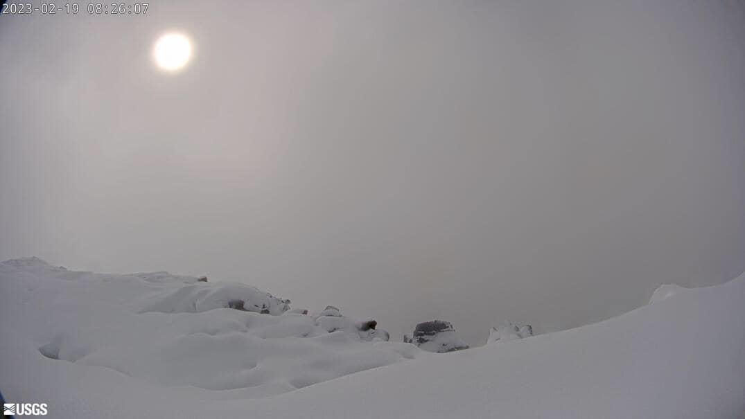
A winter storm warning means significant amounts of snow and ice accumulation are expected or occurring. Strong winds are also possible.
National Weather Service forecasters in Honolulu expect heavy mixed precipitation at that elevation and above on the summits, with total snow accumulations of up to 5 to 10 inches.
Significant accumulation of rime ice — a white, opaque, granular and brittle ice that forms when supercooled water droplets in fog or clouds freeze rapidly onto surfaces, trapping air and creating a rough texture — is also possible on summit roadways.
Winter storm conditions will make travel very hazardous or impossible. Blowing snow will significantly reduce visibility at times, with periods of zero visibility. This will make travel very hazardous or impossible.
The public is advised that any travel plans to the summits should be postponed until the threat of severe winter weather diminishes.
Adding to the hazards on the Big Island summits will be blustery southeast winds.
A high wind watch will be in effect from 6 a.m. Monday (Jan. 5) through 6 a.m. Tuesday, as forecasters warn about southeast winds of between 50 and 65 mph, with gusts up to 80 mph.
A high wind watch means strong and potentially damaging winds in excess of 56 mph, with frequent gusts above 66 mph, are expected but not yet happening.
Winds that strong can make driving and walking dangerous. They also can forcefully open doors and damage hinges or slam doors shut, possibly causing injuries.
The public is advised to take precautions now to protect property, including tying down loose objects or moving them to a sheltered location.
Forecasters expect the kona low to weaken southwest of the islands beginning Tuesday and continuing through midweek.
Original story published at 2:31 p.m. Saturday, Jan. 3, 2026: Rich moisture being brought up from the southeast ahead of a developing kona low to the north and west of the islands will move into a subfreezing air mass at the upper elevations of Mauna Loa and Mauna Kea on the Big Island, producing periods of snow and possibly ice accumulation.
National Weather Service forecasters in Honolulu issued a winter storm watch for the summit areas of both mountains as a result.
The watch goes into effect at 6 a.m. Sunday (Jan. 4) and will remain active through 6 a.m. Tuesday (Jan. 6), unless otherwise upgraded, downgraded or canceled by the National Weather Service.
A winter storm watch means there is potential for significant snow or ice accumulations that can impact the summits.
Snow accumulation of more than 6 inches with light ice accumulation are possible. Winds will also increase, with gusts of up to 65 mph Monday.
Travel could be very difficult to impossible. Blowing snow will significantly reduce visibility at times, with periods of zero visibility.
Anyone planning travel to the summits — including hikers and campers — should monitor the latest forecasts and consider postponing their trip until improved weather returns.
Sponsored Content


