Dora intensifies to Category 4 Hurricane as churns toward Central Pacific; forecast to weaken, pass well south of Hawaiʻi
Hurricane Dora, which has intensified into a major Category 4 storm, continues to move west toward the Central Pacific at nearly 17 mph and packing maximum sustained winds of 130 mph with higher gusts.
At 11 p.m. Wednesday, Dora was in the eastern Pacific — about 2,500 miles east-southeast of Hilo.
Dora now is a category 4 hurricane on the Saffir-Simpson Hurricane Wind Scale, and the National Central Pacific Hurricane Center reports some additional strengthening
is expected early Thursday.
But forecasters say it will be followed by gradual weakening beginning late Thursday and continuing through Friday as it moves over cooler sea surface temperatures and runs into an increase in easterly shear.

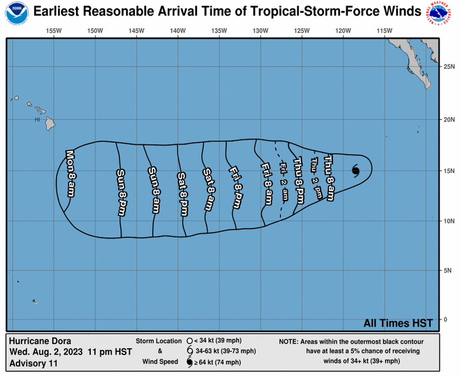
Based on current forecasts, the National Weather Service in Honolulu said Hurricane Dora will cross into the Central Pacific basin late this weekend and on a track well south of the Hawaiian Islands. This would lead to increased trade wind speeds on Monday and Tuesday.
Dora is a small tropical cyclone with hurricane-force winds extending outward up to 15 miles from the center and tropical-storm-force winds extending outward up to 45 miles.
But uncertainty remains high with the intensity forecast since the compact system could be more prone to rapid intensity fluctuations.

Dora is the fourth hurricane to develop so far this eastern Pacific season.
Sponsored Content
Comments


