UPDATE: High wind warning for Kohala, high surf warning for east-facing Big Island shores
Updated at 6:20 a.m. on March 1: The National Weather Service has extended the high wind warning until 6 am. Thursday for Kohala District of Big Island. A high wind advisory also remains in place for much of the rest of the island until the same time.
Strong high pressure far north of the main Hawaiian Islands will continue to produce strong and gusty trade winds. Wind speeds are expected to slightly increase on Wednesday and will exceed advisory thresholds across many parts of the state. Isolated pockets of warning level wind gusts are expected in the Kohala districts of the Big Island where a High Wind Warning has been extended.
East winds of 30 to 45mph with localized gusts over 60 mph are forecast in some areas.
Original post: The National Weather Service in Honolulu has issued a high wind warning in effect until 6 p.m. Wednesday, March 1, for the Kohala districts on the Big Island. A wind advisory also remains in place for much of the rest of the island until the same time.
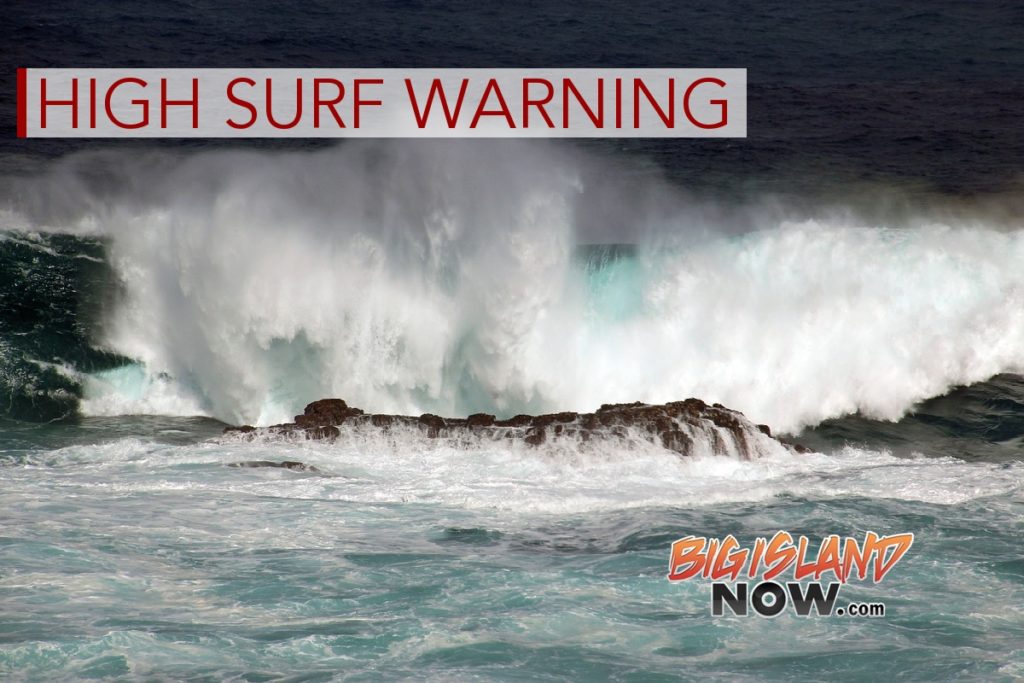
A high surf warning also is now in effect for the east-facing shores of the island until 6 a.m. Thursday, March 2.
A strong high-pressure system far north of the Hawaiian Islands will continue to produce strong and gusty trade winds. Wind speeds are expected to slightly increase tonight into Wednesday and exceed advisory thresholds throughout many parts of the state. Isolated pockets of warning level wind gusts already have been seen in Kohala.
East winds of 30 to 45 mph, with localized gusts of more than 60 mph, are forecast in the warning areas. These damaging winds can blow down trees and power lines and damage roofs. Power outages are possible, and travel will be difficult, especially for high-profile vehicles.
Strong winds could also lead to property damage and hazardous and possibly dangerous driving conditions because of powerful cross winds, especially for lightweight and high-profile
vehicles. Loose outdoor items should be brought inside or secured properly.
Surf of 10 to 15 feet is forecast for the east-facing shorelines of the island. Expect very strong breaking waves and powerful currents. Waves breaking in channel entrances could make navigating the channels dangerous.
People are advised to stay away from the shoreline along the affected coasts. Be prepared for road closures. Postpone entering or leaving channels affected by the high surf until the surf subsides.
Sponsored Content
Comments


