

Rain, rain, go away: Eastern, southern portions of Big Island still getting wet
If you’re in the eastern or southern portions of the Big Island and wondering when the wet weather will subside, you’re likely not alone.
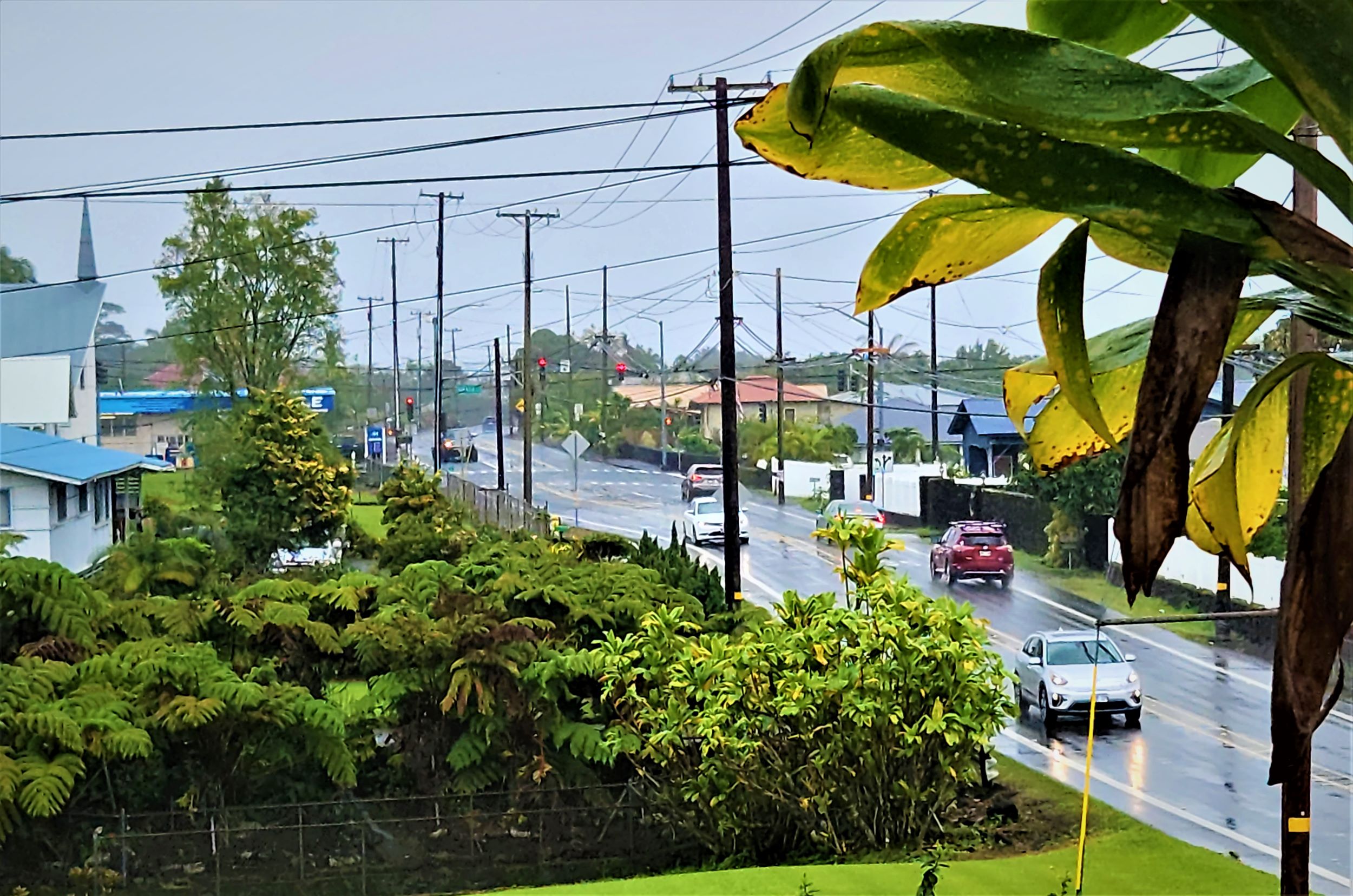
Back-to-back Kona Lows have made a soggy mess out of about half of the island during the past week. Despite a few breaks here and there and lighter rainfall replacing heavy downpours, the faucet has remained pretty much open since Feb. 16, with dreary, gray, cloudy skies dominating.
“It’s a nightmare,” Christi Jo Winters said in a post Wednesday in the Puna Weather group on Facebook. “It hasn’t stopped raining for like five days in Volcano.”
“I’m happy my plants are getting watered, but I wouldn’t mind [an] afternoon sun break,” Bri Martino chimed in on the same post.
A quick glance at the forecast from the National Weather Service in Honolulu makes it clear that wet is likely to still be the theme for the near future. There is at least a 50% chance of scattered showers on Wednesday afternoon, with that chance increasing to 80% Wednesday night for some locations in East Hawai‘i.
Showers are forecast to continue into Thursday, mainly before noon, and again Thursday night. That weather pattern is expected to continue through the weekend for many locations of windward Hawai‘i Island. Fortunately, for other places such as the Pāhala area in Kaʻū, which has been one of the hardest hit by the recent deluge and flooding, there appears to be some relief on the way.

The chance for rain in Pāhala decreases to about 20% on Wednesday night and then mostly sunny and breezy conditions are expected on Thursday, with a 30% chance for scattered showers returning after noon. There remains a chance for isolated or scattered showers through the weekend.
Drier air and strong easterly trade winds are expected through Friday, the National Weather Service said on Wednesday morning. But a wetter trade wind pattern is possible this weekend as an upper disturbance settles southward into the area.
There also is a high surf advisory that remains in effect through 6 p.m. on Wednesday for east-facing shores of the island, with rough surf of 7 to 10 feet forecast, creating strong breaking waves and currents and making swimming dangerous.
Meanwhile, conditions are fair this afternoon in Kailua-Kona, but there’s even a slight chance for scattered and isolated showers in the West Hawai’i community for the rest of this week and into the weekend.
Watch Big Island Now later this week for a recap of all of the stormy weather during the two Kona lows.
Sponsored Content


