

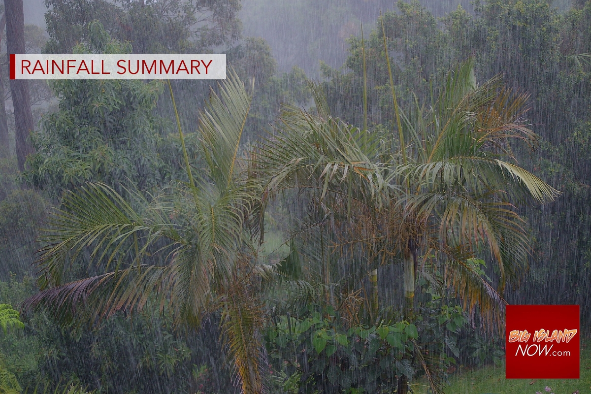
December rainfall totals vary from mostly above to mostly below average
Rainfall totals on the Big Island in December ranged from mostly above average in the northwest half of the island to mostly below average in the southeast half, according to the monthly rainfall summary from the National Weather Service in Honolulu.
The U.S. Geological Survey’s rain gauge at Kawainui Stream had the highest monthly total of 15.03 inches, or 112% of average, and the highest daily total of 9.23 inches on Dec. 19. The Hōnaunau and Kealakekua gauges had their highest December totals on record. The Pōhakuloa Training Area Kīpuka ʻAlalā and Kaʻūpūlehu gauges had their highest December totals since 2007 and 2010, respectively.
To see the rainfall totals for December from gauges around the island, click here.
A generally dry and stable weather pattern dominated conditions across the main Hawaiian Islands through the first two weeks of December. The trade winds during a portion of this time period reached fresh to strong intensities, but rainfall totals were low overall.
On Dec. 14-15, the central North Pacific weather pattern began to change significantly and shifted the trade winds away from the state almost until the end of the month. Early in this period, a weak cold front approached the state from the northwest. Some thunderstorms were generated, but the storm system dissipated after reaching Kauaʻi on Dec. 16.
A couple of days later, a much stronger storm system moved into the area and produced the most significant weather event of the month, and possibly the year depending on what metrics are used.
“There is some debate on whether this was a strong extratropical system or a Kona low,” the rainfall summary said. “Regardless of nomenclature, the impacts from this low pressure system were significant in many areas of the state.”
The atmosphere rapidly destabilized on Dec. 18 as a short wave trough aloft moved over the state from the west. Heavy rainfall cores were initially disorganized as the trough moved over Kauaʻi and Oʻahu, but coalesced into a better defined band as it moved over Maui County.
The southwestern flank of Haleakalā on Maui received 2 to 4 inches of rainfall within a few hours, causing flash flooding within the normally dry gulches draining through the Kīhei area. Notably, South Kīhei Road was closed for several hours because of the flooding out of Kūlanihākoʻi Gulch. The rain band weakened by the time it reached the west side of the Big Island, but still managed to cause flooding in several areas in North and South Kohala, including Akoni Pule Highway (Highway 270) just south of Hāwī and Hawaiʻi Belt Road (Highway 190) at Kamakoa Gulch.
On Dec. 19, the main cold front associated with the storm system moved rapidly across the state in conjunction with very unstable conditions aloft. Although there were intense rainfall cores embedded within the frontal rain band, the rapid movement of these cores mitigated significant flooding impacts until it reached the Big Island.
Upon reaching the Kohala and Kona slopes, the band intensified over areas already soaked from the previous day’s rainfall. Significant flooding occurred along Kawaihae Road near Akulani Street. Flooding also closed Waikōloa Road near the Paniolo Avenue intersection, and the upper portion of Palani Road near Kailua-Kona.
The storm system also produced widespread wind impacts such as downed power lines and trees, and other property damage. Wind gusts in excess of 50 miles per hour were observed in all four counties of the state. Strong thunderstorms also produced small hail in several areas, along with gusty winds.
After the storm system exited the area to the northeast, a surface ridge of high pressure remained near the island chain for the rest of December, keeping winds light and even westerly for a few days. Very little rainfall occurred over the state during this period.
Rainfall totals on the Big Island for 2022 were near to above average at most of the gauges in the North Kona and South Kona Districts. The rest of the gauges on the Big Island had mostly near to below average annual totals.
The U.S. Geological Survey’s rain gauge at Honoliʻi Stream had the highest annual total of 166.74 inches, or 72% of average. The Waiākea Uka and Hilo Airport gauges had their lowest annual totals since 2010 and 2012, respectively.
To see the rainfall totals from around the island for 2022, click here.
Sponsored Content


