

Earthquake Rumbles Under Kīlauea’s South Flank
An earthquake has struck beneath the south flank of Kīlauea on the Big Island.
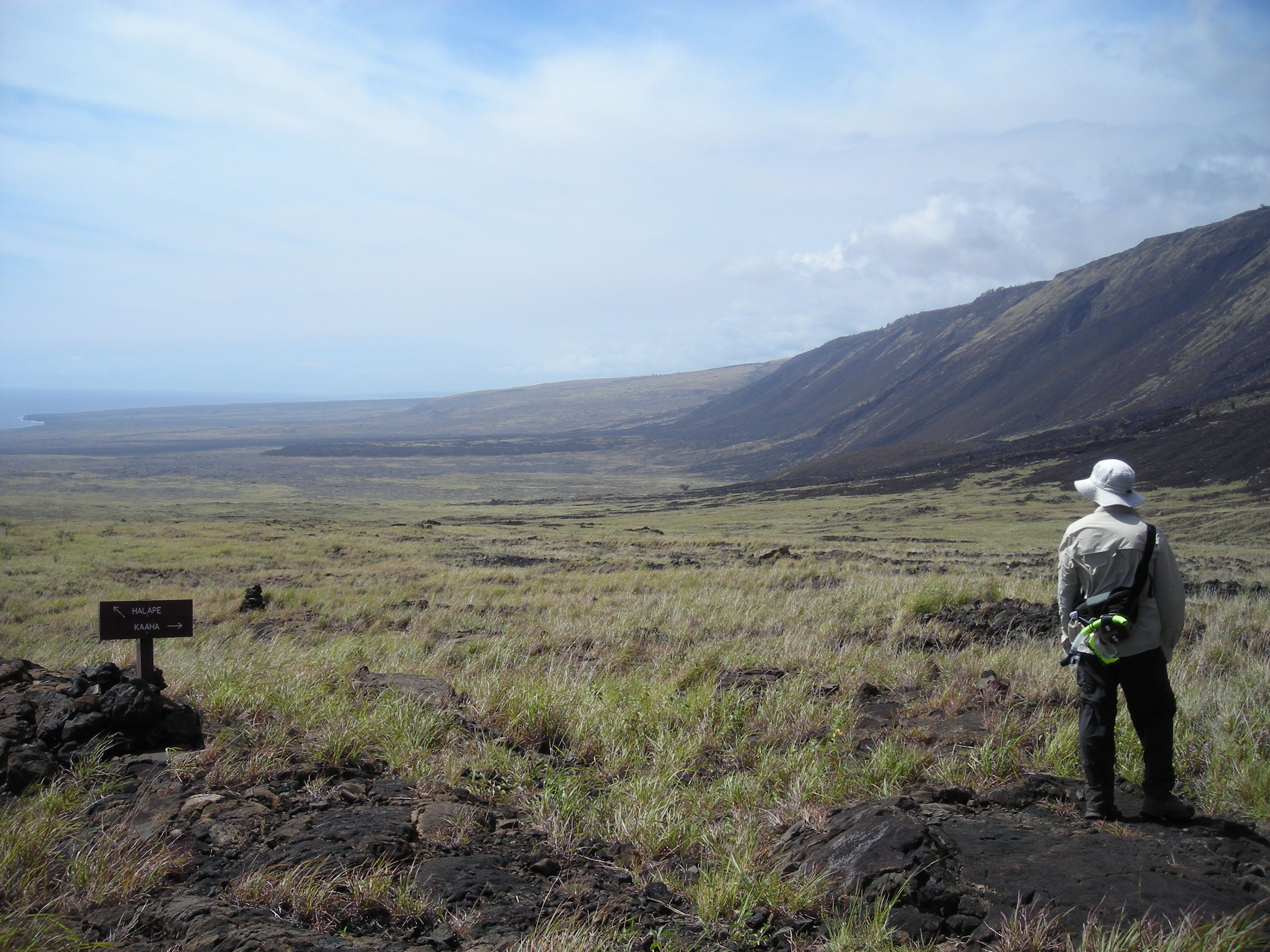
The US Geological Survey’s Hawaiian Volcano Observatory (HVO) recorded a magnitude-4.2 earthquake located in the region on Sunday, May 23, at 11:41 a.m., HST. The earthquake was centered about nine miles south of Volcano, under the Hilina Pali area of Hawai‘i Volcanoes National Park at a depth of five miles.
A map showing its location is posted on the HVO website. More details are available at the National Earthquake Information Center website.
Weak to light shaking, with maximum Intensity of IV on the Modified Mercalli Intensity Scale, has been reported across the Island of Hawai‘i. At that intensity, significant damage to buildings or structures is not expected. The USGS Did you feel it? service (http://earthquake.usgs.gov/dyfi/) received over 175 felt reports within the first hour of the earthquake.
According to HVO Scientist-in-Charge Ken Hon, the earthquake had no apparent effect on Kīlauea or Mauna Loa volcanoes.
“We see no detectable changes in activity at the summits or along the rift zones of Kīlauea or Mauna Loa as a result of this earthquake,” he said. “Aftershocks are possible and could be felt.” HVO continues to monitor Kīlauea and other Hawaiian volcanoes for any changes.
Kīlauea’s south flank has been the site of 40 earthquakes of magnitude-4.0 or greater during the past 20 years. Most are caused by abrupt motion of the volcano’s south flank, which moves to the southeast over the oceanic crust.
The location, depth, and waveforms recorded as part of Sunday’s earthquake are consistent with slip along the steep faults of the pali. A few felt earthquakes preceded this event, including a magnitude-3.6 and magnitude-3.4 earlier in the morning. Aftershocks from this magnitude-4.2 earthquake are likely.
For information on recent earthquakes in Hawaii and eruption updates, visit the USGS Hawaiian Volcano Observatory website at https://www.usgs.gov/hvo.
Sponsored Content


