

February 04, 2019 Surf Forecast
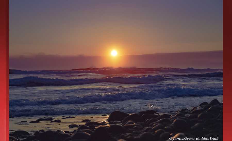
Photo: James Grenz
Swell Summary
Outlook through Monday February 11: A moderate west-northwest swell expected by Wednesday will lead to rising surf along north and west facing shores. Surf should remain below advisory levels. Surf may near advisory levels for east facing shores Wednesday night through Thursday night as a long-period northeast swell arrives. Rough conditions are expected along north and west facing shores Friday into the weekend due to a combination of moderate to strong northerly winds and a large northwest swell. Surf will likely exceed warning levels for north and west facing shores Friday.
Surf heights are forecast heights of the face, or front, of waves. The surf forecast is based on the significant wave height, the average height of the one third largest waves, at the locations of the largest breakers. Some waves may be more than twice as high as the significant wave height. Expect to encounter rip currents in or near any surf zone.
North East
am ![]()
![]() pm
pm ![]()
![]()
Surf: Waist to chest high NE wind swell for the morning drops a bit during the afternoon.
Conditions: Light sideshore texture in the morning with NW winds 5-10mph. Semi glassy/semi bumpy conditions for the afternoon with the winds shifting to the NNE.
North West
am ![]()
![]() pm
pm ![]()
![]()
Surf: Knee to waist high WNW ground swell for the morning with occasional stomach high sets. This drops a bit in the afternoon.
Conditions: Light sideshore texture in the morning with NE winds 5-10mph. Glassy conditions for the afternoon with the winds shifting NNW less than 5mph.
West
am ![]()
![]() pm
pm ![]()
![]()
Surf: Waist to chest high WNW ground swell for the morning with occasional shoulder high sets. This drops a bit in the afternoon.
Conditions: Glassy in the morning with SE winds less than 5mph. Semi glassy/semi bumpy conditions for the afternoon with the winds shifting to the SW.
South East
am ![]()
![]() pm
pm ![]()
![]()
Surf: Knee to waist high wind swell with occasional stomach sets. The swell will be coming from the ENE in the morning and shift to the SE during the day.
Conditions: Fairly clean in the morning with N winds 10-15mph. This becomes Semi clean/sideshore texture and current for the afternoon.

Image: NOAA

Image: NOAA
Image: NOAA

Image: NOAA

Image: NOAA

Image: NOAA
**Click directly on the images below to make them larger. Charts include: Hawaii County projected winds, tides, swell direction & period and expected wave heights.**
Data Courtesy of NOAA.gov and SwellInfo.com
Sponsored Content


