

January 22, 2019 Surf Forecast
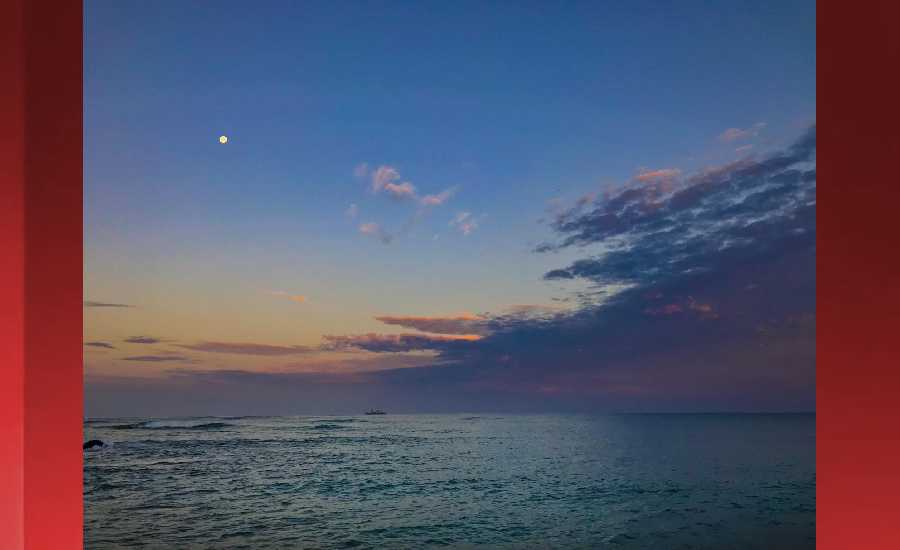
Photo: James Grenz
Swell Summary
Outlook through Tuesday January 29: Surf will be on the rise along north and west facing shores through tonight, peaking Wednesday, at just below warning levels. A follow- up boost with a similar size as the first, will come between Thursday night and Friday before filling. The east facing shores will also see a slight rise in the surf through Wednesday from a trade wind swell generated upwind of the islands, while a small background south swell, combined with the east swell, will maintain higher than usual surf heights for this time of the year along south facing shores for the next couple of days.
Surf heights are forecast heights of the face, or front, of waves. The surf forecast is based on the significant wave height, the average height of the one third largest waves, at the locations of the largest breakers. Some waves may be more than twice as high as the significant wave height. Expect to encounter rip currents in or near any surf zone.
North East
am ![]()
![]() pm
pm ![]()
![]()
Surf: Chest to shoulder high ESE medium period swell.
Conditions: Sideshore texture/chop with SSE winds 15-20mph in the morning shifting SE for the afternoon.
North West
am ![]()
![]() pm
pm ![]()
![]()
Surf: Waist to stomach high WNW long period swell for the morning with occasional chest high sets. The swell builds in the afternoon with sets up to shoulder high.
Conditions: Light sideshore texture in the morning with ENE winds 5-10mph. Semi glassy/semi bumpy conditions for the afternoon with the winds shifting to the WSW.
West
am ![]()
![]() pm
pm ![]()
![]()
Surf: Waist to chest high WNW long period swell for the morning with occasional shoulder high sets. This builds in the afternoon with sets up to head high.
Conditions: Semi glassy in the morning with SSE winds less than 5mph. Semi glassy/semi bumpy conditions for the afternoon with the winds shifting to the WNW.
South East
am ![]()
![]() pm
pm ![]()
![]()
Surf: Chest to shoulder high ESE medium period swell.
Conditions: Semi glassy in the morning with NNE winds less than 5mph. Semi glassy/semi bumpy conditions for the afternoon with the winds shifting to the ENE.

Image: NOAA

Image: NOAA
Image: NOAA

Image: NOAA
Image: NOAA

Image: NOAA
**Click directly on the images below to make them larger. Charts include: Hawaii County projected winds, tides, swell direction & period and expected wave heights.**
Data Courtesy of NOAA.gov and SwellInfo.com
Sponsored Content


