

January 17, 2019 Surf Forecast
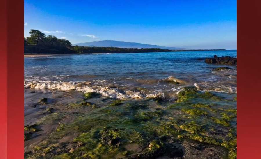
Photo: James Grenz
Swell Summary
Outlook through Thursday January 24: A short to mid period pulse from the northwest will boost surf to at or near advisory levels for the west and north facing shores tonight through Friday before fading over the weekend. East facing shores will see a slight bump up over the weekend due to the return of locally strong trade winds. A series of small to moderate northwest swells is expected through early next week and will be followed by larger northwest swells towards the middle of next week.
Surf heights are forecast heights of the face, or front, of waves. The surf forecast is based on the significant wave height, the average height of the one third largest waves, at the locations of the largest breakers. Some waves may be more than twice as high as the significant wave height. Expect to encounter rip currents in or near any surf zone.
North East
am ![]()
![]() pm
pm ![]()
![]()
Surf: Stomach to shoulder high NNW ground swell.
Conditions: Clean in the morning with WSW winds less than 5mph. Semi choppy conditions for the afternoon with the winds shifting NNW 5-10mph.
North West
am ![]()
![]() pm
pm ![]()
![]()
Surf: Knee to waist high WNW ground swell with occasional stomach high sets.
Conditions: Clean in the early morning with SSE winds less than 5mph. Sideshore texture/chop conditions move in during the morning hours with the winds shifting SSW 10-15mph.
West
am ![]()
![]() pm
pm ![]()
![]()
Surf: Waist to chest high WNW ground swell with occasional shoulder high sets.
Conditions: Semi glassy in the morning with SE winds less than 5mph. Semi choppy conditions for the afternoon with the winds shifting S 5-10mph. Clean conditions are expected for the late day with ENE winds less than 5mph.
South East
am ![]()
![]() pm
pm ![]()
![]()
Surf: Waist to stomach high ESE wind swell.
Conditions: Choppy/disorganized with SSW winds 10-15mph in the morning increasing to 15-20mph in the afternoon.

Image: NOAA

Image: NOAA

Image: NOAA

Image: NOAA

Image: NOAA
**Click directly on the images below to make them larger. Charts include: Hawaii County projected winds, tides, swell direction & period and expected wave heights.**
Data Courtesy of NOAA.gov and SwellInfo.com
Sponsored Content


