

January 16, 2019 Surf Forecast
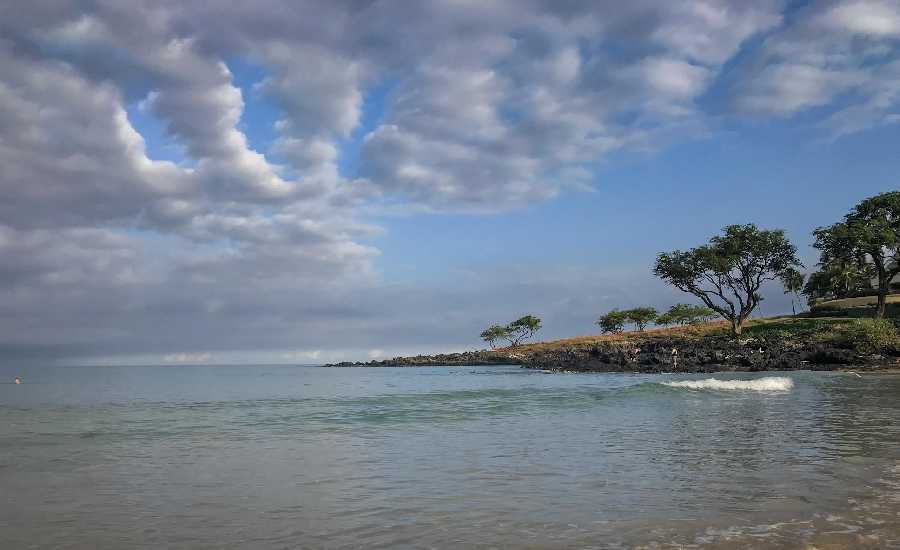
Photo: James Grenz
Swell Summary
Outlook through Wednesday January 23: The current northwest swell continues to fill this early Wednesday morning. Shores under the High Surf Warning has been downgraded to a High Surf Advisory. Leeward Big Island coast will remain under a High Surf Advisory through today. A new short period pulse from the northwest will boost surf to at or near advisory levels for the west and north facing shores Thursday night through Friday before filling. East facing shores will see a slight bump up over the weekend due to the return of locally strong trade winds. A series of northwest swell will gradually raise the surf to just below advisory levels along the north and west facing shores between Monday and Tuesday night.
Surf heights are forecast heights of the face, or front, of waves. The surf forecast is based on the significant wave height, the average height of the one third largest waves, at the locations of the largest breakers. Some waves may be more than twice as high as the significant wave height. Expect to encounter rip currents in or near any surf zone.
North East
am ![]()
![]() pm
pm ![]()
![]()
Surf: Head high NW ground swell with occasional 1-2′ overhead high sets.
Conditions: Sideshore texture/chop with SSE winds 15-20mph in the morning shifting ESE for the afternoon.
North West
am ![]()
![]() pm
pm ![]()
![]()
Surf: Stomach to shoulder high WNW ground swell for the morning. This fades in the afternoon with sets up to chest high.
Conditions: Clean in the morning with ESE winds 5-10mph. Semi glassy/semi bumpy conditions for the afternoon with the winds shifting to the N.
West
am ![]()
![]() pm
pm ![]()
![]()
Surf: Shoulder to head high WNW ground swell with occasional 1-2′ overhead high sets.
Conditions: Glassy in the morning with NNE winds less than 5mph. Light sideshore texture conditions for the afternoon with the winds shifting NW 5-10mph.
South East
am ![]()
![]() pm
pm ![]()
![]()
Surf: Waist to stomach high ESE medium period swell with occasional chest high sets.
Conditions: Bumpy/semi bumpy with SE winds 5-10mph in the morning shifting S for the afternoon.

Image: NOAA

Image: NOAA

Image: NOAA
Image: NOAA

Image: NOAA
**Click directly on the images below to make them larger. Charts include: Hawaii County projected winds, tides, swell direction & period and expected wave heights.**
Data Courtesy of NOAA.gov and SwellInfo.com
Sponsored Content


