

December 29, 2018 Surf Forecast
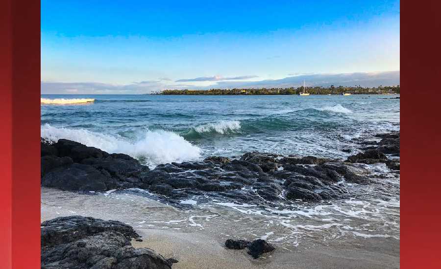
Photo: James Grenz
Swell Summary
Outlook through Saturday January 05: The current advisory level northwest swell will continue to lower through the rest of the weekend. A small northwest swell is expected Monday into early Tuesday. This will be followed by another advisory level northwest swell on Tuesday, peak Wednesday and Wednesday night, then lower gradually on Thursday. East facing shores will see a small incremental increase in the surf through Monday, finally reaching advisory level of 8 feet sometime early next week. This comes about as the trade wind strengthens further.
Surf heights are forecast heights of the face, or front, of waves. The surf forecast is based on the significant wave height, the average height of the one third largest waves, at the locations of the largest breakers. Some waves may be more than twice as high as the significant wave height. Expect to encounter rip currents in or near any surf zone.
North East
am ![]()
![]() pm
pm ![]()
![]()
Surf: Shoulder to head high mix of NW ground swell and E medium period swell with occasional 1-2′ overhead sets.
Conditions: Choppy/sideshore current with SE winds 15-20mph.
North West
am ![]()
![]() pm
pm ![]()
![]()
Surf: Knee to thigh high WNW ground swell.
Conditions: Fairly clean in the morning with S winds 5-10mph. Sideshore texture/chop conditions for the afternoon with the winds shifting to the WSW.
West
am ![]()
![]() pm
pm ![]()
![]()
Surf: Waist to chest high NW ground swell for the morning with occasional shoulder high sets. This drops in the afternoon with occasional stomach high sets.
Conditions: Clean in the morning with E winds less than 5mph. Semi choppy conditions for the afternoon with the winds shifting NW 5-10mph.
South East
am ![]()
![]() pm
pm ![]()
![]()
Surf: Chest to head high E medium period swell.
Conditions: Semi choppy with ENE winds 5-10mph.

Image: NOAA

Image: NOAA
Image: NOAA

Image: NOAA
Image: NOAA

Image: NOAA
**Click directly on the images below to make them larger. Charts include: Hawaii County projected winds, tides, swell direction & period and expected wave heights.**
Data Courtesy of NOAA.gov and SwellInfo.com
Sponsored Content


