

December 27, 2018 Surf Forecast
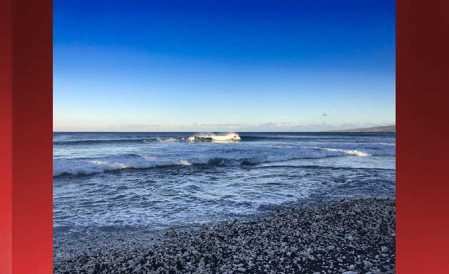
Photo: James Grenz
Swell Summary
Outlook through Thursday January 03: Surf will begin to rise by the end of the day today, potentially reaching warning levels tonight through Friday along exposed north and west facing shores as a larger northwest swell fills in. This swell gradually lower into the weekend, but a series of west- northwest swell is forecast to arrive next Monday and peak Tuesday night with surf at or near advisory levels for the north and west facing shores. Strong, persistent trade winds east of the islands has generated an easterly swell that will keep the surf up along east facing shores even as the trades become light and variable over some parts of the island chain during the next couple of days. Moderate to strong and gusty trades will return over the weekend, and this will bump the surf along east facing shores to near advisory level.
Surf heights are forecast heights of the face, or front, of waves. The surf forecast is based on the significant wave height, the average height of the one third largest waves, at the locations of the largest breakers. Some waves may be more than twice as high as the significant wave height. Expect to encounter rip currents in or near any surf zone.
North East
am ![]()
![]() pm
pm ![]()
![]()
Surf: Chest to shoulder high mix of E medium period swell and NW ground swell with occasional head sets.
Conditions: Semi clean/textured in the morning with S winds 10-15mph. Choppy/sideshore current conditions for the afternoon with the winds shifting SE 15-20mph.
North West
am ![]()
![]() pm
pm ![]()
![]()
Surf: Knee high WNW ground swell with occasional thigh high sets.
Conditions: Clean in the early morning with SSE winds less than 5mph. Bumpy/semi bumpy conditions move in during the morning hours with the winds shifting W 5-10mph.
West
am ![]()
![]() pm
pm ![]()
![]()
Surf: Waist high NW ground swell in the morning with occasional stomach high sets. This drops a bit in the afternoon.
Conditions: Clean in the early morning with NE winds less than 5mph. Bumpy/semi bumpy conditions move in during the morning hours with the winds shifting WNW 5-10mph.
South East
am ![]()
![]() pm
pm ![]()
![]()
Surf: Chest to shoulder high E medium period swell with occasional head high sets.
Conditions: Bumpy/semi bumpy in the morning with E winds 5-10mph. Semi glassy/semi bumpy conditions for the afternoon with the winds shifting to the ESE.

Image: NOAA

Image: NOAA

Image: NOAA

Image: NOAA

Image: NOAA
**Click directly on the images below to make them larger. Charts include: Hawaii County projected winds, tides, swell direction & period and expected wave heights.**
Data Courtesy of NOAA.gov and SwellInfo.com
Sponsored Content


