

November 28, 2018 Surf Forecast
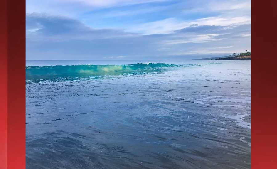
Photo: James Grenz
Swell Summary
Outlook through Wednesday December 05: The current large northwest swell will continue to subside over the next few days. Surf should drop below advisory thresholds tonight. A series of moderate northwest swells are expected through the weekend. A large northwest swell may arrive Tuesday night. Choppy surf will remain along east facing shores today due to the breezy trade winds. Surf should drop tomorrow as the trades weaken. Surf will remain small along south facing shores.
Surf heights are forecast heights of the face, or front, of waves. The surf forecast is based on the significant wave height, the average height of the one third largest waves, at the locations of the largest breakers. Some waves may be more than twice as high as the significant wave height. Expect to encounter rip currents in or near any surf zone.
North East
am ![]()
![]() pm
pm ![]()
![]()
Surf: Head high NNW ground swell with occasional 1-3′ overhead high sets.
Conditions: Sideshore texture/chop with SE winds 10-15mph in the morning increasing to 15-20mph in the afternoon.
North West
am ![]()
![]() pm
pm ![]()
![]()
Surf: Knee high WNW ground swell with occasional thigh high sets.
Conditions: Clean in the morning with SE winds less than 5mph. Semi glassy/semi bumpy conditions for the afternoon with the winds shifting WSW 5-10mph.
West
am ![]()
![]() pm
pm ![]()
![]()
Surf: Stomach to shoulder high NW ground swell for the morning. This fades in the afternoon with sets up to chest high.
Conditions: Semi glassy/semi bumpy in the morning with S winds less than 5mph. Bumpy/semi bumpy conditions for the afternoon with the winds shifting WNW 5-10mph. Glassy conditions are expected for the late day with N winds less than 5mph.
South East
am ![]()
![]() pm
pm ![]()
![]()
Surf: Chest to shoulder high E medium period swell with occasional head high sets.
Conditions: Fairly clean in the morning with N winds 5-10mph. Light sideshore texture conditions for the afternoon with the winds shifting to the NNE.

Image: NOAA

Image: NOAA
Image: NOAA

Image: NOAA

Image: NOAA
**Click directly on the images below to make them larger. Charts include: Hawaii County projected winds, tides, swell direction & period and expected wave heights.**
Data Courtesy of NOAA.gov and SwellInfo.com
Sponsored Content


